Slavonice

Log in to your account

AroundUs is a community-driven map of interesting places, built by curious explorers like you. It grows with every review, story, and photo you share.
Connect to save your favorite spots, contribute locations, and create personalized routes.
Continue with Google
Continue with Apple
Continue with X
Continue with Facebook
Continue with email
By continuing, you accept our Terms and Conditions and our Privacy Policy
Create an account
Add to collection
Map
Suggest a change
Share

Slavonice, Renaissance town in Jindřichův Hradec District, Czech Republic

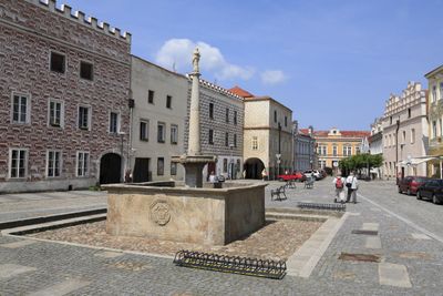
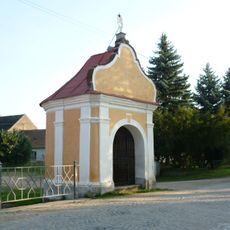
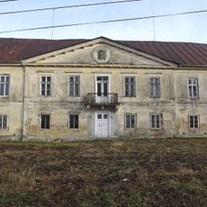
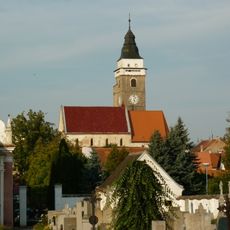
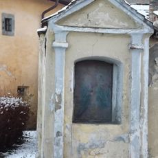
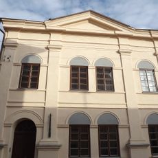
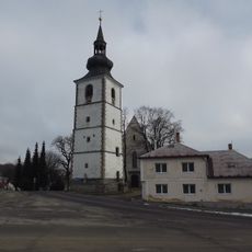
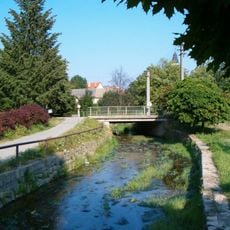
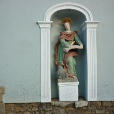
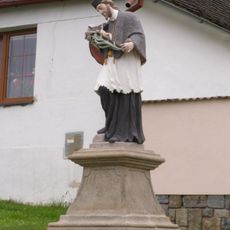
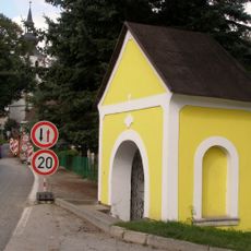
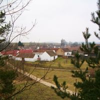
Slavonice is a town in Jindřichův Hradec District featuring many buildings decorated with sgraffito artwork on their outer walls. The historic core sits at about 512 meters above sea level and is defined by Renaissance-style structures throughout.

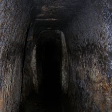
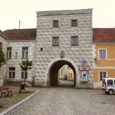
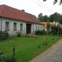
The settlement began in 1260 as a market village and later became a fortified town with underground drainage systems built beneath it. This early infrastructure allowed it to grow over time while keeping its core structure intact.

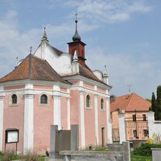
The town center displays medieval underground cellars and Renaissance buildings that shape how people see and experience the place. Walking through the streets, you notice how these old structures still guide the rhythm of daily life today.

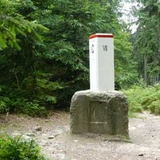
The town serves as the terminal station for the railway line from Havlíčkův Brod and has a road border crossing to Austria near Fratres. Being a small town, most places are within easy walking distance for visitors.

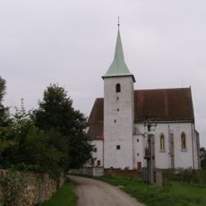
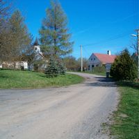
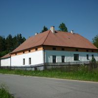
The village of Maříž, which is part of the municipality, transformed into a ceramics art center after communist rule ended. This place now attracts artists and visitors interested in hands-on craft techniques.

Location: Jindřichův Hradec District

Location: upravni občinski okoliš z razširjenimi pristojnostmi Dačice

Elevation above the sea: 512 m

Reference: CZ0313547166

Shares border with: Český Rudolec, Cizkrajov, Staré Město pod Landštejnem, Písečné

Email: sekretariat@slavonice-mesto.cz

Website: http://slavonice-mesto.cz

GPS coordinates: 48.99759,15.35155

Latest update: December 22, 2025 14:30

Photos
Around this place
Church of Saint John the Baptist
Czech Republic

Church of Saint John the Baptist

524 m
Church of the Corpus Christi
Czech Republic

Church of the Corpus Christi

1.1 km
Maříž Castle
Czech Republic

Maříž Castle

2.7 km
Chapel of Saint John of Nepomuk
Czech Republic

Chapel of Saint John of Nepomuk

143 m
Dobrohoř
Czech Republic

Dobrohoř

7.2 km
Underground water drainage system in Slavonice
Czech Republic

Underground water drainage system in Slavonice

36 m
Church of Our Lady of Sorrows
Czech Republic

Church of Our Lady of Sorrows

3.7 km
Bohemia–Moravia–Lower Austria tripoint
Austria

Bohemia–Moravia–Lower Austria tripoint

4.6 km
Church of the Assumption
Czech Republic

Church of the Assumption

87 m
Chapel of the Holy Cross
Czech Republic

Chapel of the Holy Cross

217 m
City walls of Slavonice
Czech Republic

City walls of Slavonice

121 m
Church of Saints Peter and Paul
Czech Republic

Church of Saints Peter and Paul

4.5 km
Stations of the Cross in Slavonice
Czech Republic

Stations of the Cross in Slavonice

1 km
Velký Troubný
Czech Republic

Velký Troubný

5.6 km
Jewish cemetery in Staré Město pod Landštejnem
Czech Republic

Jewish cemetery in Staré Město pod Landštejnem

7.3 km
Synagogue in Slavonice
Czech Republic

Synagogue in Slavonice

112 m
Jewish cemetery in Dolní Bolíkov
Czech Republic

Jewish cemetery in Dolní Bolíkov

4.1 km
Church of the Assumption (Staré Město pod Landštejnem)
Czech Republic

Church of the Assumption (Staré Město pod Landštejnem)

7.1 km
Lávka přes Slavonický potok u ulice Petra Bezruče ve Slavonicích
Czech Republic

Lávka přes Slavonický potok u ulice Petra Bezruče ve Slavonicích

237 m
Chapel in Dačická street (Slavonice)
Czech Republic

Chapel in Dačická street (Slavonice)

320 m
Ortskapelle Fratres
Austria

Ortskapelle Fratres

2.1 km
Most ulice Na potoku přes Slavonický potok v Slavonicích
Czech Republic

Most ulice Na potoku přes Slavonický potok v Slavonicích

190 m
Chapel Dobrá Voda (Slavonice)
Czech Republic

Chapel Dobrá Voda (Slavonice)

1.4 km
Most silnice II/406 přes Bolíkovský potok v Dolním Bolíkově
Czech Republic

Most silnice II/406 přes Bolíkovský potok v Dolním Bolíkově

4.7 km
Socha svatého Jana Evangelisty
Czech Republic

Socha svatého Jana Evangelisty

331 m
Socha svatého Jana Nepomuckého
Czech Republic

Socha svatého Jana Nepomuckého

4.5 km
Socha svatého Jana Nepomuckého
Czech Republic

Socha svatého Jana Nepomuckého

4.5 km
Chapel of Saint John of Nepomuk
Czech Republic

Chapel of Saint John of Nepomuk

7 km
Show the full map
Reviews

Visited this place? Tap the stars to rate it and share your experience / photos with the community! Try now! You can cancel it anytime.

« Slavonice - Renaissance town in Jindřichův Hradec District, Czech Republic » is provided by Around Us (aroundus.com). Images and texts are derived from Wikimedia project under a Creative Commons license. You are allowed to copy, distribute, and modify copies of this page, under the conditions set by the license, as long as this note is clearly visible.

Discover hidden gems everywhere you go!

From secret cafés to breathtaking viewpoints, skip the crowded tourist spots and find places that match your style. Our app makes it easy with voice search, smart filtering, route optimization, and insider tips from travelers worldwide. Download now for the complete mobile experience.

Around Us App Screenshot

A unique approach to discovering new places

Le Figaro

All the places worth exploring

France Info

A tailor-made excursion in just a few clicks

20 Minutes