
Vršky - Díly, protected area in Czech Republic
Location: Vsetín
Inception: March 10, 1999
GPS coordinates: 49.34090,18.00750
Latest update: April 7, 2025 15:50

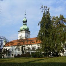
Vsetín Castle
584 m
Toleranzkirche (Vsetín)
867 m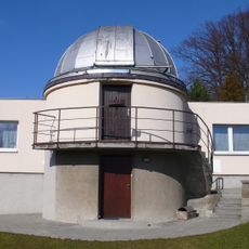
Observatory Vsetín
894 m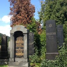
Jewish cemetery in Vsetín
949 m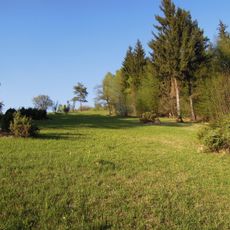
Ježůvka
928 m
Evangelická fara Dolního sboru
851 m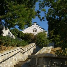
Fara horního evangelického sboru ve Vsetíně
898 m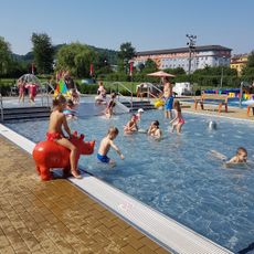
Koupaliště Vsetín
625 m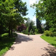
Panská zahrada
787 m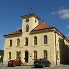
Old town hall
614 m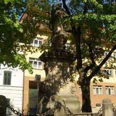
Socha svatého Jana Nepomuckého
653 m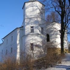
Church of the Assumption of the Virgin Mary
654 m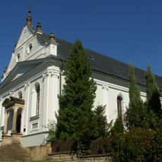
Evangelical church
935 m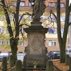
Socha Panny Marie
631 m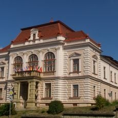
Nová radnice
588 m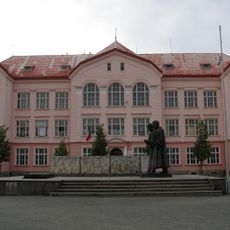
Pamětní kámen Osvobození
991 m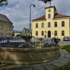
Fountain at Horní náměstí
624 m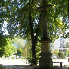
Krucifix
556 m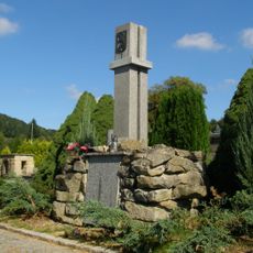
Hrob a památník československých vojáků a Rudé armády
854 m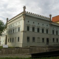
Maštaliska
683 m
Dům čp. 166
1 km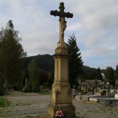
Krucifix
1 km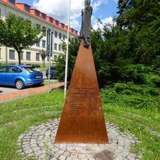
Pomník obětem komunismu ve Vsetíně
907 m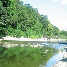
Lávka pod zámkem ve Vsetíně
712 m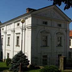
Fara
677 m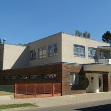
Mateřská škola a jesle
837 m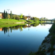
Štefánikův most
929 m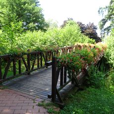
Footbridge in Panská zahrada
801 mReviews
Visited this place? Tap the stars to rate it and share your experience / photos with the community! Try now! You can cancel it anytime.
Discover hidden gems everywhere you go!
From secret cafés to breathtaking viewpoints, skip the crowded tourist spots and find places that match your style. Our app makes it easy with voice search, smart filtering, route optimization, and insider tips from travelers worldwide. Download now for the complete mobile experience.

A unique approach to discovering new places❞
— Le Figaro
All the places worth exploring❞
— France Info
A tailor-made excursion in just a few clicks❞
— 20 Minutes