Vsetín, District capital in Zlín Region, Czech Republic
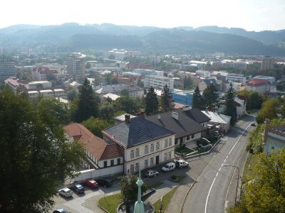
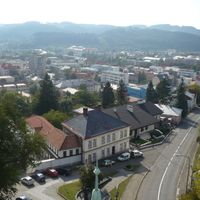
Vsetín is a town with city privileges in the Zlín Region, located in the valley of the Vsetínská Bečva River at about 342 meters elevation. It serves as an administrative center for the surrounding communities and district.
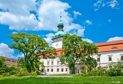
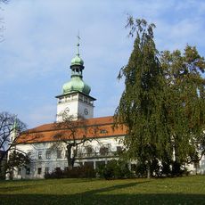
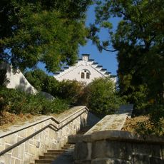
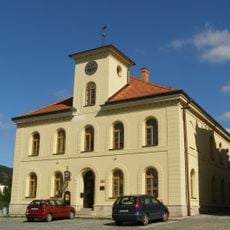
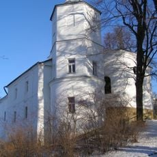
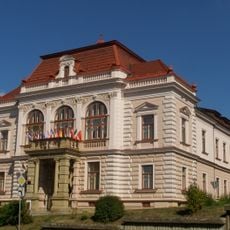
The first written record dates to 1297, when the Knights Templar built a defensive fortress to protect the settlement. It later became an important administrative center for the region.
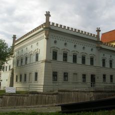
The Regional Museum in the castle shows exhibitions about local traditions and the furniture-making craft that shaped the region's identity for generations. Visitors can see how this industry influenced the way people lived and worked here.
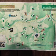
The town is easy to reach and offers good access for visitors who want to explore the museum and town center. Plan time to visit the castle and discover the surrounding area with its walking trails.
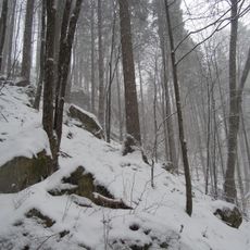
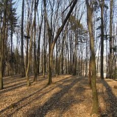
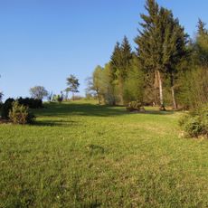
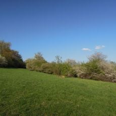
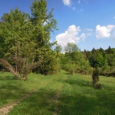
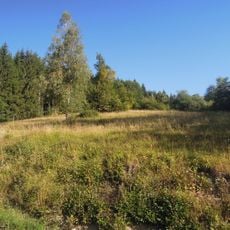
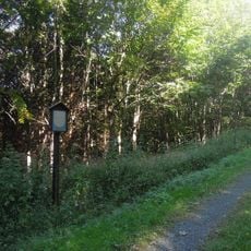
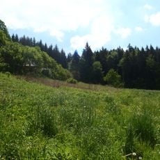
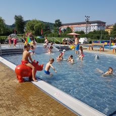
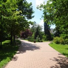
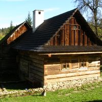
Forests cover much of the surrounding area, creating a green landscape that attracts those interested in walking and nature. Protected woodlands and nature reserves shape the environment around the town.
Location: Vsetín District
Location: správní obvod obce s rozšířenou působností Vsetín
Elevation above the sea: 342 m
Reference: CZ0723541630
Shares border with: Jablůnka, Halenkov, Ústí, Lhota u Vsetína, Janová, Ratiboř, Malá Bystřice, Růžďka
Email: posta@mestovsetin.cz
Website: http://mestovsetin.cz
GPS coordinates: 49.33870,17.99621
Latest update: December 20, 2025 14:03
Vsetín Castle
323 m
Naučná stezka Zapomenuté osudy
5.4 km
Toleranzkirche
316 m
Observatory Vsetín
616 m
Jewish cemetery in Vsetín
437 m
Křížový (natural monument)
4.5 km
Bečevná
1.3 km
Ježůvka
1.6 km
Evangelická fara Dolního sboru
341 m
Vršky - Díly
855 m
Růžděcký Vesník
4.4 km
Louka pod Rančem
4.3 km
Halvovský potok
7.1 km
Fara horního evangelického sboru ve Vsetíně
314 mMokřady Vesník
3.2 km
Semetín - luční prameniště
3.5 kmNad Jasenkou
2.9 km
Koupaliště Vsetín
439 m
Panská zahrada
91 m
Old town hall
375 m
Socha svatého Jana Nepomuckého
296 m
Church of the Assumption of the Virgin Mary
226 m
Socha svatého Jana Nepomuckého
3.1 km
Evangelical church
327 m
Socha Panny Marie
329 m
Obchodní dům
228 m
Nová radnice
382 m
Maštaliska
283 mVisited this place? Tap the stars to rate it and share your experience / photos with the community! Try now! You can cancel it anytime.
Discover hidden gems everywhere you go!
From secret cafés to breathtaking viewpoints, skip the crowded tourist spots and find places that match your style. Our app makes it easy with voice search, smart filtering, route optimization, and insider tips from travelers worldwide. Download now for the complete mobile experience.
A unique approach to discovering new places❞
— Le Figaro
All the places worth exploring❞
— France Info
A tailor-made excursion in just a few clicks❞
— 20 Minutes