
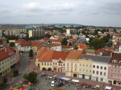
Vyškov-Předměstí, part of Vyškov
Location: Vyškov
Elevation above the sea: 254 m
GPS coordinates: 49.28310,17.00310
Latest update: March 15, 2025 03:52
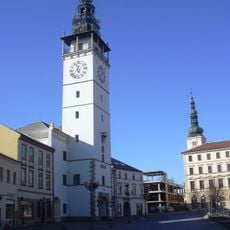
Town hall in Vyškov
694 m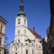
Church of the Assumption of the Virgin Mary
671 m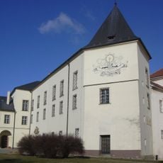
Vyškov Castle
860 m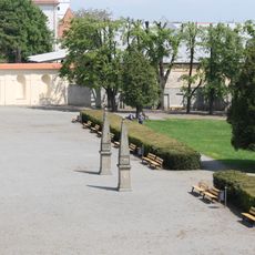
Zámecká zahrada in Vyškov
983 m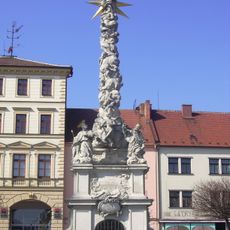
Maria column (Vyškov)
641 m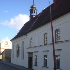
Hospital with chapel of Saint Anne (Vyškov)
359 m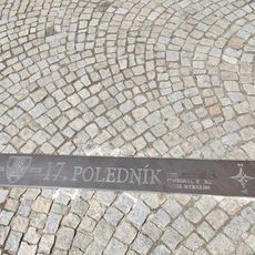
17th Meridian in Vyškov
660 m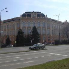
Budova ZŠ Nádražní 5
832 m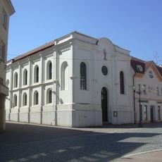
Hussite church
701 m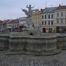
Fountain at Masarykovo náměstí
644 m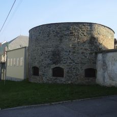
City walls of Vyškov
501 m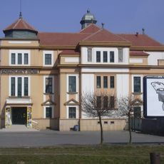
Sokolský dům
677 m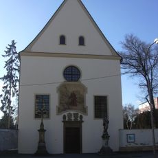
Cemetery church of the Virgin Mary in Vyškov
956 m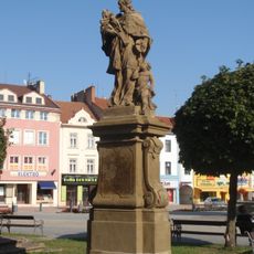
Statue of John of Nepomuk at Masarykovo náměstí
648 m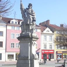
Statue of Saint Florian in Vyškov
634 m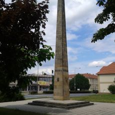
Pomník Rudé armády
1 km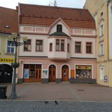
Dům čp. 43
585 m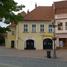
Dům čp. 42
580 m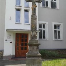
Krucifix
1.1 km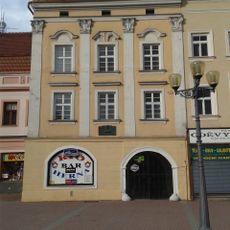
Dům čp. 44
593 m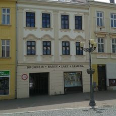
Dům čp. 82
688 m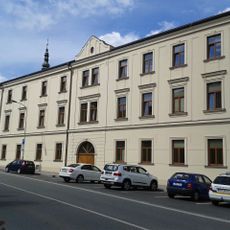
Dům čp. 112
764 m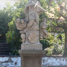
Sousoší svatého Jana Nepomuckého
466 m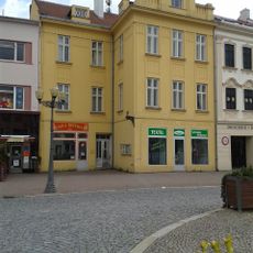
Dům čp. 81
692 m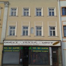
Dům čp. 45
597 m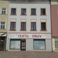
Dům čp. 46
602 m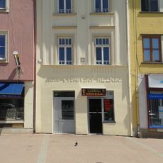
Dům čp. 48
615 m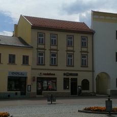
Dům u Kočích
695 mVisited this place? Tap the stars to rate it and share your experience / photos with the community! Try now! You can cancel it anytime.
Discover hidden gems everywhere you go!
From secret cafés to breathtaking viewpoints, skip the crowded tourist spots and find places that match your style. Our app makes it easy with voice search, smart filtering, route optimization, and insider tips from travelers worldwide. Download now for the complete mobile experience.

A unique approach to discovering new places❞
— Le Figaro
All the places worth exploring❞
— France Info
A tailor-made excursion in just a few clicks❞
— 20 Minutes