
Lhota, part of Vyškov
Location: Vyškov
Elevation above the sea: 350 m
GPS coordinates: 49.30970,16.95580
Latest update: March 3, 2025 22:33
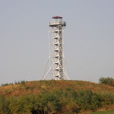
Chocholík
3.6 km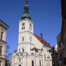
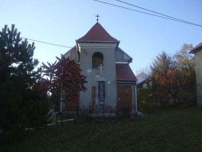
Church of the Assumption of the Virgin Mary
4.6 km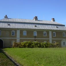
Troyerstein mansion
3.7 km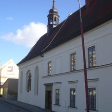
Hospital with chapel of Saint Anne (Vyškov)
4.6 km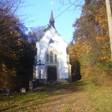
Strachotínka
1.1 km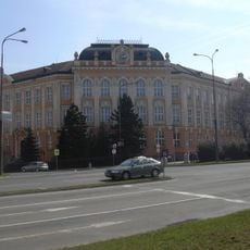
Budova ZŠ Nádražní 5
4.7 km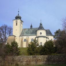
Church of Saint Lawrence
3.6 km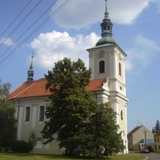
Kostel Nejsvětější Trojice
2.3 km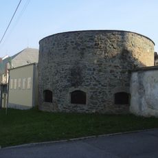
City walls of Vyškov
4.7 km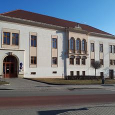
Drnovice Castle
3.7 km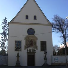
Cemetery church of the Virgin Mary in Vyškov
4.7 km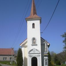
Chapel of the Virgin Mary of Vranov in Nosálovice
4.3 km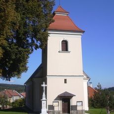
Church of the Assumption of the Virgin Mary in Rychtářov
3.4 km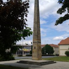
Pomník Rudé armády
4.6 km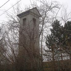
Boží muka
34 m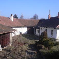
Rodný dům Klementa Gottwalda
2.7 km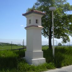
Boží muka
3.9 km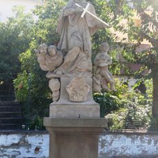
Sousoší svatého Jana Nepomuckého
4.7 km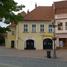
Dům čp. 42
4.7 km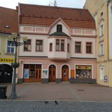
Dům čp. 43
4.7 km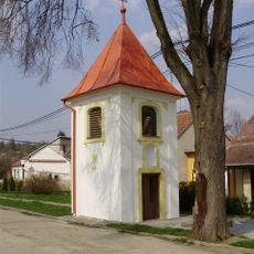
Zvonice s křížem
862 m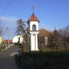
Boží muka
3.6 km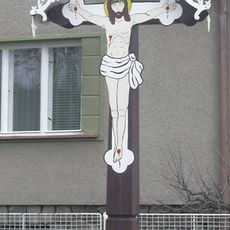
Krucifix
3.9 km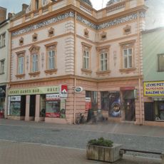
Dům čp. 24
4.7 km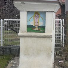
Boží muka
3.9 km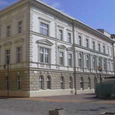
Civic House
4.7 km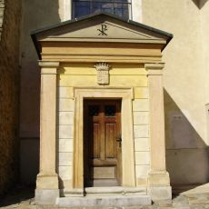
Mundy family vault, Drnovice u Vyškova
3.6 km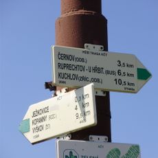
Rozcestník Ježkovice - točna, bus
4.7 kmVisited this place? Tap the stars to rate it and share your experience / photos with the community! Try now! You can cancel it anytime.
Discover hidden gems everywhere you go!
From secret cafés to breathtaking viewpoints, skip the crowded tourist spots and find places that match your style. Our app makes it easy with voice search, smart filtering, route optimization, and insider tips from travelers worldwide. Download now for the complete mobile experience.

A unique approach to discovering new places❞
— Le Figaro
All the places worth exploring❞
— France Info
A tailor-made excursion in just a few clicks❞
— 20 Minutes