
Losenice II, protected area in Czech Republic
Location: Červená (Kašperské Hory)
Inception: January 1, 2008
GPS coordinates: 49.11280,13.57420
Latest update: March 2, 2025 23:20
Giant Castle
1.6 km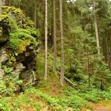
Amálino údolí
2.4 km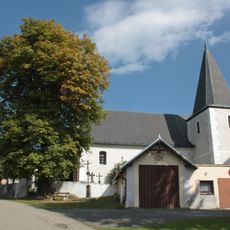
Church of Saint Martin in Nicov
3.6 km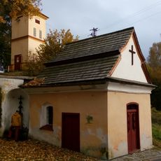
Kaple Panny Marie Klatovské
3.5 km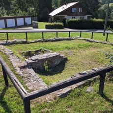
Středověká úpravna zlatých rud
3.4 km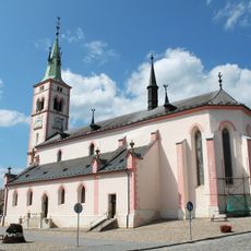
Church of Saint Margaret in Kašperské Hory
3.7 km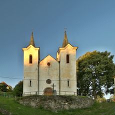
Church of Our Lady of the Snow
3.5 km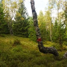
Pod Popelní horou
3.4 km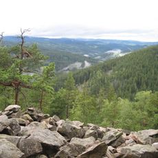
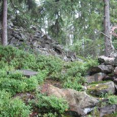
Obří hrad
1.6 km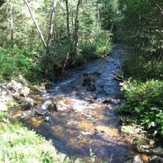
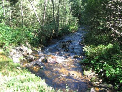
Losenice
354 m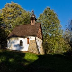
Chapel of Saint Barbara in Podlesí
1.6 km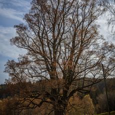
Lípa na Podlesí
1.5 km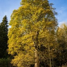
Javor klen na Podlesí
1.6 km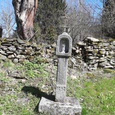
Boží muka
3.4 km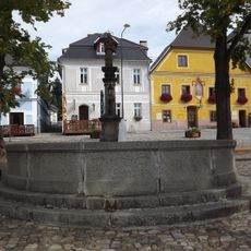
Statue of John of Nepomuk in Kašperské Hory
3.7 km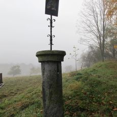
Pranýř
3.6 km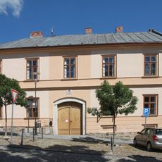
Rectory in Kašperské Hory
3.7 km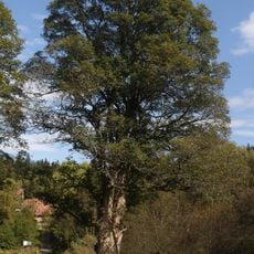
Klen u Popelné
2.5 km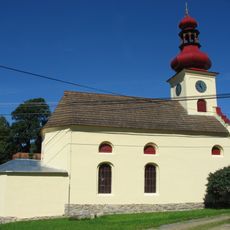
Mešní kaple Panny Marie
873 m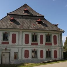
Fara
3.6 km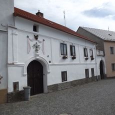
Dům čp. 17
3.7 km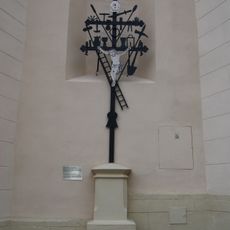
Kohoutí kříž from Nicov in Kašperské Hory
3.7 km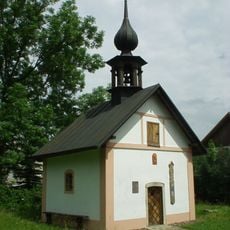
Chapel of Virgin Mary
3.3 km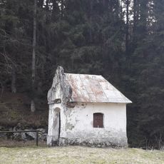
Kaple
817 m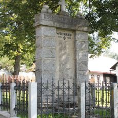
World War I memorial in Nicov
3.6 km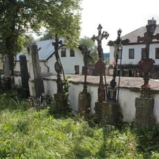
Cemetery in Nicov
3.6 km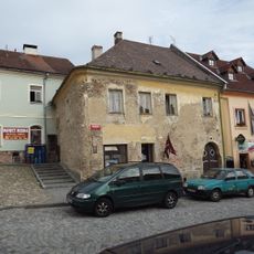
Dům čp. 36
3.6 km
Bajerov
1.2 kmReviews
Visited this place? Tap the stars to rate it and share your experience / photos with the community! Try now! You can cancel it anytime.
Discover hidden gems everywhere you go!
From secret cafés to breathtaking viewpoints, skip the crowded tourist spots and find places that match your style. Our app makes it easy with voice search, smart filtering, route optimization, and insider tips from travelers worldwide. Download now for the complete mobile experience.

A unique approach to discovering new places❞
— Le Figaro
All the places worth exploring❞
— France Info
A tailor-made excursion in just a few clicks❞
— 20 Minutes