Enable Location

We need your location to show you interesting places around you

Discover nearby places

Find interesting locations and hidden gems around you

Precise directions

Get accurate directions and distances to places

Your location is never shared with other users. It's only used when you tap the location button.

Log in to your account

Start exploring — it's free

Trusted by 61,413 travelers worldwide

Continue with Google
Continue with Apple
or

We will send you a code to connect

By continuing, you accept our Terms and Conditions and our Privacy Policy

Check your inbox

We've sent a pincode in your inbox. Please enter the code below.

Správní obvod obce s rozšířenou působností Brandýs nad Labem-Stará Boleslav

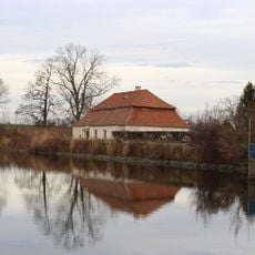
Správní obvod obce s rozšířenou působností Brandýs nad Labem-Stará Boleslav, Administrative district in Prague-East, Czech Republic

Description

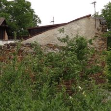
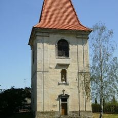
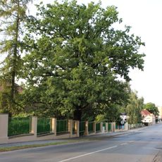
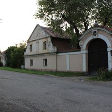
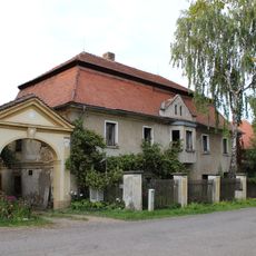
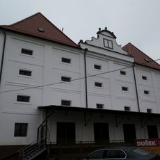
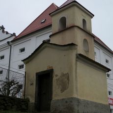
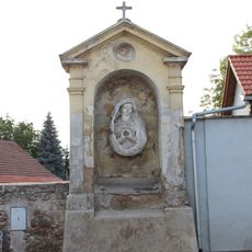
The Brandýs nad Labem-Stará Boleslav administrative district comprises a cluster of towns and villages north of Prague, encompassing multiple cadastral territories across a wide area. This territorial unit includes both urban centers and rural settlements that operate under a shared regional governance structure.

History

The district was created in 2003 following a major restructuring of Czech municipal administration. This reform reorganized regional governance to improve management of local communities.

Culture

The district maintains municipal offices in two locations, providing administrative services to a population of 123,026 residents across diverse communities.

Practical

The district operates service offices in several towns where residents can access administrative services. It helps to identify which office serves your specific area.

Did you know?

The territory contains four authorized municipal offices located in Brandýs nad Labem-Stará Boleslav, Čelákovice, Odolena Voda, and Úvaly.

Inception
January 1, 2003
Capital city
Brandýs nad Labem-Stará Boleslav
GPS coordinates
50.16667,14.65000
Latest update
December 14, 2025 13:03

AroundUs brings together thousands of curated places, local tips, and hidden gems, enriched daily by 60,000 contributors worldwide. Discover all places nearby (Prague-East District).

Around this place
Church of Saint Bartholomew in Dřevčice
Czech Republic

Church of Saint Bartholomew in Dřevčice

1.5 km
Tvrz
Czech Republic

Tvrz

1.4 km
Ostrov u Záp 141
Czech Republic

Ostrov u Záp 141

1.9 km
Bell tower
Czech Republic

Bell tower

1.3 km
Kaplička ve středu Dřevčic u zastávky autobusů
Czech Republic

Kaplička ve středu Dřevčic u zastávky autobusů

1.5 km
Brána domu čp. 1003
Czech Republic

Brána domu čp. 1003

1.3 km
Dub v mateřské škole Pražská
Czech Republic

Dub v mateřské škole Pražská

1.7 km
Dřevčice 28
Czech Republic

Dřevčice 28

1.4 km
Krucifix
Czech Republic

Krucifix

1.6 km
Dřevčice 29
Czech Republic

Dřevčice 29

1.4 km
Sýpka
Czech Republic

Sýpka

1.3 km
Kříž
Czech Republic

Kříž

1.5 km
Jasan u nádraží Brandýs nad Labem
Czech Republic

Jasan u nádraží Brandýs nad Labem

1.9 km
Krucifix
Czech Republic

Krucifix

1.3 km
Vartenská kaple
Czech Republic

Vartenská kaple

1.4 km
Kaple se zvonicí
Czech Republic

Kaple se zvonicí

1.3 km
Dřevčická alej
Czech Republic

Dřevčická alej

1.2 km
Melicharův dub
Czech Republic

Melicharův dub

1.7 km
Vyšehradská kaple poutní cesty Via Sancta v Pražské ulici v Brandýse nad Labem
Czech Republic

Vyšehradská kaple poutní cesty Via Sancta v Pražské ulici v Brandýse nad Labem

1.8 km
Hrušovský mlýn
Czech Republic

Hrušovský mlýn

1.8 km
Šternberská kaple poutní cesty Via Sancta ve středu Dřevčic
Czech Republic

Šternberská kaple poutní cesty Via Sancta ve středu Dřevčic

1.4 km
Kaplička u Hrušovského rybníka v Brandýse nad Labem
Czech Republic

Kaplička u Hrušovského rybníka v Brandýse nad Labem

1.8 km
Památník Dr. Tyrše u zvonice na východním okraji Dřevčic
Czech Republic

Památník Dr. Tyrše u zvonice na východním okraji Dřevčic

1.3 km
Kaple Svaté cesty na západním okraji Dřevčic
Czech Republic

Kaple Svaté cesty na západním okraji Dřevčic

1.8 km
Boží muka u silnice na západním okraji Dřevčic
Czech Republic

Boží muka u silnice na západním okraji Dřevčic

1.8 km
Boží muka v parčíku u Výletní ulice v Brandýse nad Labem
Czech Republic

Boží muka v parčíku u Výletní ulice v Brandýse nad Labem

1.6 km
Hřbitov Dřevčice
Czech Republic

Hřbitov Dřevčice

1.2 km
Pomník padlým z místní části Vrábí u Pražské ulice v Brandýse nad Labem
Czech Republic

Pomník padlým z místní části Vrábí u Pražské ulice v Brandýse nad Labem

1.4 km
Show the full map
« Správní obvod obce s rozšířenou působností Brandýs nad Labem-Stará Boleslav - Administrative district in Prague-East, Czech Republic » is provided by Around Us (aroundus.com). Images and texts are derived from Wikimedia project under a Creative Commons license. You are allowed to copy, distribute, and modify copies of this page, under the conditions set by the license, as long as this note is clearly visible.

Discover hidden gems everywhere you go!

From secret cafés to breathtaking viewpoints, skip the crowded tourist spots and find places that match your style. Our app makes it easy with voice search, smart filtering, route optimization, and insider tips from travelers worldwide. Download now for the complete mobile experience.

Around Us App Screenshot

A unique approach to discovering new places

Le Figaro

All the places worth exploring

France Info

A tailor-made excursion in just a few clicks

20 Minutes

Around Us
Travel Guide & Maps
Download

Send to your phone

QR Code
1

Open the camera app on your mobile.

2

Point at the QR code with your camera. A notification will appear.

3

Tap the notification to open the link.