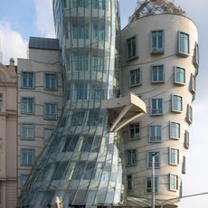
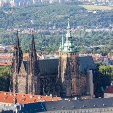
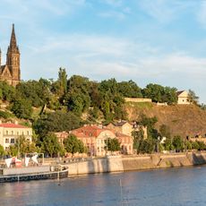
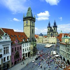
Prague-East District, Administrative district in Central Bohemian Region, Czech Republic.
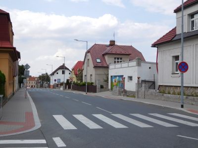
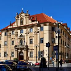
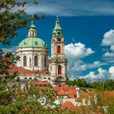
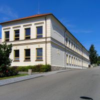
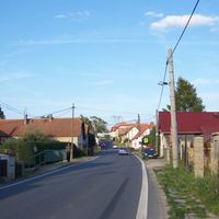
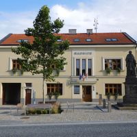
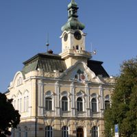
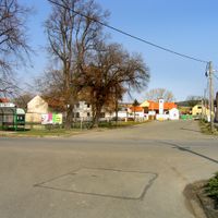
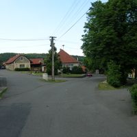
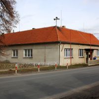
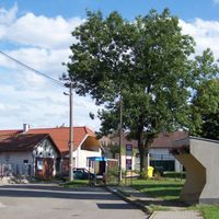
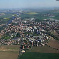
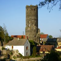
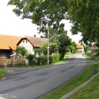
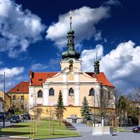
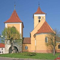
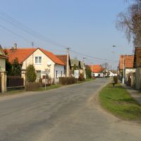
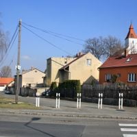
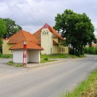
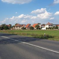
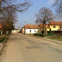
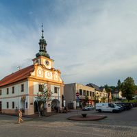
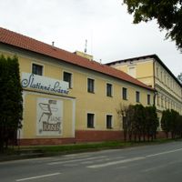
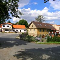
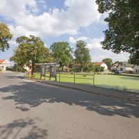
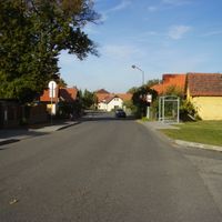
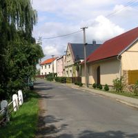
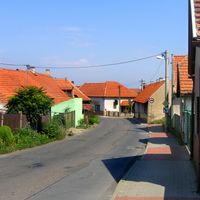
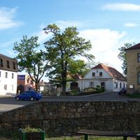
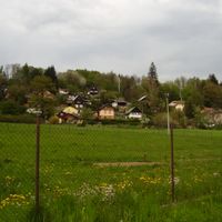
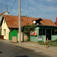
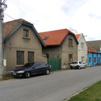
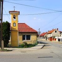
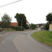
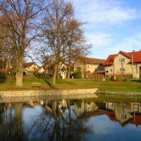
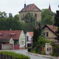
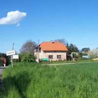
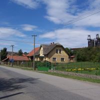
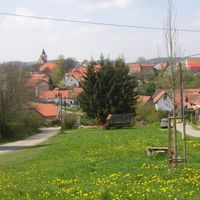
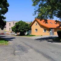
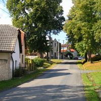
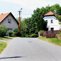
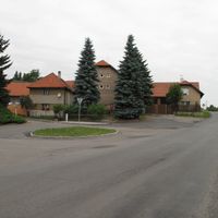
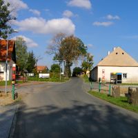
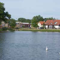
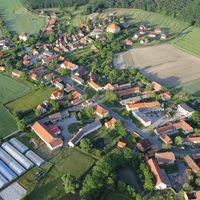
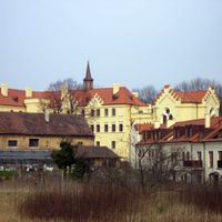
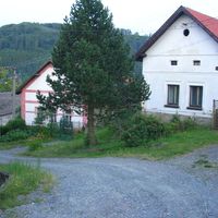
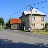
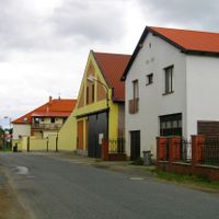
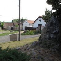
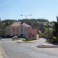
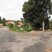
Prague-East District covers several municipalities east of Prague, including Říčany, Čelákovice, and Brandýs nad Labem-Stará Boleslav, forming a sprawling residential belt with mixed residential and commercial areas. The individual towns are connected by roads and local routes, showing a mix of older village centers and newer residential developments.
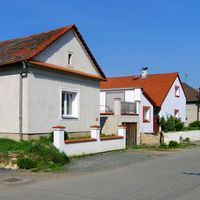
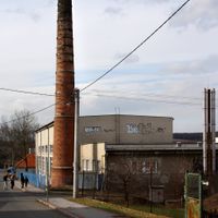
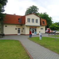
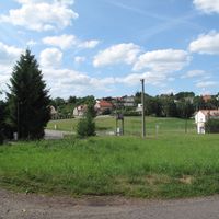
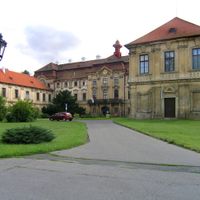
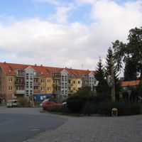
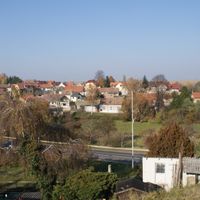
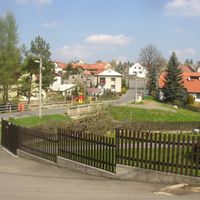
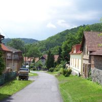
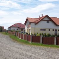
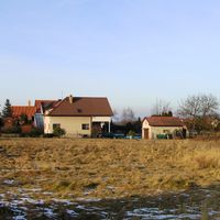
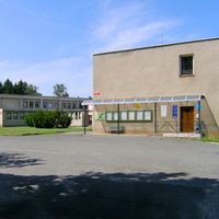
The district grew as a residential area around Prague during the 20th century, with many communities experiencing significant expansion after 1990. Rapid construction in recent decades transformed the landscape from rural character to a modern suburban ring.
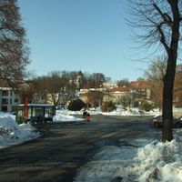
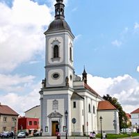
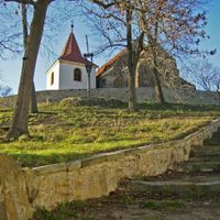
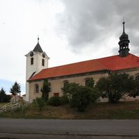
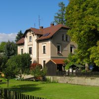
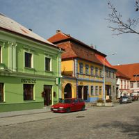
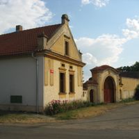
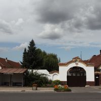
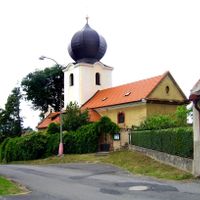
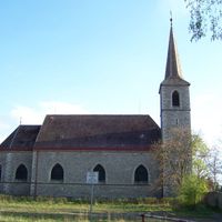
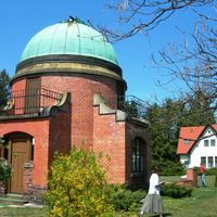
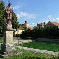
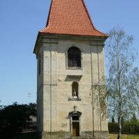
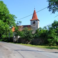
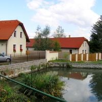
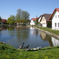
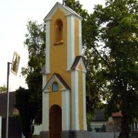
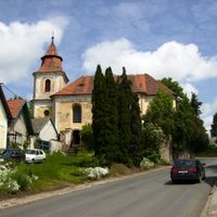
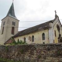
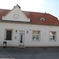
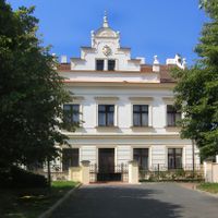
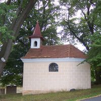
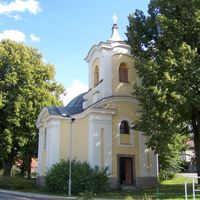
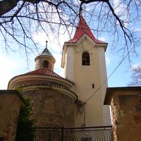
Each municipality here maintains its own traditions and regularly celebrates local festivals and markets that reflect Czech village life. Visitors can see signs of these community gatherings throughout the region, especially during seasonal fairs and celebrations.
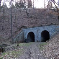
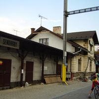
The district has an extensive transportation network with bus connections and train lines linking the municipalities to each other and to Prague. Since it covers a large area with many separate towns, exploring by car or public transport makes sense to move between different places.
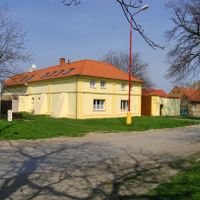
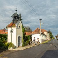
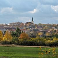
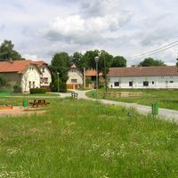
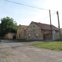
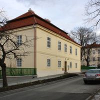
The district is administratively complex, comprising around 110 independent municipalities, making it one of the most fragmented administrative units in Central Bohemia. This large number of smaller towns means each community has kept its own character and infrastructure rather than merging into a single suburban development.
The community of curious travelers
AroundUs brings together thousands of curated places, local tips, and hidden gems, enriched daily by 60,000 contributors worldwide.