Chest opened
+${chestReward.xp} XP
Explorer
NOUVEAU ×${chestReward.collectible.quantity}
tapez pour fermer
Chest locked

Open chests in the app

Around Us is built for your phone — chests unlock when you walk, explore and capture nearby places.

Enable Location

We need your location to show you interesting places around you

Discover nearby places

Find interesting locations and hidden gems around you

Precise directions

Get accurate directions and distances to places

Your location is never shared with other users. It's only used when you tap the location button.

Log in to your account

Start exploring — it's free

Trusted by 72,882 travelers worldwide

Continue with Google
Continue with Apple
or

We will send you a code to connect

By continuing, you accept our Terms and Conditions and our Privacy Policy

Check your inbox

We've sent a pincode in your inbox. Please enter the code below.

Nakléřovský průsmyk
Discussion Reviews Photo
1.3k Popularity

Nakléřovský průsmyk, Mountain saddle in Petrovice, Czech Republic.

Nakléřovský průsmyk is a mountain saddle in northern Czech Republic situated at around 679 meters elevation that creates a natural passage through the ridge. The pass connects valleys on either side and allows walkers to cross between the slopes of the Ore Mountains.

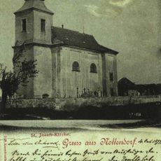
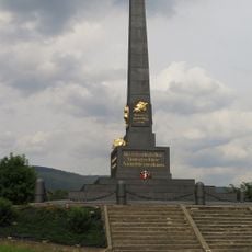
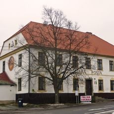
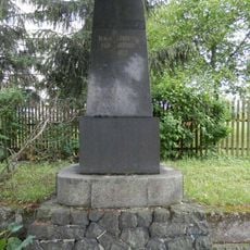
The pass has long served as a key transit point between different regions and was regularly used by merchants and travelers over the centuries. Its strategic position in the Ore Mountains made it an essential link in the area's trade history.

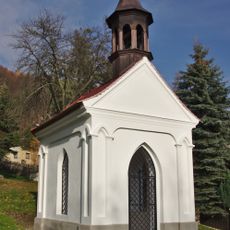
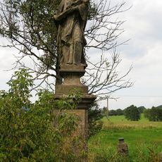
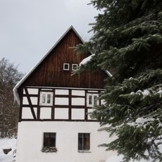
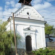
The mountain pass remains integral to local community traditions, with residents maintaining hiking paths and organizing nature observation activities throughout different seasons.

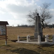
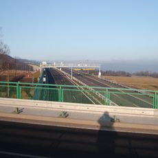
The saddle is accessible via marked trails that start from Petrovice and offer good orientation throughout the walk. Visitors should prepare for changing mountain weather and plan their outing according to daylight hours.

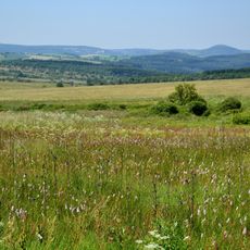
The pass displays distinct vegetation zones with different plant species according to elevation changes. This visible sequence of habitats gives visitors a practical look at how altitude affects nature.

The community of curious travelers

AroundUs brings together thousands of curated places, local tips, and hidden gems, enriched daily by 60,000 contributors worldwide.

Start exploring
Location
Elevation above the sea
679 m
GPS coordinates
50.74333,13.97833
Latest update
December 14, 2025 18:11
Around this place
Ústecká hvězdárna
Czech Republic

Ústecká hvězdárna

2.1 km
Church of Saint Joseph
Czech Republic

Church of Saint Joseph

42 m
Kaple Panny Marie
Czech Republic

Kaple Panny Marie

1.5 km
Chapel of Saint Mary
Czech Republic

Chapel of Saint Mary

2.3 km
Římskokatolická farnost Nakléřov
Czech Republic

Římskokatolická farnost Nakléřov

42 m
Kaple
Czech Republic

Kaple

2.4 km
Nakléřovská hornatina
Czech Republic

Nakléřovská hornatina

266 m
Starý most silnice II/528 přes železniční trať u Žďárku
Czech Republic

Starý most silnice II/528 přes železniční trať u Žďárku

3.4 km
Kleist Memorial
Czech Republic

Kleist Memorial

9 m
Austrian monument to the Battle of Kulm in Varvažov
Czech Republic

Austrian monument to the Battle of Kulm in Varvažov

3.7 km
Socha svatého Jana Nepomuckého
Czech Republic

Socha svatého Jana Nepomuckého

3.7 km
Krucifix
Czech Republic

Krucifix

541 m
Most silnice III/25362h přes dálnici D8
Czech Republic

Most silnice III/25362h přes dálnici D8

2.4 km
Boží muka u kaple v Knínici
Czech Republic

Boží muka u kaple v Knínici

1.8 km
Čtyři smírčí kříže
Czech Republic

Čtyři smírčí kříže

1.8 km
Stará pošta Telnice
Czech Republic

Stará pošta Telnice

3.8 km
Pomník bojovníků za vlast v Telnici
Czech Republic

Pomník bojovníků za vlast v Telnici

2.2 km
D8 Knínice Motorway Bridge
Czech Republic

D8 Knínice Motorway Bridge

2.2 km
Dům čp. 34
Czech Republic

Dům čp. 34

2.5 km
Pomník padlým v Telnici
Czech Republic

Pomník padlým v Telnici

1.9 km
Most silnice III/2487 přes dálnici D8 u Krásného Lesa
Czech Republic

Most silnice III/2487 přes dálnici D8 u Krásného Lesa

3.7 km
Kříž u silnice z Knínic na Nakléřov
Czech Republic

Kříž u silnice z Knínic na Nakléřov

1.4 km
Pomník padlým v Knínicích u Libouchce
Czech Republic

Pomník padlým v Knínicích u Libouchce

1.8 km
Pomník padlým ve Žďáru
Czech Republic

Pomník padlým ve Žďáru

3.5 km
Kaplička v Knínicích u Libouchce
Czech Republic

Kaplička v Knínicích u Libouchce

1.8 km
Kříž u cesty v západní části Libouchce
Czech Republic

Kříž u cesty v západní části Libouchce

2.3 km
Nový most silnice II/528 přes železniční trať u Žďárku
Czech Republic

Nový most silnice II/528 přes železniční trať u Žďárku

3.4 km
Podstavec vylomeného kříže na rozcestí v osadě Panenská
Czech Republic

Podstavec vylomeného kříže na rozcestí v osadě Panenská

1.8 km
Show the full map
Reviews
Share your experience

No review yet

Discussions
Start a discussion...

No discussion yet

« Nakléřovský průsmyk - Mountain saddle in Petrovice, Czech Republic » is provided by Around Us (aroundus.com). Images and texts are derived from Wikimedia project under a Creative Commons license. You are allowed to copy, distribute, and modify copies of this page, under the conditions set by the license, as long as this note is clearly visible.

Discover hidden gems everywhere you go!

From secret cafés to breathtaking viewpoints, skip the crowded tourist spots and find places that match your style. Our app makes it easy with voice search, smart filtering, route optimization, and insider tips from travelers worldwide. Download now for the complete mobile experience.

Around Us App Screenshot

A unique approach to discovering new places

Le Figaro

All the places worth exploring

France Info

A tailor-made excursion in just a few clicks

20 Minutes

Around Us
Travel Guide & Maps
Download

Send to your phone

QR Code
1

Open the camera app on your mobile.

2

Point at the QR code with your camera. A notification will appear.

3

Tap the notification to open the link.