Czech Crater, Geological crater in Northern Czech Republic
Czech Crater is a geological depression in northern Czech Republic identified through satellite imagery and seismic data as a circular structure. The basin lies beneath the Czech Massif and displays features typical of impact formations.
The structure was proposed in 1989 by Michael Papagiannis and Farouk El-Baz who analyzed satellite images of Central Europe. Later seismic surveys confirmed a conical depression beneath the region.
The crater's name reflects its location within Czech territory, and it has become central to how geologists understand the region's geological composition. Local museums now present research findings about impact craters and their effects on ancient landscapes.
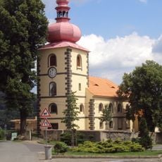
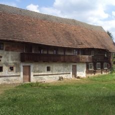
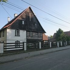
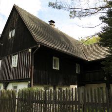
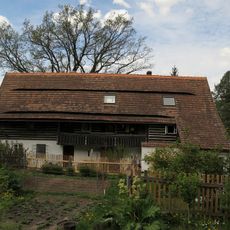
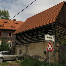
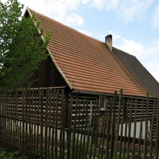
The area can be visited from several points with accessible parking and information centers available. Geological maps and guided tours help visitors understand the underground structure and its effects on the local landscape.
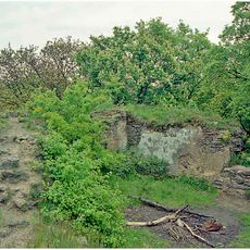
The conical depression was discovered through seismic measurements and lies hidden beneath the land surface, making it invisible to visitors. This hidden nature makes it one of the less known sites in the region, even though it holds scientific importance.
The community of curious travelers
AroundUs brings together thousands of curated places, local tips, and hidden gems, enriched daily by 60,000 contributors worldwide.