Chest opened
+${chestReward.xp} XP
Explorer
NOUVEAU ×${chestReward.collectible.quantity}
tapez pour fermer

See the monuments around you in AR Open chests in the app

Around Us is built for your phone — point your camera at the streets and discover the monuments and places around you in augmented reality. Around Us is built for your phone — chests unlock when you walk, explore and capture nearby places.

•

Enable Location

We need your location to show you interesting places around you

Discover nearby places

Find interesting locations and hidden gems around you

Precise directions

Get accurate directions and distances to places

Your location is never shared with other users. It's only used when you tap the location button.

Tábor

Log in to your account

Start exploring — it's free

Trusted by 94,487 travelers worldwide

Continue with Google
Continue with Apple
or

We will send you a code to connect

By continuing, you accept our Terms and Conditions and our Privacy Policy

Check your inbox

We've sent a pincode in your inbox. Please enter the code below.

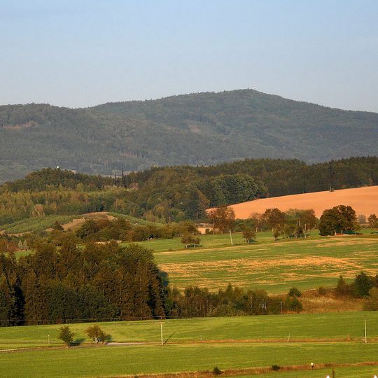
Tábor, Mountain summit in the Ještěd–Kozákov Ridge, Czech Republic

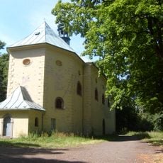
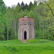
Tábor is a 683 m summit in the Ještědsko-kozákovský hřbet range, 3 km south of Lomnice nad Popelkou. Its top is built of Permian basaltic andesite (melaphyre), with Carboniferous and Permian conglomerates, arkoses, sandstones and claystones on the slopes. A Baroque Church of the Transfiguration from 1704 and the Tichánek lookout tower stand on the summit.

The hill was originally called Chlum; the name Tábor comes from Hussite-era popular assemblies held here. A Baroque Church of the Transfiguration was built on the summit in 1704, and in 1911 the brick lookout tower organized by Josef Tichánek opened.

The hill was originally called Chlum; the name Tábor comes from the Hussite-era popular assemblies held here. It is a long-standing pilgrimage site, with the baroque Church of the Transfiguration built in 1704 and a Stations of the Cross on the summit.

Marked hiking trails connect the nearby town of Lomnice nad Popelkou to the summit. Parking is available at the trailhead, and the hike is suitable for people with basic outdoor fitness.

The summit rock is basalt andesite (melaphyre), not sandstone; the surrounding slopes are Carboniferous and Permian conglomerates, arkoses, sandstones and claystones. In the saddle between Tábor and the neighbouring Ředice hill rises the river Cidlina. The 35 m brick lookout tower of 1911 was organised by Josef Tichánek, grandfather of actress Věra Tichánková.

The community of curious travelers

AroundUs brings together thousands of curated places, local tips, and hidden gems, enriched daily by 94,487 contributors worldwide.
Start exploring
GPS coordinates
50.50936,15.36735
Latest update
October 21, 2026 21:40
Around this place
Alain Tower
Czech Republic

Alain Tower

0.5 mi
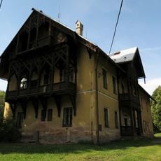
Hunting lodge Lomnice nad Popelkou
Czech Republic

Hunting lodge Lomnice nad Popelkou

0.8 mi
Jezírko pod Táborem
Czech Republic

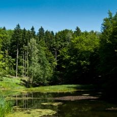
Jezírko pod Táborem

0.7 mi
Alainův kříž
Czech Republic

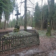
Alainův kříž

0.6 mi
Stations of the Cross to the Tábor hill
Czech Republic

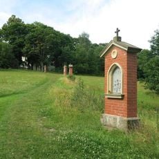
Stations of the Cross to the Tábor hill

170 ft
Kostel Proměnění Páně na hoře Tábor
Czech Republic

Kostel Proměnění Páně na hoře Tábor

60 ft
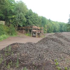
Doubravice quarry
Czech Republic

Doubravice quarry

1.1 mi
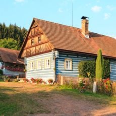
Usedlost čp. 8
Czech Republic

Usedlost čp. 8

1.2 mi
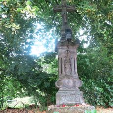
Crucifix in Kyje
Czech Republic

Crucifix in Kyje

1.2 mi
Kamenný kříž
Czech Republic

Kamenný kříž

0.8 mi
Sousoší Korunování Panny Marie
Czech Republic

Sousoší Korunování Panny Marie

0.4 mi
Kříž u cesty v Hoření Lomnici
Czech Republic

Kříž u cesty v Hoření Lomnici

1.1 mi
Kaplička se sousoším Piety
Czech Republic

Kaplička se sousoším Piety

1.1 mi
Lípa pod Táborem
Czech Republic

Lípa pod Táborem

0.3 mi
Kamenný kříž v severní částu Kyjů u Jičína
Czech Republic

Kamenný kříž v severní částu Kyjů u Jičína

0.8 mi
Jilm pod křížovou cestou
Czech Republic

Jilm pod křížovou cestou

0.3 mi
Bell tower in Ploužnice
Czech Republic

Bell tower in Ploužnice

0.7 mi
Boží muka v severní části Kyjů u Jičína
Czech Republic

Boží muka v severní části Kyjů u Jičína

0.9 mi
Kaplička naproti domu 19 v Kyjích u Jičína
Czech Republic

Kaplička naproti domu 19 v Kyjích u Jičína

1.1 mi
Kamenný kříž u obecního úřadu v Kyjích u Jičína
Czech Republic

Kamenný kříž u obecního úřadu v Kyjích u Jičína

1.2 mi
Kříž na hoře Tábor nad osadou Chlum
Czech Republic

Kříž na hoře Tábor nad osadou Chlum

170 ft
Křížový kámen u silnice jižně od Lomnice nad Popelkou
Czech Republic

Křížový kámen u silnice jižně od Lomnice nad Popelkou

0.9 mi
Výklenková kaple v Ploužnici
Czech Republic

Výklenková kaple v Ploužnici

0.7 mi
Pomník padlým v 1.světové válce v Ploužnici
Czech Republic

Pomník padlým v 1.světové válce v Ploužnici

0.8 mi
Kříž na rozcestí v Košově
Czech Republic

Kříž na rozcestí v Košově

0.9 mi
Kaplička u pramene Křížovka
Czech Republic

Kaplička u pramene Křížovka

0.2 mi
Cross in Ploužnice
Czech Republic

Cross in Ploužnice

0.9 mi
Křížový kámen u silnice z Košova do Peklovsi
Czech Republic

Křížový kámen u silnice z Košova do Peklovsi

1 mi
Show the full map
Reviews
Share your experience

No review yet

Discussions
Start a discussion...

No discussion yet

« Tábor - Mountain summit in the Ještěd–Kozákov Ridge, Czech Republic » is provided by Around Us (aroundus.com). Images and texts are derived from Wikimedia project under a Creative Commons license. You are allowed to copy, distribute, and modify copies of this page, under the conditions set by the license, as long as this note is clearly visible.

Discover hidden gems everywhere you go!

From secret cafés to breathtaking viewpoints, skip the crowded tourist spots and find places that match your style. Our app makes it easy with voice search, smart filtering, route optimization, and insider tips from travelers worldwide. Download now for the complete mobile experience.
Around Us App Screenshot
❝

A unique approach to discovering new places❞

— Le Figaro

❝

All the places worth exploring❞

— France Info

❝

A tailor-made excursion in just a few clicks❞

— 20 Minutes

Around Us
Travel Guide & Maps
Download

Send to your phone

QR Code
1

Open the camera app on your mobile.

2

Point at the QR code with your camera. A notification will appear.

3

Tap the notification to open the link.