
Studánky, part of Vyšší Brod in Český Krumlov District of South Bohemian Region
Location: Vyšší Brod
Elevation above the sea: 679 m
GPS coordinates: 48.58970,14.32580
Latest update: March 3, 2025 07:53


Maria Rast am Stein
3.1 km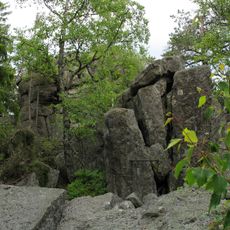
Naturpark Hohenfurth
2.7 km
Church of Saint Bartholomew
2.9 km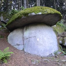
Pilzstein
4.1 km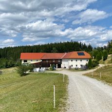
Ablege
4.2 km
Marks
3.9 km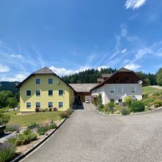
Schwarzbauer
4.3 km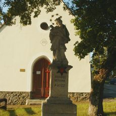
Socha svatého Jana Nepomuckého
90 m
Dům čp. 62
2.9 km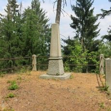
Obelisk Fridricha Nitsche na severním svahu Martínkovského vrchu
2.5 km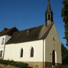
Chapel of Our Savior in Studánky
71 m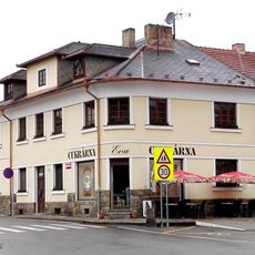
Dům čp. 61
2.9 km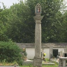
Boží muka na hřbitově ve Vyšším Brodě
2.9 km
Boží muka
3.1 km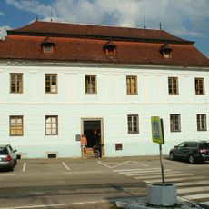
Dům čp. 45
2.9 km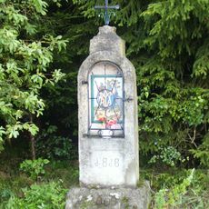
Chapel shrine in Dolní Drkolná
1.9 km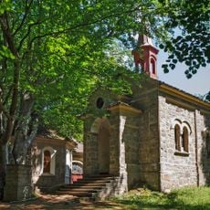
Chapel of Our Lady of the Snow
3.1 km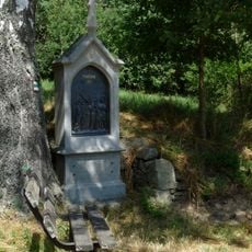
Kapličky křížové cesty z Vyššího Brodu
3.1 km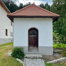
Kapelle bei Affetschlag 1
3.7 km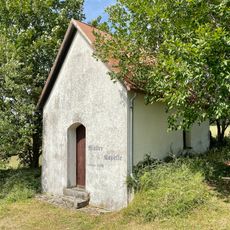
Müllerkapelle
4.2 km
Hof Dürnau 2
4.3 km
Kapelle Weigetschlag
3.8 km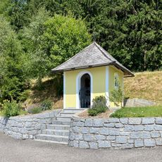
Schwarzbauer-Kapelle
4.3 km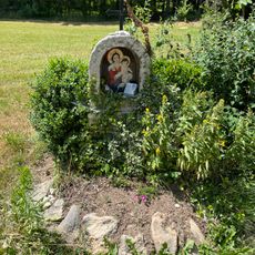
Marterl in Silberhartschlag
4.1 km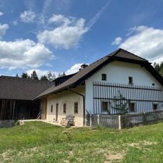
Hof Silberhartschlag 6
4.3 km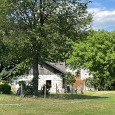
Hof Silberhartschlag 3
4.1 km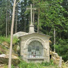
Kaple Božího Hrobu na konci křížové cesty z Vyššího Brodu
3.1 km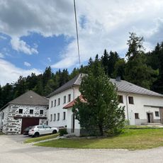
Hof Affetschlag 1
3.7 kmReviews
Visited this place? Tap the stars to rate it and share your experience / photos with the community! Try now! You can cancel it anytime.
Discover hidden gems everywhere you go!
From secret cafés to breathtaking viewpoints, skip the crowded tourist spots and find places that match your style. Our app makes it easy with voice search, smart filtering, route optimization, and insider tips from travelers worldwide. Download now for the complete mobile experience.

A unique approach to discovering new places❞
— Le Figaro
All the places worth exploring❞
— France Info
A tailor-made excursion in just a few clicks❞
— 20 Minutes