
Naturpark Hohenfurth
Location: Jihočeský kraj
Website: https://wiki.openstreetmap.org/wiki/Cs:P%C5%99%C3%ADrodn%C3%AD_parky_v_%C4%8Cesku
GPS coordinates: 48.59235,14.28973
Latest update: March 6, 2025 10:18
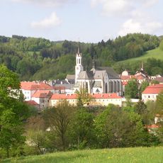
Vyšší Brod Cistercian Abbey
3.4 km
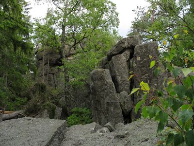
Sternstein
4 km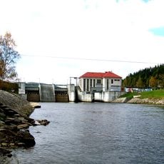
Lipno II Reservoir
3.9 km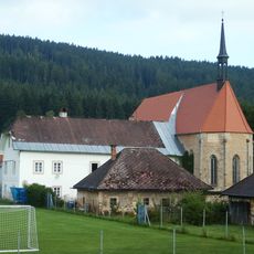
Church of Saint Ulrich
4.5 km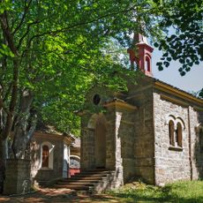
Maria Rast am Stein
1.8 km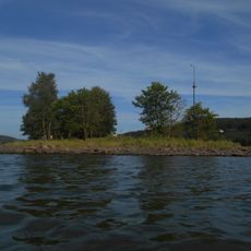
Králičí ostrov
7.3 km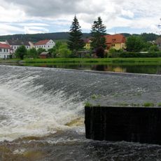
Weir in Vyšší Brod
3.5 km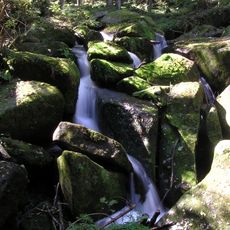
Vodopády svatého Wolfganga
2.4 km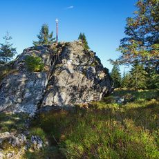
Bärenberg
5.6 km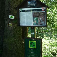
Opatská stezka
3.5 km
Rašeliniště Kapličky
5.2 km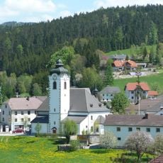
Sankt Peter und Paul
6.9 km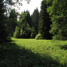
Spáleniště
8.8 km
Church of Saint Bartholomew
2.9 km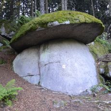
Pilzstein
3.3 km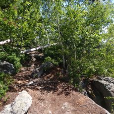
Medvědí hora
5.6 km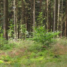
Uhlířský vrch
3.5 km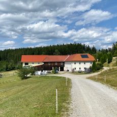
Ablege
3.2 km
Loučovice
4 km
Marks
2.3 km
Schwarzbauer
3.9 km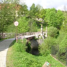
Starý most přes Vltavu ve Vyšším Brodě
3.5 km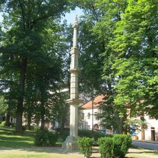
Pranýř a kašna ve Vyšším Brodě
3.1 km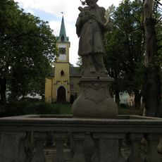
Statue of Saint John of Nepomuk on the square in Vyšší Brod
3 km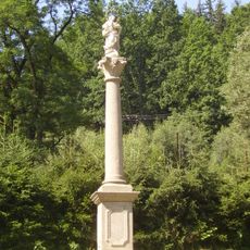
Maria column in Vyšší Brod
3.5 km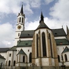
Mary Assumption church in the monastery of Vyšší Brod
3.4 km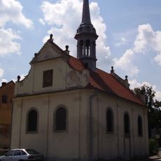
Chapel of Saint Joseph in Vyšší Brod
3.4 km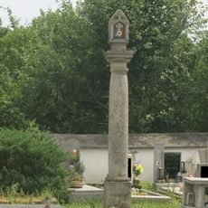
Troje Boží muka
3 kmVisited this place? Tap the stars to rate it and share your experience / photos with the community! Try now! You can cancel it anytime.
Discover hidden gems everywhere you go!
From secret cafés to breathtaking viewpoints, skip the crowded tourist spots and find places that match your style. Our app makes it easy with voice search, smart filtering, route optimization, and insider tips from travelers worldwide. Download now for the complete mobile experience.

A unique approach to discovering new places❞
— Le Figaro
All the places worth exploring❞
— France Info
A tailor-made excursion in just a few clicks❞
— 20 Minutes