
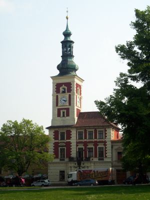
Town hall in Slaný, Rathaus in Tschechien
Location: Slaný
Architects: Rudolf Štech
GPS coordinates: 50.23041,14.08694
Latest update: March 11, 2025 01:07
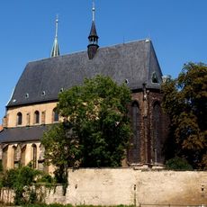
Church of Saint Gotthard (Slaný)
213 m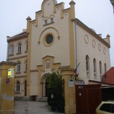
Synagogue in Slaný
180 m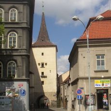
Velvarská brána
144 m
Vlastivědné muzeum ve Slaném
77 m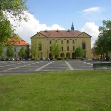
Piarist school and chapel of Our Lady
79 m
Modletický dům
129 m
Městské opevnění ve Slaném
151 m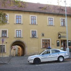
Ungelt
16 m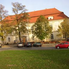
Hotel Pošta
104 m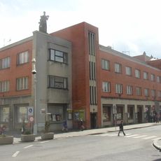
Spořitelna
248 m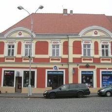
Masnokrámská čp. 86
48 m
Statue of John of Nepomuk on the Modletice House
172 m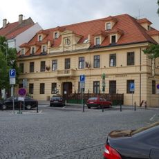
Hejtmanský dvůr
97 m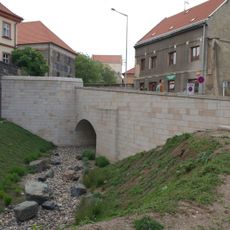
Bridge of Vinařického street over the moat in Slaný
251 m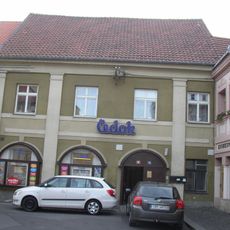
Hospoda U Věnce
220 m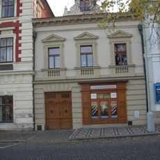
Masarykovo náměstí čp. 2
12 m
Dům čp. 71
127 m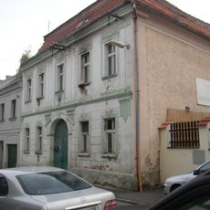
Soukenická čp. 53
162 m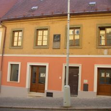
Vinařického čp. 12
98 m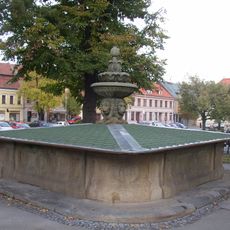
Lions fountain in Slaný
77 m
Maňasovský dům
94 m
Dům U Libuše
121 m
Nedvědovský dům
66 m
Martinický dvůr
52 m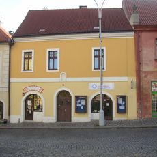
Masarykovo náměstí čp. 8
49 m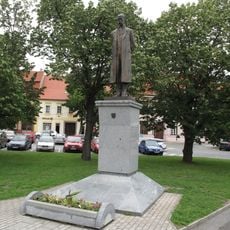
Masarykův pomník na Masarykově náměstí ve Slaném
67 m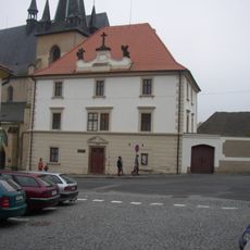
Deanery in Slaný
178 m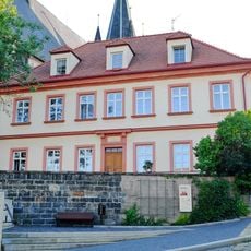
Vinařického čp. 15
220 mReviews
Visited this place? Tap the stars to rate it and share your experience / photos with the community! Try now! You can cancel it anytime.
Discover hidden gems everywhere you go!
From secret cafés to breathtaking viewpoints, skip the crowded tourist spots and find places that match your style. Our app makes it easy with voice search, smart filtering, route optimization, and insider tips from travelers worldwide. Download now for the complete mobile experience.

A unique approach to discovering new places❞
— Le Figaro
All the places worth exploring❞
— France Info
A tailor-made excursion in just a few clicks❞
— 20 Minutes