
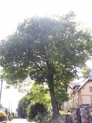
Dub červený, memorable tree in Jeseník District, Czech Republic
Location: Zlaté Hory
Height: 28 m
GPS coordinates: 50.25994,17.39412
Latest update: March 6, 2025 02:27
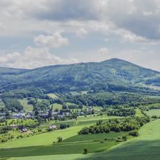
Biskupská kupa
2.5 km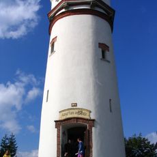
Wieża widokowa na Biskupiej Kopie
2.1 km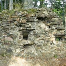
Edelštejn
2.8 km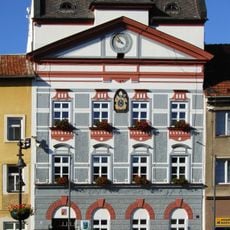
Radnice
473 m
WOP post in Konradów
2.6 km
Leuchtenštejn
1.9 km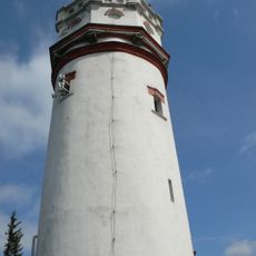
Biskupská kupa (rozhledna)
2.5 km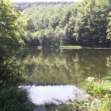
Černé jezero
2.8 km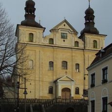
Church of the Assumption of the Virgin Mary
537 m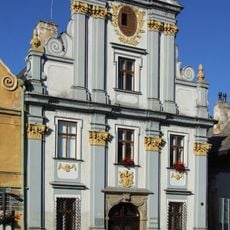
Bývalá pošta
355 m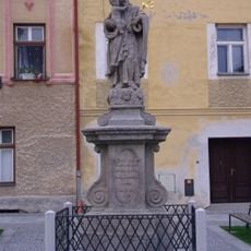
Sloup se sochou svatého Josefa Pěstouna
470 m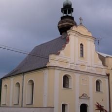
Church of Holy Cross (Zlaté Hory)
750 m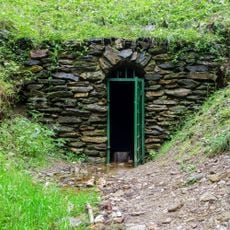
Měděná štola
2 km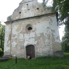
Kaple svatého Rocha
739 m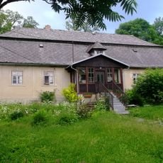
Fara
487 m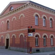
Dům čp. 67
594 m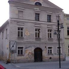
Dům čp. 93
372 m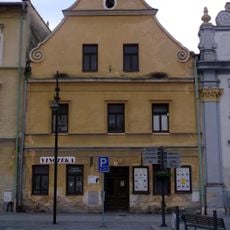
Dům čp. 95
347 m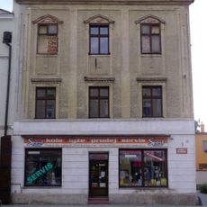
Dům čp. 87
415 m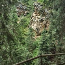
Zlatohorská hornická naučná stezka
399 m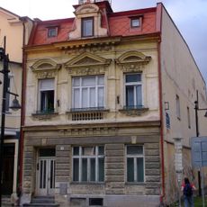
Dům čp. 18
383 m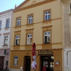
Dům čp. 22
411 m
Dům čp. 89
401 m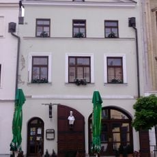
Dům čp. 88
407 m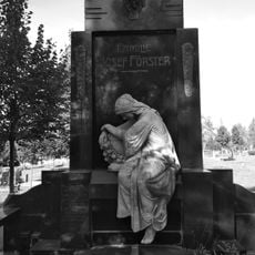
Hrobka rodiny Josefa Förstera
599 m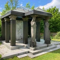
Familiengruft Förster
602 m
Zlaté Hory - Černé jezero
2.2 km
Watermill in Jarnołtówek
3.1 kmReviews
Visited this place? Tap the stars to rate it and share your experience / photos with the community! Try now! You can cancel it anytime.
Discover hidden gems everywhere you go!
From secret cafés to breathtaking viewpoints, skip the crowded tourist spots and find places that match your style. Our app makes it easy with voice search, smart filtering, route optimization, and insider tips from travelers worldwide. Download now for the complete mobile experience.

A unique approach to discovering new places❞
— Le Figaro
All the places worth exploring❞
— France Info
A tailor-made excursion in just a few clicks❞
— 20 Minutes