
Tis obecný červený, memorable tree in Brno-venkov District, Czech Republic
Location: Doubravník
Height: 15 m
GPS coordinates: 49.42248,16.35214
Latest update: May 30, 2025 20:22
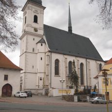
Kostel Povýšení svatého Kříže
351 m
Sokolí skála
1 km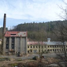
Prudká
1.3 km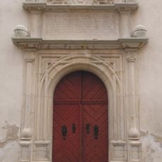
Hrobka Pernštejnů
348 m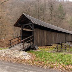
Wooden footbridge in Prudká
1.2 km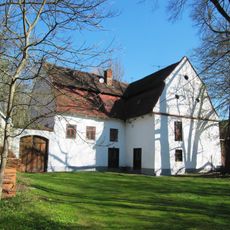
Vodní mlýn
762 m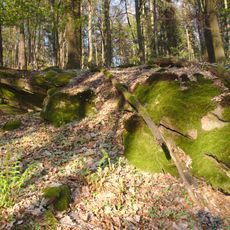
Hrušín
2.1 km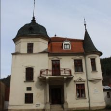
Villa of Jan Kolda
89 m
Chapel of Saint Mary Magdalene
299 m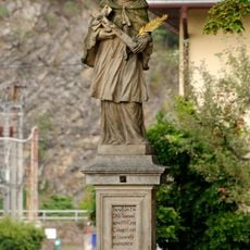
Statue of John of Nepomuk in Doubravník
296 m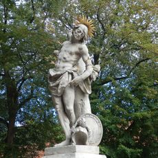
Statue of Saint Sebastian in Doubravník
207 m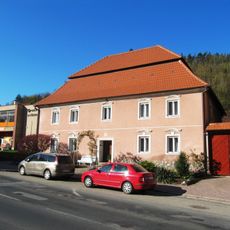
Dům čp. 78
167 m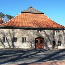
Bývalá pošta
256 m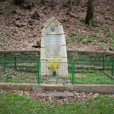
Památník odboje 9. května 1945
2 km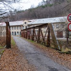
Bridge over Svratka to paper mill Prudká
1.5 km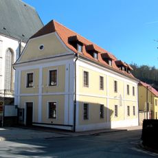
Stará škola
324 m
Usedlost čp. 21
259 m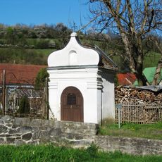
Chapel of Saint Anne in Doubravník
489 m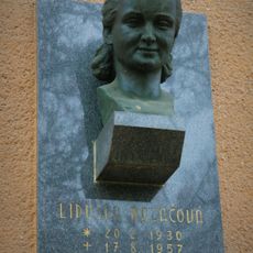
Busta Lidušky Mazáčové
241 m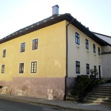
Dům čp. 24
306 m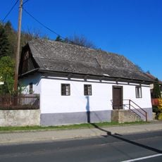
Usedlost čp. 87
77 m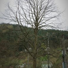
Lípa republiky
225 m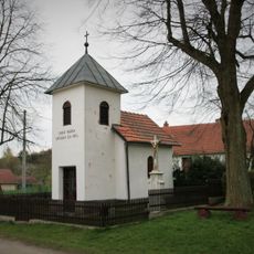
Chapel of Our Lady of Sorrows
1.6 km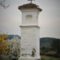
Column shrine in Maňová
992 m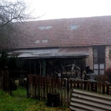
Galerie z ruky (Czech Republic)
2.1 km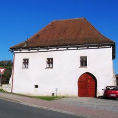
Provost house in Doubravník
324 m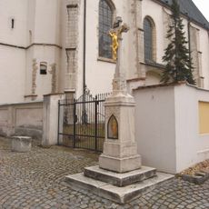
Kříž
313 m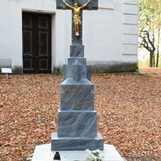
Wayside cross in front of the chapel of Saint Mary Magdalene
289 mVisited this place? Tap the stars to rate it and share your experience / photos with the community! Try now! You can cancel it anytime.
Discover hidden gems everywhere you go!
From secret cafés to breathtaking viewpoints, skip the crowded tourist spots and find places that match your style. Our app makes it easy with voice search, smart filtering, route optimization, and insider tips from travelers worldwide. Download now for the complete mobile experience.

A unique approach to discovering new places❞
— Le Figaro
All the places worth exploring❞
— France Info
A tailor-made excursion in just a few clicks❞
— 20 Minutes