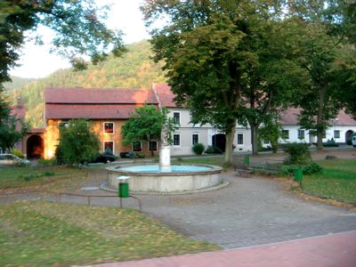
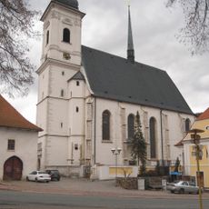
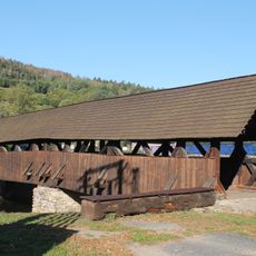
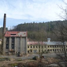
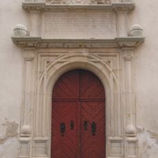
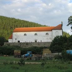
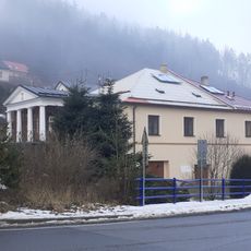
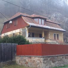
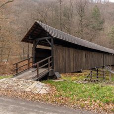
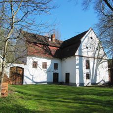
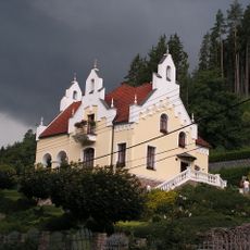
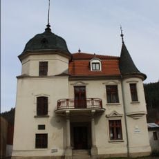
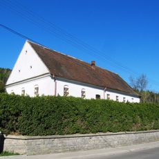
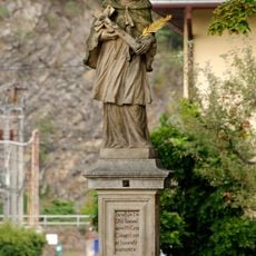
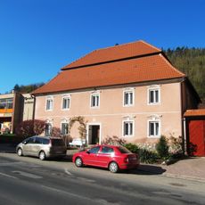
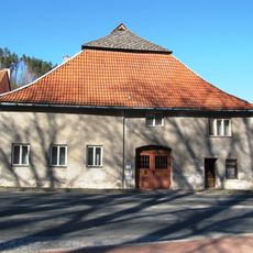
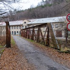
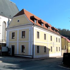
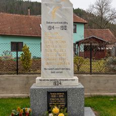
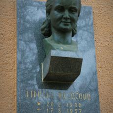
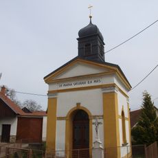
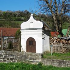
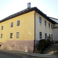
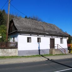
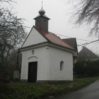
Doubravník, městys in South Moravian, Czech Republic
Location: Тишнов
Location: Brno-Country District
Elevation above the sea: 313 m
Shares border with: Olší, Běleč, Ochoz u Tišnova, Borač, Skorotice, Sejřek, Černvír, Pernštejnské Jestřabí
Email: obec.doubravnik@iol.cz
Website: https://doubravnik.cz
GPS coordinates: 49.42414,16.35272
Latest update: March 11, 2025 23:40
Kostel Povýšení svatého Kříže
176 m
Wooden bridge over the Svratka river in Černvír
2.4 km
Sokolí skála
1.1 km
Prudká
1.3 km
Hrobka Pernštejnů
173 m
Church of the Assumption of the Virgin Mary
2.6 km
Vila Mitrovských
3.8 km
Frankova vila
3.8 km
Wooden footbridge in Prudká
1.3 km
Vodní mlýn
625 m
Vila Vendolských
3.7 km
Villa of Jan Kolda
112 m
Usedlost čp. 2
2.5 km
Chapel of Saint Mary Magdalene
455 m
Statue of John of Nepomuk in Doubravník
132 m
Statue of Saint Sebastian in Doubravník
27 m
Dům čp. 78
80 m
Bývalá pošta
118 m
Bridge over Svratka to paper mill Prudká
1.6 km
Stará škola
145 m
World War I and II memorial
2.5 km
Busta Lidušky Mazáčové
56 m
Chapel of the Virgin Mary of the Rosary
2.7 km
Chapel of Saint Anne in Doubravník
335 m
Usedlost čp. 21
72 m
Dům čp. 24
126 m
Kříž
2 km
Usedlost čp. 87
260 mReviews
Visited this place? Tap the stars to rate it and share your experience / photos with the community! Try now! You can cancel it anytime.
Discover hidden gems everywhere you go!
From secret cafés to breathtaking viewpoints, skip the crowded tourist spots and find places that match your style. Our app makes it easy with voice search, smart filtering, route optimization, and insider tips from travelers worldwide. Download now for the complete mobile experience.
A unique approach to discovering new places❞
— Le Figaro
All the places worth exploring❞
— France Info
A tailor-made excursion in just a few clicks❞
— 20 Minutes