Buk pod hradem, memorable tree in Olomouc District, Czech Republic
Location: Šternberk
Height: 31 m
GPS coordinates: 49.73362,17.30066
Latest update: November 13, 2025 12:17
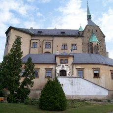
Šternberk Castle
105 m
Church of the Annunciation
210 m
Augustinian monastery in Šternberk
258 m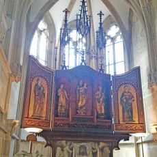
Chapel of Šternberk Castle
123 m
Marian column in Šternberk
215 m
Passingerův mlýn
104 m
Radniční 11
305 m
Radniční 14
283 m
Horní náměstí 4 s dvorním křídlem u čo. 3
196 m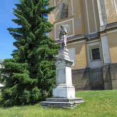
Socha svatého Josefa s Ježíškem ve Šternberku na Horním náměstí
204 m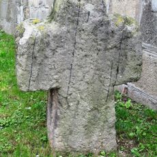
Smírčí kříž
205 m
Radniční 12
293 m
U horní brány 23
236 m
Radniční 16
273 m
Radniční 10
306 m
Horní náměstí 2
214 m
U horní brány 21
267 m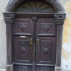
Portál domu Na valech 1
177 m
Sloup se sochou Panny Marie
248 m
Radniční 80
262 m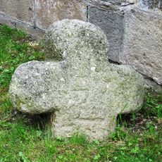
Smírčí kříž
206 m
Horní náměstí 1
226 m
Horní náměstí 9
230 m
Pomník padlým ve Šternberku na Horním náměstí
203 m
Kříž ve Šternberku na Horním náměstí před kostelem
222 m
Studna
261 m
Morový sloup
214 m
Wayside cross
204 mReviews
Visited this place? Tap the stars to rate it and share your experience / photos with the community! Try now! You can cancel it anytime.
Discover hidden gems everywhere you go!
From secret cafés to breathtaking viewpoints, skip the crowded tourist spots and find places that match your style. Our app makes it easy with voice search, smart filtering, route optimization, and insider tips from travelers worldwide. Download now for the complete mobile experience.

A unique approach to discovering new places❞
— Le Figaro
All the places worth exploring❞
— France Info
A tailor-made excursion in just a few clicks❞
— 20 Minutes