
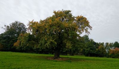
Hrušeň pod Javorníkem, memorable tree in Kroměříž District, Czech Republic
Location: Podhradní Lhota
Height: 11 m
GPS coordinates: 49.41635,17.77986
Latest update: March 12, 2025 03:47

Keltscher Jawornik
2.1 km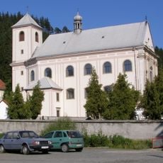
Church of Saint Anne
3.1 km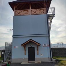
Rozhledna Na vodojemu Kunovice
4.3 km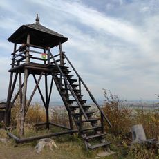
Rozhledna Kunovická hůrka
2.4 km
Nový Šaumburk
1.3 km
Naučná stezka profesora Rudolfa Haši
3.9 km
Šaumburk
1.3 km
Čerňava
4.1 km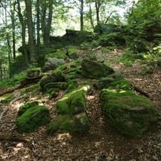
Sochová
3.6 km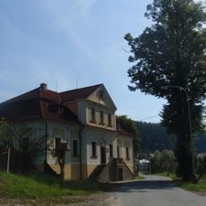
Fara v Rajnochovicích
3 km
Pod Kozincem
4.1 km
Skalka-Polomsko
3.1 km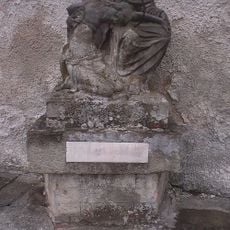
Sousoší Pieta
3 km
Kelčský Javorník
1.8 km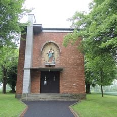
Chapel of Saints Cyril and Methodius in Komárno
2 km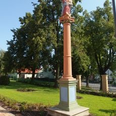
Socha Panny Marie
3.5 km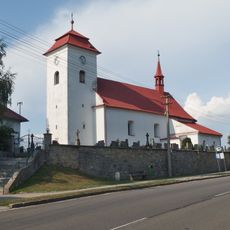
Church of Saint Wenceslaus
4.2 km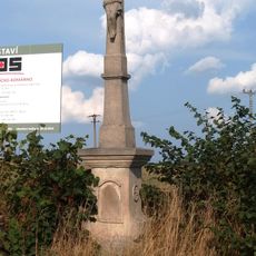
Kříž
3.8 km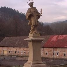
Socha svatého Jana Nepomuckého
3 km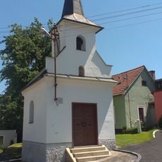
Chapel of Saint Mary
2.6 km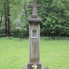
Boží muka U svaté Anny
1.6 km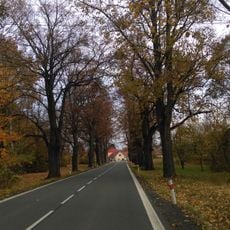
Lipová alej v Komárně
2 km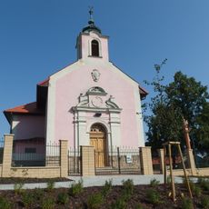
Chapel of the Sacred Heart
3.5 km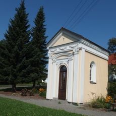
Chapel of Saint Anne
3.9 km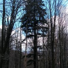
Jedle pod Čerňavou
3.9 km
Farní lipová alej v Rajnochovicích
2.8 km
Smrk pod Sochovou
3.6 km
Dub v Kunovicích
3.9 kmReviews
Visited this place? Tap the stars to rate it and share your experience / photos with the community! Try now! You can cancel it anytime.
Discover hidden gems everywhere you go!
From secret cafés to breathtaking viewpoints, skip the crowded tourist spots and find places that match your style. Our app makes it easy with voice search, smart filtering, route optimization, and insider tips from travelers worldwide. Download now for the complete mobile experience.

A unique approach to discovering new places❞
— Le Figaro
All the places worth exploring❞
— France Info
A tailor-made excursion in just a few clicks❞
— 20 Minutes