
Frenštátský topol, memorable tree in Nový Jičín District, Czech Republic
Location: Frenštát pod Radhoštěm
Height: 25 m
GPS coordinates: 49.54850,18.21487
Latest update: May 30, 2025 21:46
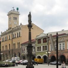
Town hall in Frenštát pod Radhoštěm
281 m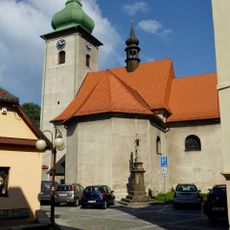
Church of Saint Martin in Frenštát pod Radhoštěm
287 m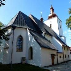
Church of Saint John the Baptist in Frenštát pod Radhoštěm
182 m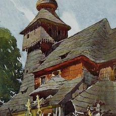
Church of Saint Nicholas
2.5 km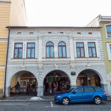
Dům čp. 2
286 m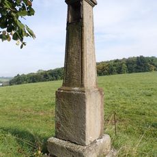
Boží muka
1.5 km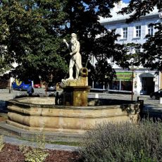
Fountain with a statue of Neptune
257 m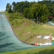
Areal Horečky HS105
1.6 km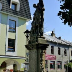
Statue of Saint Florian in Frenštát pod Radhoštěm
235 m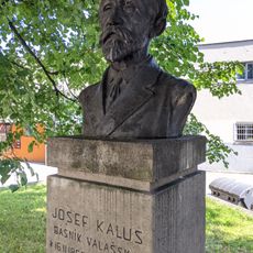
Pomník Josefa Kaluse
278 m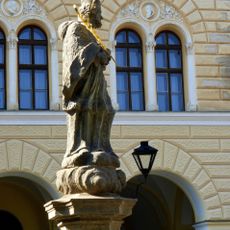
Statue of John of Nepomuk in Frenštát pod Radhoštěm
253 m
Sousoší Boj o život
255 m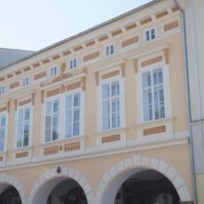
Náměstí Míru 4
293 m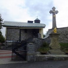
New church of Saint Nicholas
2.5 km
Náměstí Míru 16
261 m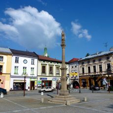
Maria column in Frenštát pod Radhoštěm
270 m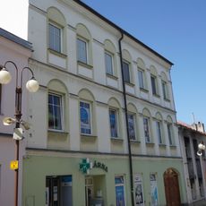
Dolní 9
323 m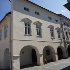
Dům čp. 15
270 m
Náměstí Míru 18
242 m
Náměstí Míru 14
282 m
Náměstí Míru 13
284 m
Náměstí Míru 21
213 m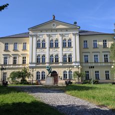
Bývalá měšťanská chlapecká škola
271 m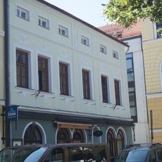
Dům čp. 31 a čp. 34
247 m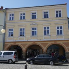
Náměstí Míru 6
302 m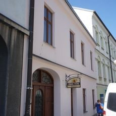
Dolní 8
317 m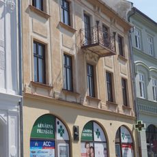
Náměstí Míru 19
234 m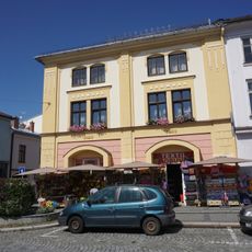
Náměstí Míru 12
293 mReviews
Visited this place? Tap the stars to rate it and share your experience / photos with the community! Try now! You can cancel it anytime.
Discover hidden gems everywhere you go!
From secret cafés to breathtaking viewpoints, skip the crowded tourist spots and find places that match your style. Our app makes it easy with voice search, smart filtering, route optimization, and insider tips from travelers worldwide. Download now for the complete mobile experience.

A unique approach to discovering new places❞
— Le Figaro
All the places worth exploring❞
— France Info
A tailor-made excursion in just a few clicks❞
— 20 Minutes