
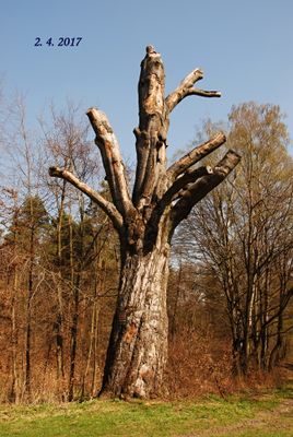
Petřvaldský buk, memorable tree in Karviná District, Czech Republic
Location: Petřvald
Height: 23 m
GPS coordinates: 49.83976,18.37618
Latest update: March 5, 2025 00:33
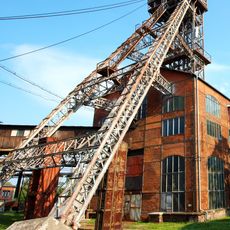
Michal Mine
2.2 km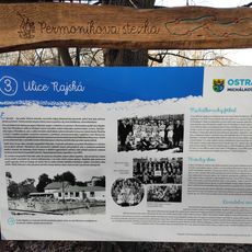
Permoníkova naučná stezka
2.3 km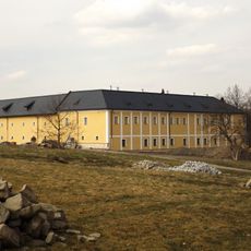
Chateau in Rychvald
3.3 km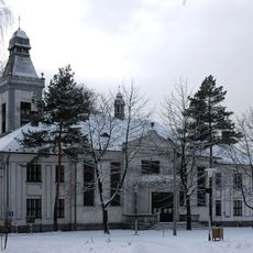
Hussite church Ostrava-Michálkovice
2.3 km
Flying
2 km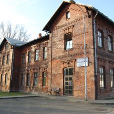
Důl Václav v Orlové
2.5 km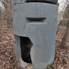
Einmannbunker na haldě dolu Michal
2.1 km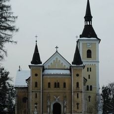
Church of the Assumption (Michálkovice)
2.2 km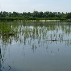
Skučák
3 km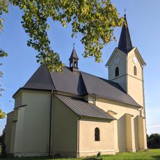
Kostel svaté Anny
2.8 km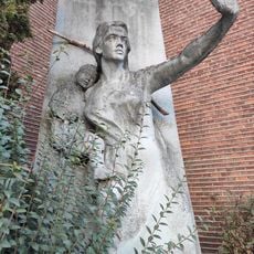
Zabraňte válkám
2.3 km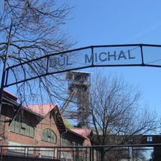
Industria muzeo (Ostrava)
2.3 km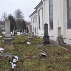
Jewish cemetery in Michalkovice
2.3 km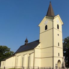
Parafia św. Anny w Rychwałdzie
2.8 km
Educational trail Halda Petr Cingr
2.6 km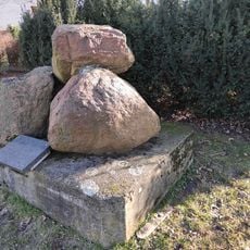
Erratic stones in Petřvald
708 m
Church of Saint Henry in Peřvald
1.2 km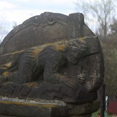
Socha Krista klesajícího pod křížem
3.2 km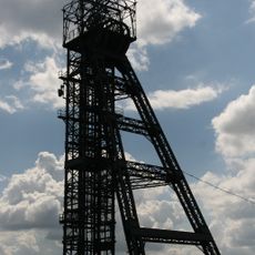
Důl Julius Fučík
2.3 km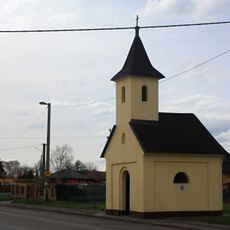
Chapel in Petřvald
2.6 km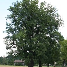
Petřvaldský dub
1.7 km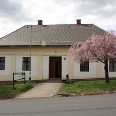
Museum of Technology, Petřvald
1.2 km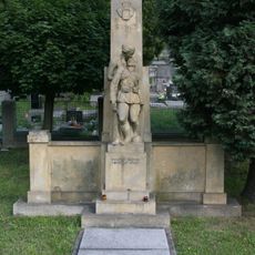
World War I memorial in Petřvald
1.2 km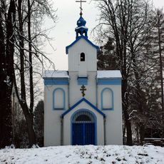
Church of the Nativity of the Virgin Mary
2.1 km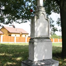
Wayside cross in Závodní street, Petřvald
1.9 km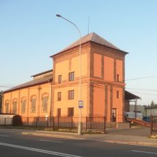
Centrála Petřvald
1.9 km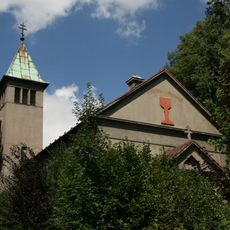
Church of Czechoslovak Hussite Church in Petřvald
1.1 km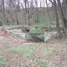
Můstek úzkorozchodné dráhy v Petřvaldu u husitské fary
1.3 kmReviews
Visited this place? Tap the stars to rate it and share your experience / photos with the community! Try now! You can cancel it anytime.
Discover hidden gems everywhere you go!
From secret cafés to breathtaking viewpoints, skip the crowded tourist spots and find places that match your style. Our app makes it easy with voice search, smart filtering, route optimization, and insider tips from travelers worldwide. Download now for the complete mobile experience.

A unique approach to discovering new places❞
— Le Figaro
All the places worth exploring❞
— France Info
A tailor-made excursion in just a few clicks❞
— 20 Minutes