
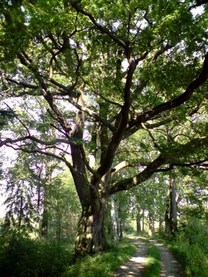
Dub u Budínského rybníka, memorable tree in Jindřichův Hradec District, Czech Republic
Location: Stříbřec
Height: 19 m
GPS coordinates: 49.02486,14.87100
Latest update: March 4, 2025 00:07
Landschaftsschutzpark Wittingauer Becken
3.8 km
Dub Emy Destinové
1.7 km
Tři bratři
2.9 km
Rybníky u Vitmanova
2.2 km
Pomník Emy Destinové
1.8 km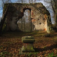
Ruined church of the Birth of Virgin Mary
4.2 km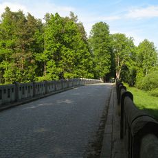
Stříbřecký most
1.4 km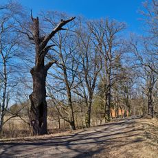
Dub u Nového Vdovce
2.8 km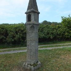
Wayside shrine in Žíteč
4.1 km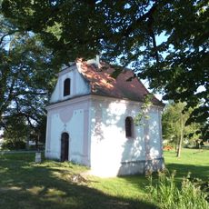
Chapel of Saint Catherine
3.5 km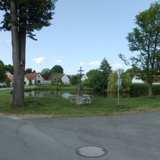
Kříž
4.2 km
Sýpka
4.1 km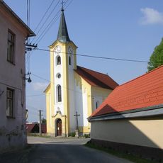
Church of Saint John of Nepomuk
775 m
Usedlost čp. 20
3.5 km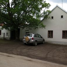
Usedlost čp. 2
3.3 km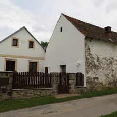
Usedlost čp. 18
3.6 km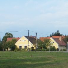
Stříbřec čp. 9
915 m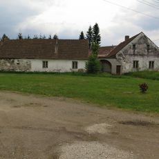
Usedlost čp. 28
3.3 km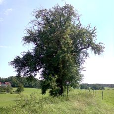
Stříbřecká hrušeň
614 m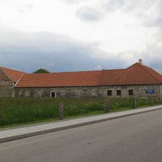
Usedlost čp. 12
3.7 km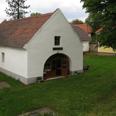
Kovárna
835 m
Dub u Starého Vdovce 2
2.9 km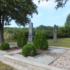
World War I memorial in Žíteč
4.1 km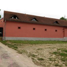
Usedlost čp. 25
3.5 km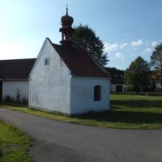
Chapel of the Assumption of the Virgin Mary
4.2 km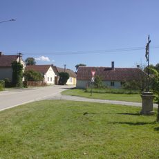
Boží muka na křižovatce místních cest v severní části obce Pístina
3.6 km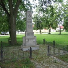
Pomník padlým v 1. světové válce ve středu obce Pístina
3.4 km
Zemědělský dvůr čp. 35 a 37
731 mVisited this place? Tap the stars to rate it and share your experience / photos with the community! Try now! You can cancel it anytime.
Discover hidden gems everywhere you go!
From secret cafés to breathtaking viewpoints, skip the crowded tourist spots and find places that match your style. Our app makes it easy with voice search, smart filtering, route optimization, and insider tips from travelers worldwide. Download now for the complete mobile experience.

A unique approach to discovering new places❞
— Le Figaro
All the places worth exploring❞
— France Info
A tailor-made excursion in just a few clicks❞
— 20 Minutes