
Smrk pod Hrnčířskými Boudami, memorable tree in Trutnov District, Czech Republic
Location: Černý Důl
Height: 25 m
GPS coordinates: 50.66989,15.71548
Latest update: March 9, 2025 13:48

Černá hora
3.5 km
Hnědý vrch
2.1 km
Fuchsberg
3.2 km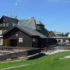
Mountain Hotel Desítka
3.4 km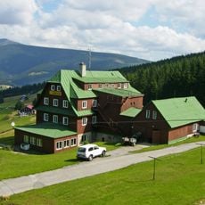
Husova bouda
913 m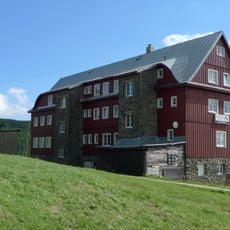
Pražská bouda
1 km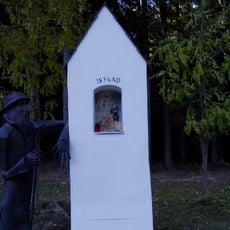
Chapel in Chaloupky
3 km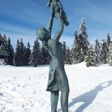
Socha ženy s dítětem
2.7 km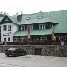
Hospoda Na Peci
3.3 km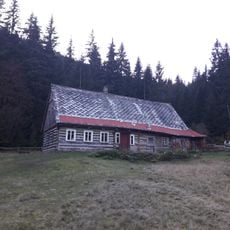
Dům čp. 76
3.7 km
Dům Vlčí Hrana
1.7 km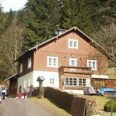
Myslivna
2.1 km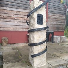
Pomník Tomáše N
3.3 km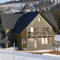
Zvonička
1.5 km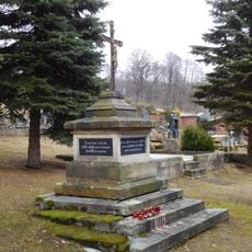
Cross at Černý Důl cemetery
3.7 km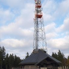
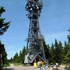
Vysílač na Lučinách v Krkonoších
550 m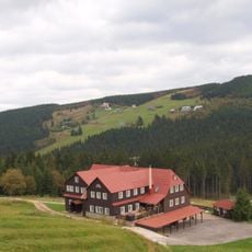
Smetánka
1.7 km
1. Krkonošská cyklistická naučná stezka
3.5 km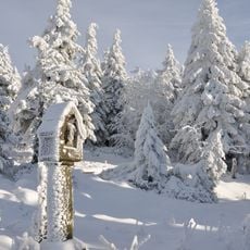
Boží muka na Černé hoře v Krkonoších
3.4 km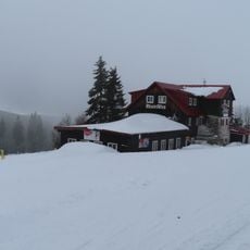
Krakonoš
1.3 km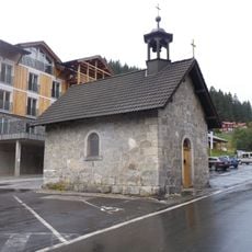
Chapel of Virgin Mary
3.5 km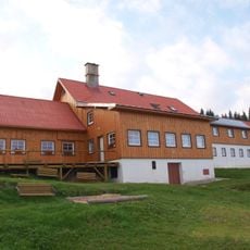
Vebrovy boudy
2 km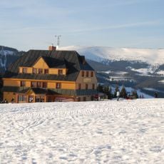
Lidická bouda
836 m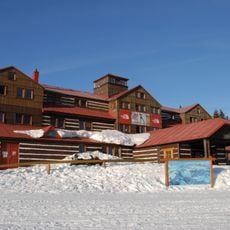
Kolínská bouda
1.6 km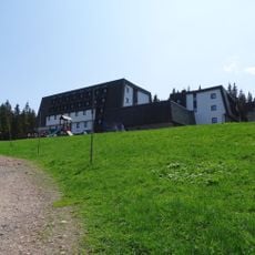
Hotel Černá Bouda
2.8 km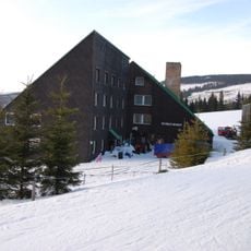
Tetřeví boudy
1.4 km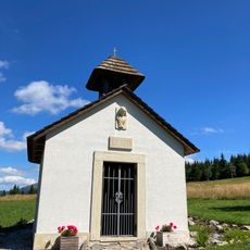
Kaple na Lučinách v Krkonoších
936 m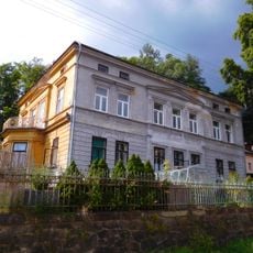
Villa of Josef Menčík
3.6 kmReviews
Visited this place? Tap the stars to rate it and share your experience / photos with the community! Try now! You can cancel it anytime.
Discover hidden gems everywhere you go!
From secret cafés to breathtaking viewpoints, skip the crowded tourist spots and find places that match your style. Our app makes it easy with voice search, smart filtering, route optimization, and insider tips from travelers worldwide. Download now for the complete mobile experience.

A unique approach to discovering new places❞
— Le Figaro
All the places worth exploring❞
— France Info
A tailor-made excursion in just a few clicks❞
— 20 Minutes