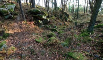
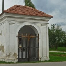
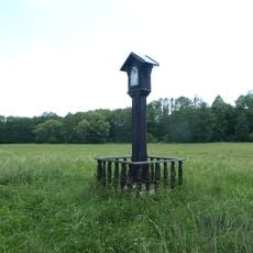
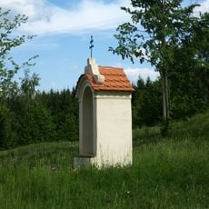
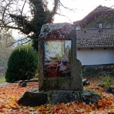
Raziberg, Hillfort at Boletice, Czech Republic.
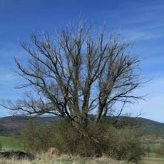
Raziberg is an ancient fortified settlement perched on a hilltop in South Bohemia, with visible remains of defensive structures still evident today. The site encompasses multiple defensive features including ditches, earthen banks, and wall fragments spread across the terrain.
The settlement was established during the Iron Age and inhabited during the Hallstatt and La Tène cultural periods. This shows that the location served as an important dwelling and defensive position for many generations.
The name reflects the Slavic heritage of the region and shows how ancient settlements held significance in local memory. Visitors walking the grounds today can still sense how the fortified layout shaped the daily life of those who lived here.
The site is reachable by hiking trails that wind through the surrounding landscape and are generally easy to follow. Sturdy footwear is recommended since the terrain is uneven and paths can become slippery after rain.
The ditches surrounding the settlement reveal advanced excavation and engineering methods that were surprisingly effective for their era. These drainage systems also helped manage heavy rainfall, which likely contributed to the site's long occupation.
The community of curious travelers
AroundUs brings together thousands of curated places, local tips, and hidden gems, enriched daily by 60,000 contributors worldwide.