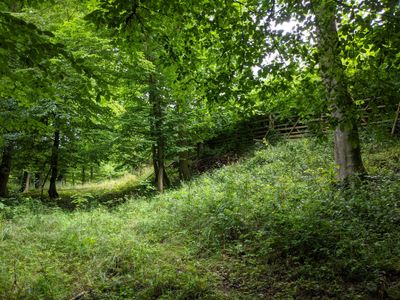
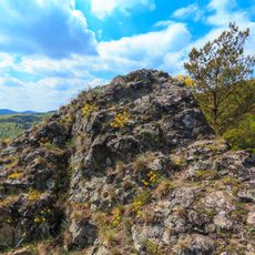
Propadený zámek, Hillfort ruins near Branov, Czech Republic.
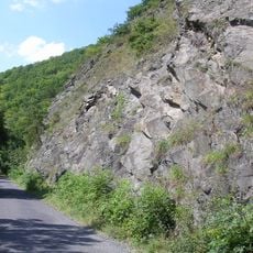
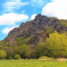
Propadený zámek is a fortified settlement perched on a high promontory above the Berounka River, featuring three defensive ramparts and remnants of stone foundations. The structures spread across the slope with views of the river valley below.
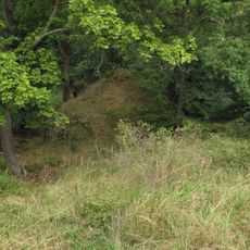
Excavations in 1913 revealed cellars and artifacts from the Hallstatt period, between 800 and 400 BCE, showing early human settlement. This period marks one of the oldest known occupation layers at this location.
Local stories describe underground chambers and hidden rooms that have captured people's imaginations for generations. Visitors today encounter the sense of mystery that these narratives have preserved.
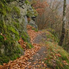
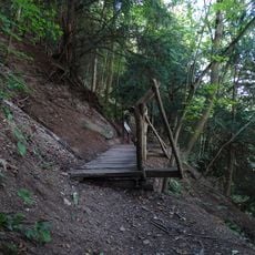
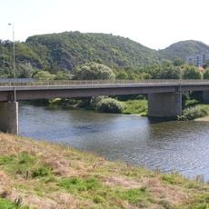
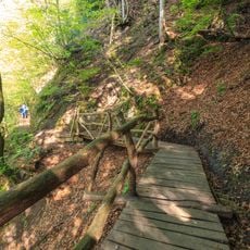
The site lies about one hour on foot from the V Luhu ferry crossing, following an unmarked trail along the river. Sturdy footwear and some endurance are important since the path climbs toward the hilltop.
The name means 'Sunken Castle' and reflects legends of passages and chambers beneath the surface. This naming shows how deeply the underground aspects are rooted in how locals perceive the place.
Location: Branov
Elevation above the sea: 340 m
GPS coordinates: 50.00652,13.83156
Latest update: December 14, 2025 11:23
Čertova skála
3 km
Rozhledna Velká Buková
2.9 km
U Eremita
2.1 km
Kouřimecká Rybárna
3.5 km
Nezabudické skály
2 km
Týřovické skály
3.7 km
Vysoký tok
2.1 km
Pamětní síň Jaroslava Fraňka v Nezabudicích
1.1 km
Most přes potok u če. 79 v Luhu
611 m
Most silnice II/201 přes potok z Velké Bukové
3.6 km
Church of Saint Lawrence
1 km
Lávka přes Pěnovcový potok
2.2 km
Rohanův dub
3.7 km
Branov - čp. 2
1.2 km
Častonice 1
4.1 km
Jedle u Velké Bukové
4 km
Chapel of Saint John of Nepomuk
3.3 km
Footbridge over the pond in Velká Buková
3.2 km
Čertova skála
3 km
Dub Buben
3.7 km
Hrušeň na Hadrovizně
3.2 km
Road bridge in Roztoky u Křivoklátu
3.5 km
Pomník padlým na návsi v Karlově Vsi
3.1 km
Railway bridge in Roztoky u Křivoklátu
3.6 km
Railway bridge over road II/201 in Křivoklát
3.8 km
Footbridge over the Klučná to U Eremita reserve
2.5 km
Lávka ve svahu na stezce U Eremita
2.3 km
Bridge of road II/201 over the Tyterský potok
845 mVisited this place? Tap the stars to rate it and share your experience / photos with the community! Try now! You can cancel it anytime.
Discover hidden gems everywhere you go!
From secret cafés to breathtaking viewpoints, skip the crowded tourist spots and find places that match your style. Our app makes it easy with voice search, smart filtering, route optimization, and insider tips from travelers worldwide. Download now for the complete mobile experience.
A unique approach to discovering new places❞
— Le Figaro
All the places worth exploring❞
— France Info
A tailor-made excursion in just a few clicks❞
— 20 Minutes