
Zlatá stezka, Weg in Tschechien
Location: Volary
Part of: Zlatá stezka (Bohemian Forest)
GPS coordinates: 48.91588,13.89926
Latest update: March 25, 2025 03:22
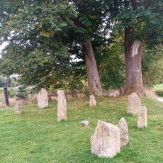
Volarské menhiry
859 m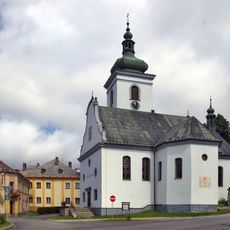
Church of Saint Catherine (Volary)
702 m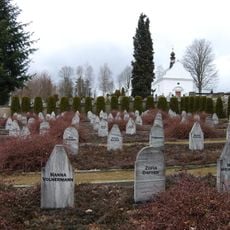
Jewish cemetery in Volary
405 m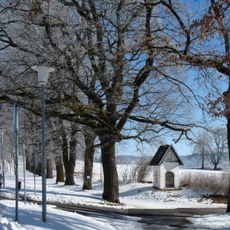
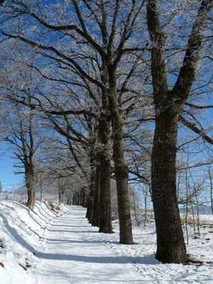
Alej Zlatá stezka
267 m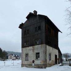
Mlynařovická 392
502 m
Volarský jilm
912 m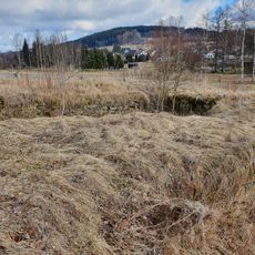
Achatzův mlýn
738 m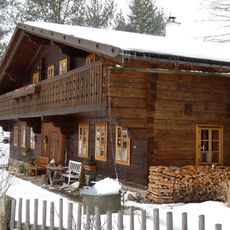
K. V. Raise 159
614 m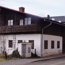
Stadtmuseum Volary
805 m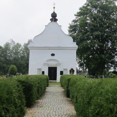
Chapel of Saint Florian
340 m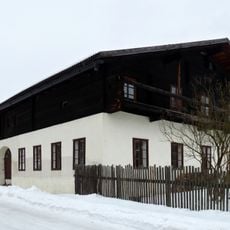
K. V. Raise 162
614 m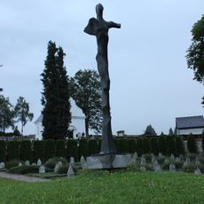
Torzo ženy
414 m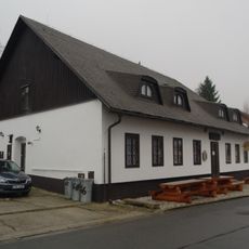
K. V. Raise 166
621 m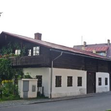
Česká 71
805 m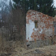
Dům čp. 171
659 m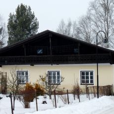
K. V. Raise 163
639 m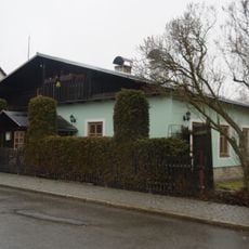
Příčná 67
850 m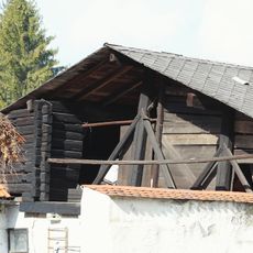
Barn at No. 56
956 m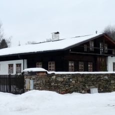
Dům čp. 164
604 m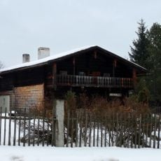
Česká 102
692 m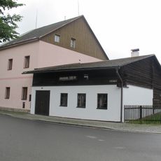
Poloroubený dům u čp. 81
735 m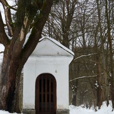
Kaplička za pivovarem
381 m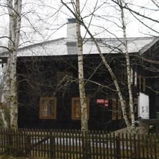
Dům če. 10
661 m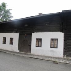
Dům čp. 70
816 m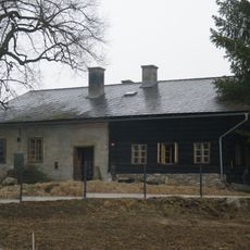
Dům čp. 96
747 m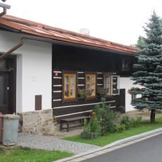
Česká 99
724 m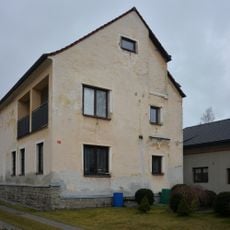
Česká 74
792 m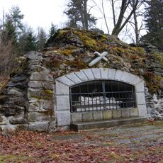
Holy Sepulchre
891 mReviews
Visited this place? Tap the stars to rate it and share your experience / photos with the community! Try now! You can cancel it anytime.
Discover hidden gems everywhere you go!
From secret cafés to breathtaking viewpoints, skip the crowded tourist spots and find places that match your style. Our app makes it easy with voice search, smart filtering, route optimization, and insider tips from travelers worldwide. Download now for the complete mobile experience.

A unique approach to discovering new places❞
— Le Figaro
All the places worth exploring❞
— France Info
A tailor-made excursion in just a few clicks❞
— 20 Minutes