
Vrchlického nábř., street in České Budějovice, Czech Republic
Location: České Budějovice
Location: České Budějovice 6
GPS coordinates: 48.96827,14.48263
Latest update: March 11, 2025 03:27

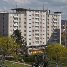
Experiment
487 m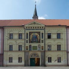
Church of the Virgin Mary of the Rosary in České Budějovice
427 m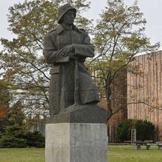
Zborovský pomník
493 m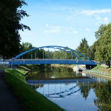
Modrý most
427 m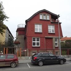
Vila Františka Petráše
238 m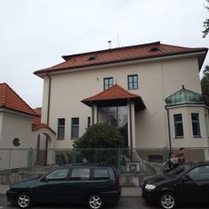
Westenova vila
256 m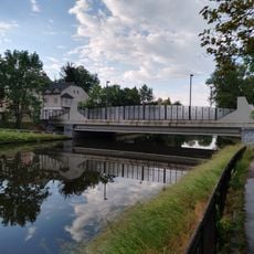
Most Kosmonautů
393 m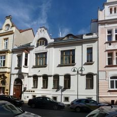
Dům U Tří lvů
396 m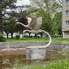
Labutě u Experimentu
509 m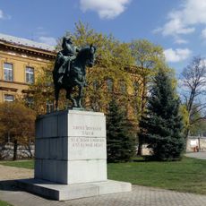
Monument to Jan Žižka in České Budějovice
416 m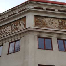
Sgraffito on SPŠ strojní a elektronická
318 m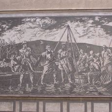
Výlov
127 m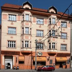
Dům U Černého koníčka
409 m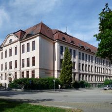
Základní škola Dukelská
416 m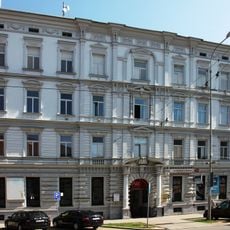
Žižkova tř. 3
454 m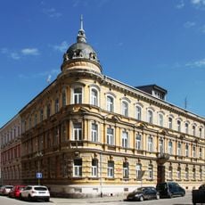
Žižkova tř. 19
495 m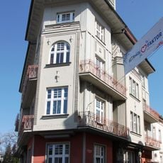
Činžovní dům Anny Kovaříkové
416 m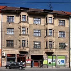
Žižkova tř. 17
412 m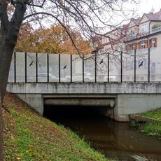
Most Mánesovy ulice přes Mlýnskou stoku
202 m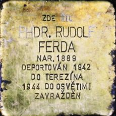
Stolperstein dedicated to Rudolf Ferda
119 m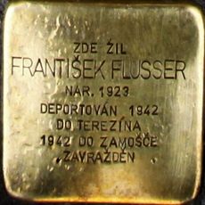
Stolperstein dedicated to František Flusser
452 m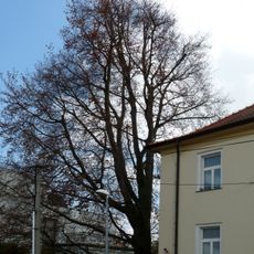
Červenolistý buk v Budovcově ulici
464 m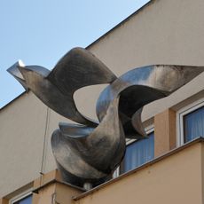
Rozlet
432 m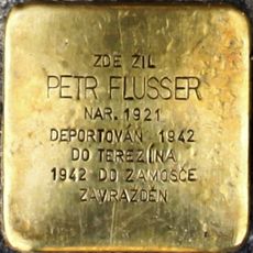
Stolperstein dedicated to Petr Flusser
452 m
Most ulice U Tří lvů přes Mlýnskou stoku v Českých Budějovicích
409 m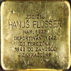
Stolperstein dedicated to Hanuš Flusser
452 m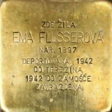
Stolperstein dedicated to Ema Flusserová
452 m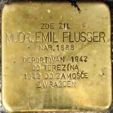
Stolperstein dedicated to Emil Flusser
452 mReviews
Visited this place? Tap the stars to rate it and share your experience / photos with the community! Try now! You can cancel it anytime.
Discover hidden gems everywhere you go!
From secret cafés to breathtaking viewpoints, skip the crowded tourist spots and find places that match your style. Our app makes it easy with voice search, smart filtering, route optimization, and insider tips from travelers worldwide. Download now for the complete mobile experience.

A unique approach to discovering new places❞
— Le Figaro
All the places worth exploring❞
— France Info
A tailor-made excursion in just a few clicks❞
— 20 Minutes