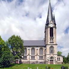
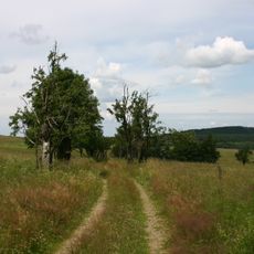
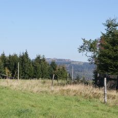
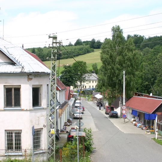
Český Jiřetín

Log in to your account

AroundUs is a community-driven map of interesting places, built by curious explorers like you. It grows with every review, story, and photo you share.
Connect to save your favorite spots, contribute locations, and create personalized routes.
By continuing, you accept our Terms and Conditions and our Privacy Policy
Add to collection
Map
Suggest a change
Share

Český Jiřetín, jádrová část obce Český Jiřetín v okrese Most
Location: Český Jiřetín

GPS coordinates: 50.69067,13.56166

Latest update: March 11, 2025 03:00

Around this place
Show the full map
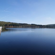
Fláje Reservoir
Czech Republic

Fláje Reservoir

1.5 km
Lichtenwald
Czech Republic

Lichtenwald

545 m
Burgruine Rechenberg
Germany

Burgruine Rechenberg

5.1 km
Černý rybník
Czech Republic

Černý rybník

4.8 km
Church of Saint John the Baptist
Czech Republic

Church of Saint John the Baptist

2.1 km
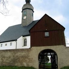
Church Cämmerswalde
Germany

Church Cämmerswalde

4.6 km
Kirche Rechenberg-Bienenmühle
Germany

Kirche Rechenberg-Bienenmühle

5.2 km
Steinkuppe
Germany

Steinkuppe

4.2 km
Přírodní park Loučenská hornatina
Czech Republic

Přírodní park Loučenská hornatina

4.9 km
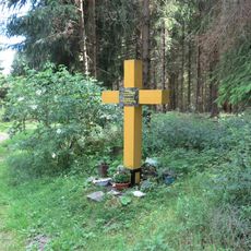
Pomník-kříž památce obyvatel zaniklé vsi Fláje
Czech Republic

Pomník-kříž památce obyvatel zaniklé vsi Fláje

3.5 km
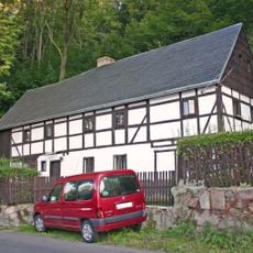
Dům če. 124
Czech Republic

Dům če. 124

2.2 km
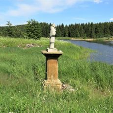
Socha svatého Jana Nepomuckého u Flájské vodní nádrže
Czech Republic

Socha svatého Jana Nepomuckého u Flájské vodní nádrže

3.7 km
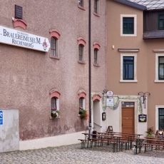
Sächsisches Brauereimuseum Rechenberg
Germany

Sächsisches Brauereimuseum Rechenberg

5.1 km
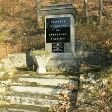
Monument to the fallen in Český Jiřetín
Czech Republic

Monument to the fallen in Český Jiřetín

2.2 km
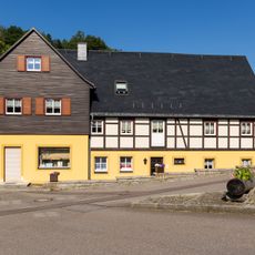
Wohnhaus mit Sonnenuhr und späterem Anbau mit Laden Markt 1
Germany

Wohnhaus mit Sonnenuhr und späterem Anbau mit Laden Markt 1

5 km
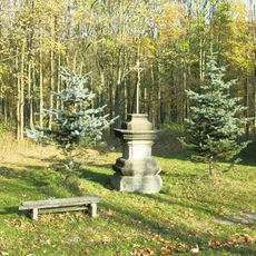
Kříž u kostela v Českém Jiřetíně
Czech Republic

Kříž u kostela v Českém Jiřetíně

2.2 km
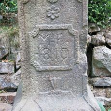
Podstavec kříže v Českém Jiřetíně u cesty k Horní Vsi
Czech Republic

Podstavec kříže v Českém Jiřetíně u cesty k Horní Vsi

1.9 km
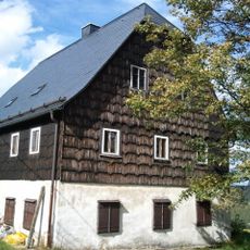
Rectory (Český Jiřetín)
Czech Republic

Rectory (Český Jiřetín)

1.9 km
Kříž v ruinách zaniklé vsi Fláje
Czech Republic

Kříž v ruinách zaniklé vsi Fláje

3.6 km
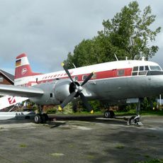
Ilyushin Il-14 at Cämmerswalde
Germany

Ilyushin Il-14 at Cämmerswalde

4.7 km
Brauerei Rechenberg Rechenberg-Bienenmühle
Germany

Brauerei Rechenberg Rechenberg-Bienenmühle

5.1 km
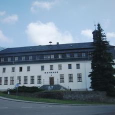
Herrenhaus Rechenberg
Germany

Herrenhaus Rechenberg

5.1 km
Schule (heute Wohnhaus) Muldentalstraße 25
Germany

Schule (heute Wohnhaus) Muldentalstraße 25

5.1 km
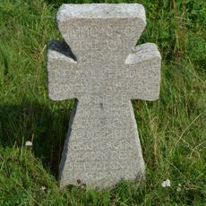
Smírčí kříž u zámečku Lichtenwald na vrchu Bradáčov
Czech Republic

Smírčí kříž u zámečku Lichtenwald na vrchu Bradáčov

540 m
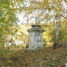
Kříž na rozcestí pod kostelem v Českém Jiřetíně
Czech Republic

Kříž na rozcestí pod kostelem v Českém Jiřetíně

2.3 km
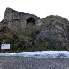
Burgruine An der Schanze -
Germany

Burgruine An der Schanze -

5.1 km
Kříž v základech zaniklého kostela ve Flájích
Czech Republic

Kříž v základech zaniklého kostela ve Flájích

3.7 km
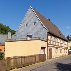
Wohnstallhaus Alte Straße 77
Germany

Wohnstallhaus Alte Straße 77

5 km
Show the full map

Reviews

Visited this place? Tap the stars to rate it and share your experience / photos with the community! Try now! You can cancel it anytime.

« Český Jiřetín - jádrová část obce Český Jiřetín v okrese Most » is provided by Around Us (aroundus.com). Images and texts are derived from Wikimedia project under a Creative Commons license. You are allowed to copy, distribute, and modify copies of this page, under the conditions set by the license, as long as this note is clearly visible.

Discover hidden gems everywhere you go!

From secret cafés to breathtaking viewpoints, skip the crowded tourist spots and find places that match your style. Our app makes it easy with voice search, smart filtering, route optimization, and insider tips from travelers worldwide. Download now for the complete mobile experience.

Around Us App Screenshot

A unique approach to discovering new places

Le Figaro

All the places worth exploring

France Info

A tailor-made excursion in just a few clicks

20 Minutes