
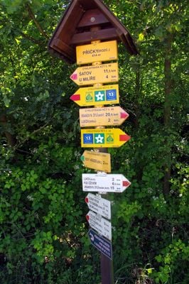
Rozcestník Příčky - rozc., turistický rozcestník v okrese Znojmo
Location: Lukov
Elevation above the sea: 414 m
Part of: Czech Hiking Markers System
GPS coordinates: 48.84888,15.91812
Latest update: March 10, 2025 15:54
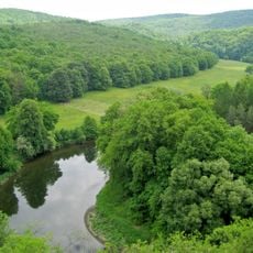
National Park Thayatal
4 km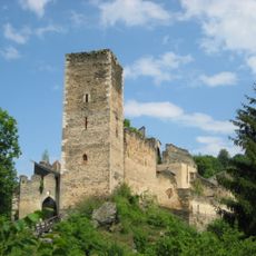
Burgruine Kaja
3.3 km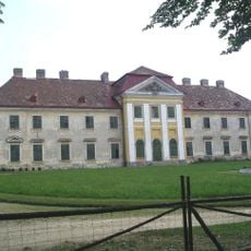
Schloss Karlslust
3.8 km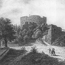
Nový Hrádek
1.5 km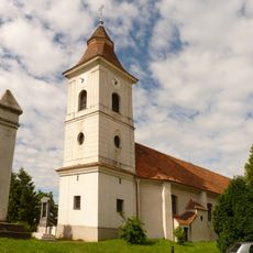
Church of Saint Giles
1.6 km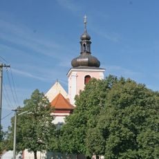
Church of Saint John the Baptist
4.2 km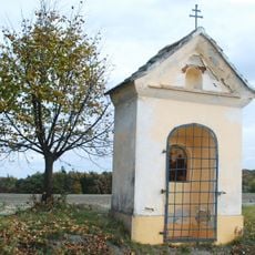
Kurze Marter, Hardegg
4 km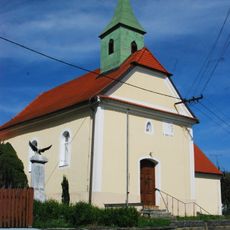
Ortskapelle
4 km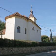
Chapel of Virgin Mary
3.5 km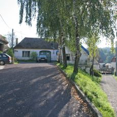
Usedlost čp. 12
3.7 km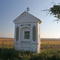
Poklona
3.4 km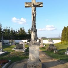
Main cemetery cross in Lukov
1.7 km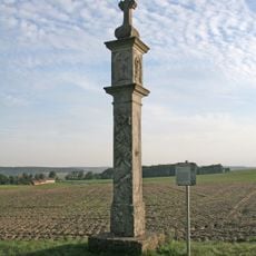
Lange Marter, Hardegg
3.9 km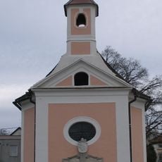
Chapel of Our Lady of Sorrows
1.6 km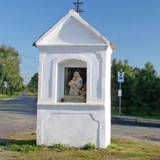
Chapel-shrine at cemetery in Lukov
1.7 km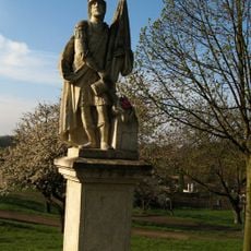
Socha svatého Floriána
1.5 km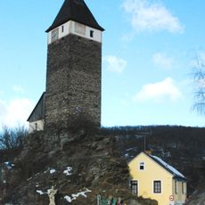
Hardegg Uhrturm
4.3 km
Hardegg Statue Johannes Nepomuk
4.3 km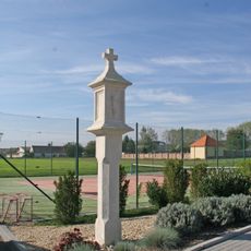
Boží muka
4.1 km
Pranýř v Lukově
1.6 km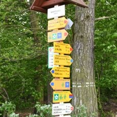
Rozcestník Nivky - rozc.
2.1 km
Kříž u kostela v Mašovicích
4.2 km
Dřevěný kříž u kostela v Mašovicích
4.2 km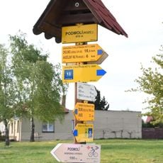
Rozcestník Podmolí
1.8 km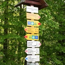
Rozcestník U Pustého rybníku
1.7 km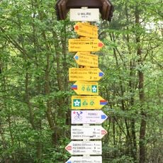
Rozcestník U Milíře
2.6 km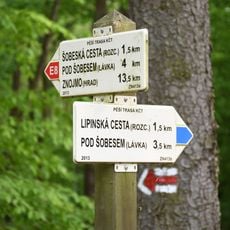
Rozcestník U Milíře - rozc.
2.7 km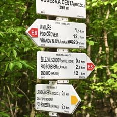
Rozcestník Šobeská cesta
3.8 kmVisited this place? Tap the stars to rate it and share your experience / photos with the community! Try now! You can cancel it anytime.
Discover hidden gems everywhere you go!
From secret cafés to breathtaking viewpoints, skip the crowded tourist spots and find places that match your style. Our app makes it easy with voice search, smart filtering, route optimization, and insider tips from travelers worldwide. Download now for the complete mobile experience.

A unique approach to discovering new places❞
— Le Figaro
All the places worth exploring❞
— France Info
A tailor-made excursion in just a few clicks❞
— 20 Minutes