Enable Location

We need your location to show you interesting places around you

Discover nearby places

Find interesting locations and hidden gems around you

Precise directions

Get accurate directions and distances to places

Your location is never shared with other users. It's only used when you tap the location button.

Log in to your account

Start exploring — it's free

Trusted by 63,125 travelers worldwide

Continue with Google
Continue with Apple
or

We will send you a code to connect

By continuing, you accept our Terms and Conditions and our Privacy Policy

Check your inbox

We've sent a pincode in your inbox. Please enter the code below.

Správní obvod obce s rozšířenou působností Kralovice
Discussion Reviews Photo
1.3k Popularity

Správní obvod obce s rozšířenou působností Kralovice, Administrative district in Plzeň-North, Czech Republic

The administrative district of Kralovice is a municipal territory in Plzeň-North that encompasses numerous communities across the northern region, shaped by hills and river systems. The territory spans varied landscapes and includes several towns of different sizes and characteristics.

The administrative district was established on 1 January 2003 during the Czech municipal reform to improve regional administration. This restructuring changed how local services and governance were organized across the region.

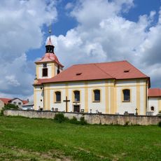
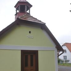
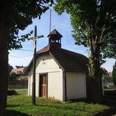
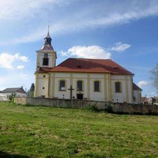
Five towns including Kralovice, Plasy, and Manětín shape this region, each maintaining distinct local traditions and architectural character. Visitors encounter different styles and community practices that reflect how each settlement has preserved its identity over time.

The territory contains numerous schools, kindergartens, and art schools, with a main medical center located in Plasy. Visitors should know the region is accessible by car and offers multiple distinct locations to explore.

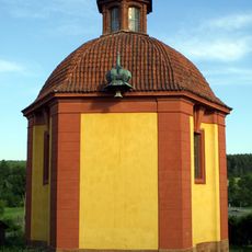
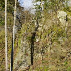
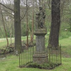
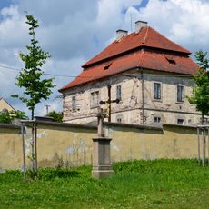
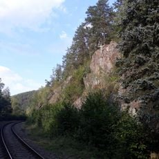
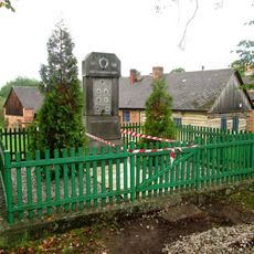
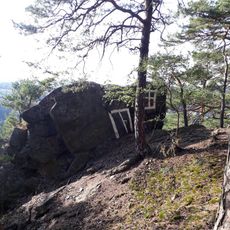
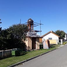
The territory contains protected natural areas within the Křivoklátsko landscape reserve and includes significant monuments like the Plasy monastery. These historical and natural features make it an interesting place for those seeking to explore history and nature together.

The community of curious travelers

AroundUs brings together thousands of curated places, local tips, and hidden gems, enriched daily by 60,000 contributors worldwide.

Start exploring
Inception
January 1, 2003
Capital city
Kralovice
GPS coordinates
49.96667,13.36667
Latest update
December 14, 2025 18:09
Around this place
Kaple Jména Panny Marie
Czech Republic

Kaple Jména Panny Marie

2.1 km
Ondřejov
Czech Republic

Ondřejov

1.3 km
Church of Saint James the Greater
Czech Republic

Church of Saint James the Greater

2.1 km
Památník Lidických žen u Ondřejova
Czech Republic

Památník Lidických žen u Ondřejova

2.2 km
Socha svaté Anny
Czech Republic

Socha svaté Anny

1.2 km
Památník severozápadně od Horního Hradiště
Czech Republic

Památník severozápadně od Horního Hradiště

467 m
Kaple v Ondřejově
Czech Republic

Kaple v Ondřejově

2 km
Fara
Czech Republic

Fara

2.1 km
Kříž nad Střelou západně od Horního Hradiště
Czech Republic

Kříž nad Střelou západně od Horního Hradiště

1.3 km
Zvonička v Horním Hradišti
Czech Republic

Zvonička v Horním Hradišti

1.2 km
Kříž u kaple v Ondřejově
Czech Republic

Kříž u kaple v Ondřejově

2 km
Pomník padlým v Ondřejově
Czech Republic

Pomník padlým v Ondřejově

2 km
Obrázek západně od Horního Hradiště
Czech Republic

Obrázek západně od Horního Hradiště

499 m
Kříž východně od Horního Hradiště
Czech Republic

Kříž východně od Horního Hradiště

1.6 km
Kříž v Horním Hradišti
Czech Republic

Kříž v Horním Hradišti

1.2 km
Kříž u kostelní zdi v Žebnici
Czech Republic

Kříž u kostelní zdi v Žebnici

2.1 km
Kříž severně od Ondřejova
Czech Republic

Kříž severně od Ondřejova

2.1 km
Kříž u Horního Hradiště
Czech Republic

Kříž u Horního Hradiště

1.5 km
Pomník padlým v Mladoticích
Czech Republic

Pomník padlým v Mladoticích

2.1 km
Kříž u Mladotic na křižovatce
Czech Republic

Kříž u Mladotic na křižovatce

2 km
Pomník padlým v Horním Hradišti
Czech Republic

Pomník padlým v Horním Hradišti

1.2 km
Kříž jižně od Mladotic u rozcestí
Czech Republic

Kříž jižně od Mladotic u rozcestí

945 m
Malovaná skála
Czech Republic

Malovaná skála

972 m
Kaple v Horním Hradišti
Czech Republic

Kaple v Horním Hradišti

1.2 km
Pamětní deska neštěstí na železnici jihovýchodně od Ondřejova
Czech Republic

Pamětní deska neštěstí na železnici jihovýchodně od Ondřejova

1.3 km
Kříž na skále nad řekou Střelou jihovýchodně od Ondřejova
Czech Republic

Kříž na skále nad řekou Střelou jihovýchodně od Ondřejova

1.4 km
Dřevěný kříž v Mladoticích
Czech Republic

Dřevěný kříž v Mladoticích

2.1 km
Kříž u Horního Hradiště na okraji lesa
Czech Republic

Kříž u Horního Hradiště na okraji lesa

235 m
Show the full map
Reviews
Share your experience

No review yet

Discussions
Start a discussion...

No discussion yet

« Správní obvod obce s rozšířenou působností Kralovice - Administrative district in Plzeň-North, Czech Republic » is provided by Around Us (aroundus.com). Images and texts are derived from Wikimedia project under a Creative Commons license. You are allowed to copy, distribute, and modify copies of this page, under the conditions set by the license, as long as this note is clearly visible.

Discover hidden gems everywhere you go!

From secret cafés to breathtaking viewpoints, skip the crowded tourist spots and find places that match your style. Our app makes it easy with voice search, smart filtering, route optimization, and insider tips from travelers worldwide. Download now for the complete mobile experience.

Around Us App Screenshot

A unique approach to discovering new places

Le Figaro

All the places worth exploring

France Info

A tailor-made excursion in just a few clicks

20 Minutes

Around Us
Travel Guide & Maps
Download

Send to your phone

QR Code
1

Open the camera app on your mobile.

2

Point at the QR code with your camera. A notification will appear.

3

Tap the notification to open the link.