Chest opened
+${chestReward.xp} XP
Explorer
NOUVEAU ×${chestReward.collectible.quantity}
tapez pour fermer

See the monuments around you in AR Open chests in the app

Around Us is built for your phone — point your camera at the streets and discover the monuments and places around you in augmented reality. Around Us is built for your phone — chests unlock when you walk, explore and capture nearby places.

•

Enable Location

We need your location to show you interesting places around you

Discover nearby places

Find interesting locations and hidden gems around you

Precise directions

Get accurate directions and distances to places

Your location is never shared with other users. It's only used when you tap the location button.

Footbridge Lužec nad Vltavou - Bukol

Log in to your account

Start exploring — it's free

Trusted by 94,497 travelers worldwide

Continue with Google
Continue with Apple
or

We will send you a code to connect

By continuing, you accept our Terms and Conditions and our Privacy Policy

Check your inbox

We've sent a pincode in your inbox. Please enter the code below.

Footbridge Lužec nad Vltavou - Bukol

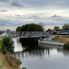
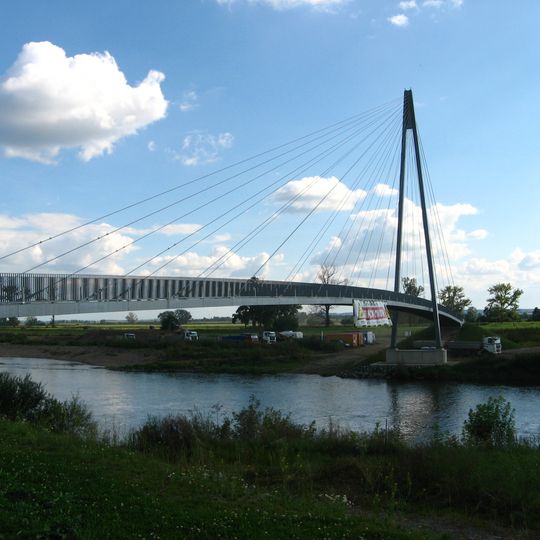
Footbridge Lužec nad Vltavou - Bukol, Cable-stayed footbridge in Lužec nad Vltavou, Czech Republic

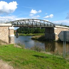
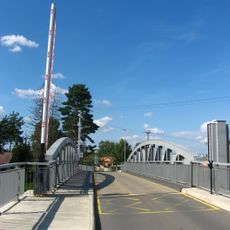
The footbridge at Lužec nad Vltavou–Bukol crosses the Vltava on a single steel pylon 40 m tall. Its main span is 131 m, and with the approach ramps the structure measures 212.7 m. The deck is 3.2 m wide and hangs on locked galvanized steel cables; lighting is part of the structure.

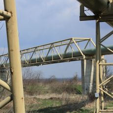
A ferry once crossed the Vltava at this spot, and until the footbridge opened, a hot-water pipeline between Zálezlice and Zelčín carried pedestrians and cyclists on the main cycle routes, stairs included. The bridge project was drawn up in 2015 and finished in late summer 2020, after which the pipeline was closed to walkers and riders.

The bridge carries cycle route CT 7 and the long-distance EuroVelo 7, which runs from Sweden to Sicily. Before it opened, cyclists crossed the Vltava on a provisional hot-water pipeline between Zálezlice and Zelčín, where they had to carry their bikes up stairs; that route was closed once the footbridge opened.

The bridge is easily accessible for pedestrians and cyclists, with clear pathways on both sides. Visitors should be aware of weather conditions when crossing, as the height and exposure mean wind can be stronger at certain times.

Before the footbridge opened, cyclists and pedestrians crossed the Vltava on a provisional hot-water pipeline between Zálezlice and Zelčín, which included stairs; it was closed to them once the bridge opened. The span itself is 131 m, while the whole structure with approach ramps measures 212.7 m.

The community of curious travelers

AroundUs brings together thousands of curated places, local tips, and hidden gems, enriched daily by 94,497 contributors worldwide.
Start exploring
Location
Inception
2020
Height
40 m
Length
138 m
Longest Span
100 m
Width
3.2 m
GPS coordinates
50.31948,14.39825
Latest update
October 24, 2026 14:19
Around this place
Zoopark Zelčín
Czech Republic

Zoopark Zelčín

1.8 mi
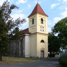
Church of the Assumption of the Virgin Mary
Czech Republic

Church of the Assumption of the Virgin Mary

1.5 mi
Bridge over the lateral canal in Chramostek
Czech Republic

Bridge over the lateral canal in Chramostek

1 mi
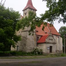
Church of Saint Giles (Lužec nad Vltavou)
Czech Republic

Church of Saint Giles (Lužec nad Vltavou)

0.1 mi
Most přes plavební kanál ve Vraňanech
Czech Republic

Most přes plavební kanál ve Vraňanech

1.6 mi
Kříž u silnice z nádraží Vraňany do obce
Czech Republic

Kříž u silnice z nádraží Vraňany do obce

1.5 mi
Funeral chapel of Corpus Christi
Czech Republic

Funeral chapel of Corpus Christi

1.8 mi
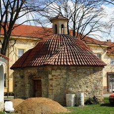
Chapel of Saint Bartholomew
Czech Republic

Chapel of Saint Bartholomew

0.4 mi
Former railway bridge over the canal in Lužec nad Vltavou
Czech Republic

Former railway bridge over the canal in Lužec nad Vltavou

0.4 mi
Kříž v centru Vraňan
Czech Republic

Kříž v centru Vraňan

1.5 mi
Kaplička na rozcestí v osadě Chramostek
Czech Republic

Kaplička na rozcestí v osadě Chramostek

0.9 mi
Zvonička v osadě Kozárovice
Czech Republic

Zvonička v osadě Kozárovice

1.3 mi
Railway bridge over the canal in Lužec nad Vltavou
Czech Republic

Railway bridge over the canal in Lužec nad Vltavou

0.4 mi
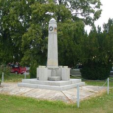
World War II memorial in Lužec nad Vltavou
Czech Republic

World War II memorial in Lužec nad Vltavou

0.1 mi
Bridge of 9. května street over the canal in Lužec nad Vltavou
Czech Republic

Bridge of 9. května street over the canal in Lužec nad Vltavou

0.4 mi
Old bridge of road III/24635 over the canal in Lužec nad Vltavou
Czech Republic

Old bridge of road III/24635 over the canal in Lužec nad Vltavou

0.3 mi
Pomník padlým ve Vraňanech
Czech Republic

Pomník padlým ve Vraňanech

1.6 mi
Kříž v Mělnické ulici v Lužci nad Vltavou
Czech Republic

Kříž v Mělnické ulici v Lužci nad Vltavou

0.6 mi
Kaple u kostela v Lužci nad Vltavou
Czech Republic

Kaple u kostela v Lužci nad Vltavou

0.1 mi
World wars memorial in Lužec nad Vltavou
Czech Republic

World wars memorial in Lužec nad Vltavou

510 ft
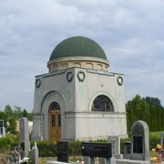
Kaple na hřbitově v Lužci nad Vltavou
Czech Republic

Kaple na hřbitově v Lužci nad Vltavou

0.5 mi
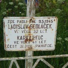
Pomník padlým 9.5.1945 u silnice severně od Lužce nad Vltavou
Czech Republic

Pomník padlým 9.5.1945 u silnice severně od Lužce nad Vltavou

1.2 mi
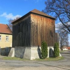
Dřevěná zvonice v Hostíně
Czech Republic

Dřevěná zvonice v Hostíně

1.6 mi
Kříž u domu 68 v Zálezlicích
Czech Republic

Kříž u domu 68 v Zálezlicích

1.8 mi
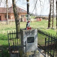
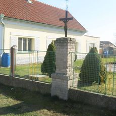
Cross at village green in Bukol
Czech Republic

Cross at village green in Bukol

0.4 mi
Pomník padlým v Hostíně
Czech Republic

Pomník padlým v Hostíně

1.7 mi
Kříž na rozcestí západně od Zálezlic
Czech Republic

Kříž na rozcestí západně od Zálezlic

1.5 mi
Potrubní lávka přes laterální kanál u Zelčína
Czech Republic

Potrubní lávka přes laterální kanál u Zelčína

1.7 mi
Show the full map
Reviews
Share your experience

No review yet

Discussions
Start a discussion...

No discussion yet

« Footbridge Lužec nad Vltavou - Bukol - Cable-stayed footbridge in Lužec nad Vltavou, Czech Republic » is provided by Around Us (aroundus.com). Images and texts are derived from Wikimedia project under a Creative Commons license. You are allowed to copy, distribute, and modify copies of this page, under the conditions set by the license, as long as this note is clearly visible.

Discover hidden gems everywhere you go!

From secret cafés to breathtaking viewpoints, skip the crowded tourist spots and find places that match your style. Our app makes it easy with voice search, smart filtering, route optimization, and insider tips from travelers worldwide. Download now for the complete mobile experience.
Around Us App Screenshot
❝

A unique approach to discovering new places❞

— Le Figaro

❝

All the places worth exploring❞

— France Info

❝

A tailor-made excursion in just a few clicks❞

— 20 Minutes

Around Us
Travel Guide & Maps
Download

Send to your phone

QR Code
1

Open the camera app on your mobile.

2

Point at the QR code with your camera. A notification will appear.

3

Tap the notification to open the link.