
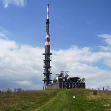
Durda, mountain in Slovakia
Location: District of Nové Mesto nad Váhom
GPS coordinates: 48.85400,17.64738
Latest update: June 4, 2025 23:48
Velká Javořina
2.1 km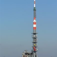
Bílé Karpaty
2.1 km
Bahulské jamy
4.9 km
Záhumenice
5.6 km
Mechnáčky
5.2 km
Chapel of inner silence in Nová Lhota
5.2 km
Hrnčárky
6.5 km
Dolnoněmčanské louky
4.9 km
Podhajský mlýn
6.3 km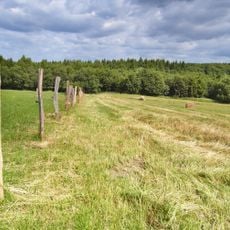
Za lesem
5.8 km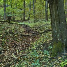
Sviní hnízdo
4.2 km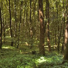
Uvezené
6.1 km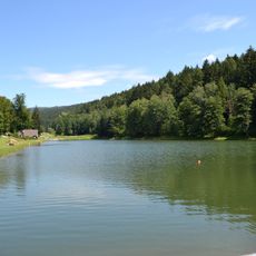
Stará Myjava
6.2 km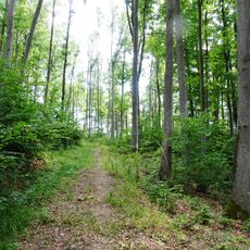
Vápenky
2.5 km
Kaštinka
5.7 km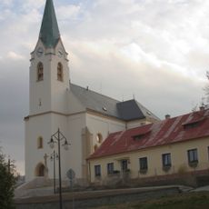
Church of the Exaltation of the Holy Cross
6.8 km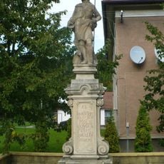
Socha svatého Jana Křtitele
6.4 km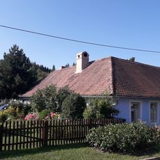
Vápenky čp. 252
2.6 km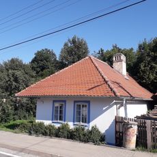
Vápenky čp. 270
2.6 km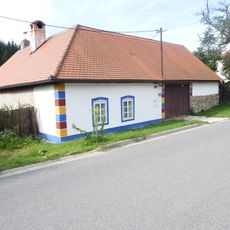
Dům čp. 231
2.6 km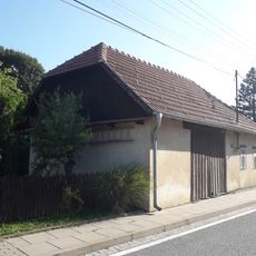
Vápenky čp. 227
2.6 km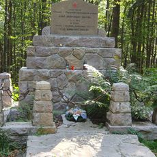
Dibrovov pomník
1.3 km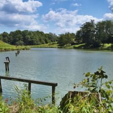
Straňanská nádrž
6.2 km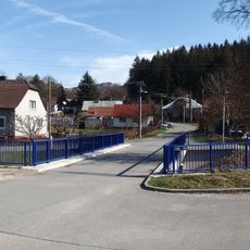
Most přes Klanečnici v Květné u nám. Em. Zahna
6.4 km
Vápenky čp. 267
2.6 km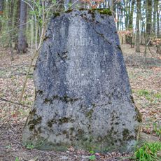
Liechtenstein memorial Strání
6.2 km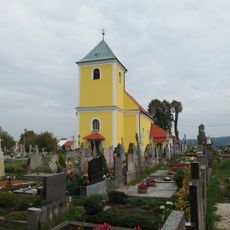
Church of Saint Matthew
4.3 km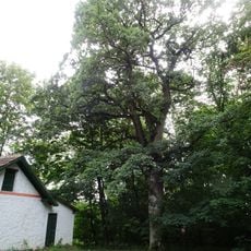
Dub u Kamenné búdy
4.3 kmReviews
Visited this place? Tap the stars to rate it and share your experience / photos with the community! Try now! You can cancel it anytime.
Discover hidden gems everywhere you go!
From secret cafés to breathtaking viewpoints, skip the crowded tourist spots and find places that match your style. Our app makes it easy with voice search, smart filtering, route optimization, and insider tips from travelers worldwide. Download now for the complete mobile experience.

A unique approach to discovering new places❞
— Le Figaro
All the places worth exploring❞
— France Info
A tailor-made excursion in just a few clicks❞
— 20 Minutes