Gimghoul Neighborhood Historic District

Log in to your account

AroundUs is a community-driven map of interesting places, built by curious explorers like you. It grows with every review, story, and photo you share.
Connect to save your favorite spots, contribute locations, and create personalized routes.
Continue with Google
Continue with Apple
Continue with X
Continue with Facebook
Continue with email
By continuing, you accept our Terms and Conditions and our Privacy Policy
Create an account
Add to collection
Map
Suggest a change
Share

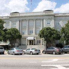
Gimghoul Neighborhood Historic District, Historic residential district in Chapel Hill, United States.

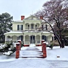
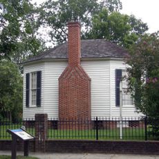
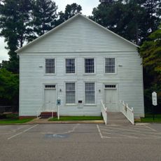
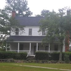
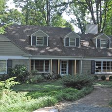
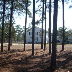
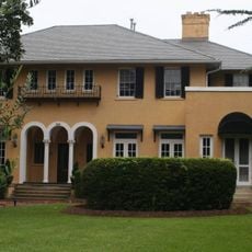
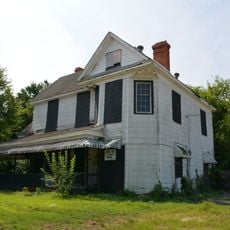
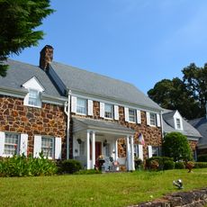
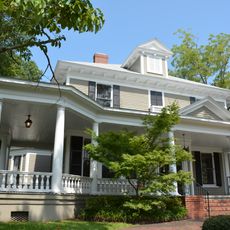
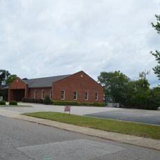
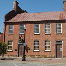
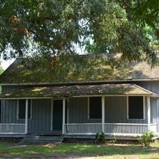
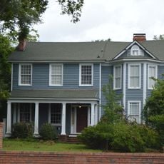
Gimghoul Neighborhood Historic District is a residential area in Chapel Hill comprising 42 buildings spread across 35 acres, displaying Colonial Revival and Craftsman architectural styles. The houses line Gimghoul Road, Ridge Lane, and Gladon Drive, forming a cohesive neighborhood from the interwar period.

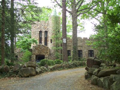
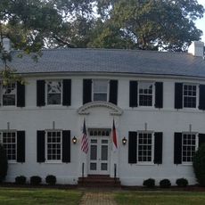
The district developed from 1924 onward after the Order of Gimghoul sold their land to fund construction of their headquarters at Hippol Castle. Most homes were built during the 1920s and 1930s, with later structures displaying more standardized Colonial Revival designs.

The neighborhood was created as the first faculty housing development separate from the University of North Carolina campus, drawing professors and their families together. This layout fostered a tight-knit community of scholars living near one another.

Any modifications or new construction in the district requires special approval, meaning visitors will find a well-preserved, protected neighborhood. Walking the main roads is the best way to explore the area, as it is organized for historical protection.

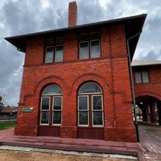
The Order of Gimghoul, a secret student society, sold this land to finance and build their mysterious Hippol Castle headquarters. This surprising connection between a faculty residential neighborhood and a hidden social order shapes the place's historical identity.

Location: Chapel Hill

GPS coordinates: 34.91310,-79.04000

Latest update: December 14, 2025 12:21

Photos
Around this place
Fayetteville Ballpark
United States of America

Fayetteville Ballpark

21.4 km
Edgar Allan Poe House
United States of America

Edgar Allan Poe House

21.4 km
Heritage Square
United States of America

Heritage Square

21.1 km
Airborne & Special Operations Museum Foundation
United States of America

Airborne & Special Operations Museum Foundation

21.3 km
Haymount District
United States of America

Haymount District

21.1 km
Cumberland County Courthouse
United States of America

Cumberland County Courthouse

21.3 km
Camp Ground Methodist Church
United States of America

Camp Ground Methodist Church

18.3 km
United States of America

Philadelphus Presbyterian Church

20.9 km
Puppy Creek Plantation
United States of America

Puppy Creek Plantation

14.5 km
Rocky Ridge Farm Historic District
United States of America

Rocky Ridge Farm Historic District

823 m
Big Rockfish Presbyterian Church
United States of America

Big Rockfish Presbyterian Church

11.4 km
Hoke County Courthouse
United States of America

Hoke County Courthouse

18.2 km
Raeford Historic District
United States of America

Raeford Historic District

18.2 km
Cape Fear Baptist Church
United States of America

Cape Fear Baptist Church

19.5 km
Frank H. Stedman House
United States of America

Frank H. Stedman House

20.3 km
Hope Mills Historic District
United States of America

Hope Mills Historic District

10.8 km
Dr. Ezekiel Ezra Smith House
United States of America

Dr. Ezekiel Ezra Smith House

20.7 km
Brownlea
United States of America

Brownlea

19.2 km
William McDiarmid House
United States of America

William McDiarmid House

21 km
United States Post Office
United States of America

United States Post Office

21.3 km
Market House Square District
United States of America

Market House Square District

21.4 km
Holt-Harrison House
United States of America

Holt-Harrison House

20.8 km
John Davis House
United States of America

John Davis House

20.6 km
Liberty Row
United States of America

Liberty Row

21.4 km
McCall House
United States of America

McCall House

20.7 km
Dr. William C. Verdery House
United States of America

Dr. William C. Verdery House

20.2 km
Henry McLean House
United States of America

Henry McLean House

20.6 km
Fayetteville Area Transportation & Local History Museum
United States of America

Fayetteville Area Transportation & Local History Museum

21.1 km
Show the full map
Reviews

Visited this place? Tap the stars to rate it and share your experience / photos with the community! Try now! You can cancel it anytime.

« Gimghoul Neighborhood Historic District - Historic residential district in Chapel Hill, United States » is provided by Around Us (aroundus.com). Images and texts are derived from Wikimedia project under a Creative Commons license. You are allowed to copy, distribute, and modify copies of this page, under the conditions set by the license, as long as this note is clearly visible.

Discover hidden gems everywhere you go!

From secret cafés to breathtaking viewpoints, skip the crowded tourist spots and find places that match your style. Our app makes it easy with voice search, smart filtering, route optimization, and insider tips from travelers worldwide. Download now for the complete mobile experience.

Around Us App Screenshot

A unique approach to discovering new places

Le Figaro

All the places worth exploring

France Info

A tailor-made excursion in just a few clicks

20 Minutes