Enable Location

We need your location to show you interesting places around you

Discover nearby places

Find interesting locations and hidden gems around you

Precise directions

Get accurate directions and distances to places

Your location is never shared with other users. It's only used when you tap the location button.

Log in to your account

Start exploring — it's free

Trusted by 62,043 travelers worldwide

Continue with Google
Continue with Apple
or

We will send you a code to connect

By continuing, you accept our Terms and Conditions and our Privacy Policy

Check your inbox

We've sent a pincode in your inbox. Please enter the code below.

Farmville Historic District, Historic district in Farmville, US

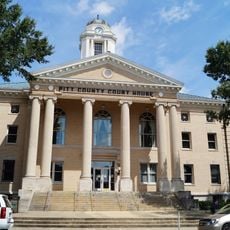
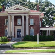
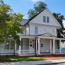
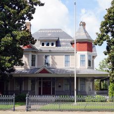
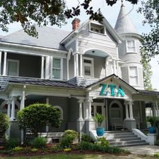
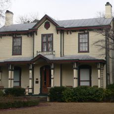
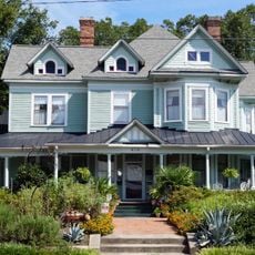
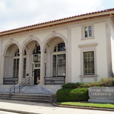
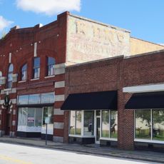
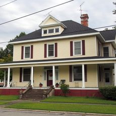
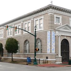
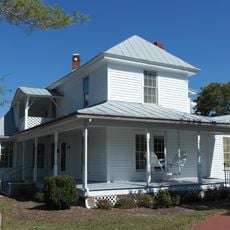
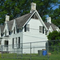
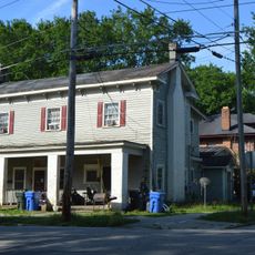
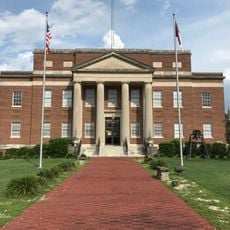
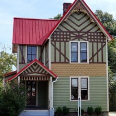
Farmville Historic District is an area with about 246 buildings and a memorial structure that spans the commercial and residential core of town. The architecture ranges from the mid-19th century to the early 20th century and shows a variety of building styles and purposes.

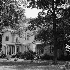
The district was established as a historic area in 1887 and houses buildings spanning nearly a century and a half. Several notable structures like the Paulett-Gill house from 1858 and the Methodist Church from 1907 mark different development phases of the town.

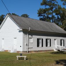
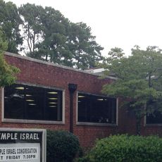
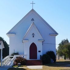
The district contains several churches built in different periods, including Farmville Presbyterian Church, Johns Memorial Episcopal Church, and First Baptist Church. These buildings shape the streetscape and reflect the religious life that has marked the community across generations.

The area is easy to explore on foot since the historic buildings are concentrated in the town center. The protected status helps owners maintain their properties, but visitors can walk freely through the streets and view the architecture from outside.

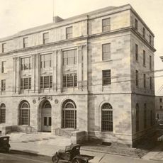
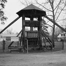
The district was once a hub of tobacco and shoe manufacturing, with preserved warehouses from the Dunnington Tobacco Company and Craddock-Terry Shoe Company still standing. These former factory buildings show that the town once depended on manufacturing and processing trades.

The community of curious travelers

AroundUs brings together thousands of curated places, local tips, and hidden gems, enriched daily by 60,000 contributors worldwide.

Start exploring
Location
GPS coordinates
35.59890,-77.58640
Latest update
December 14, 2025 17:43
Around this place
Dowdy–Ficklen Stadium
United States of America

Dowdy–Ficklen Stadium

20 km
Williams Arena at Minges Coliseum
United States of America

Williams Arena at Minges Coliseum

19.8 km
Fort Neoheroka
United States of America

Fort Neoheroka

18.6 km
Coolmore Plantation
United States of America

Coolmore Plantation

36.3 km
Pitt County Courthouse
United States of America

Pitt County Courthouse

19.4 km
William H. Long House
United States of America

William H. Long House

25.7 km
Imagination Station Science Museum
United States of America

Imagination Station Science Museum

32.4 km
Red Banks Primitive Baptist Church
United States of America

Red Banks Primitive Baptist Church

22.4 km
Temple Israel
United States of America

Temple Israel

36.6 km
Robert Lee Humber House
United States of America

Robert Lee Humber House

19.5 km
James L. Fleming House
United States of America

James L. Fleming House

19.2 km
Cotton Press
United States of America

Cotton Press

33.7 km
E. B. Ficklen House
United States of America

E. B. Ficklen House

18.8 km
Davis-Whitehead-Harriss House
United States of America

Davis-Whitehead-Harriss House

33.3 km
Jesse R. Moye House
United States of America

Jesse R. Moye House

19 km
United States Post Office
United States of America

United States Post Office

19.4 km
Dickinson Avenue Historic District
United States of America

Dickinson Avenue Historic District

18.7 km
Hill–Grainger Historic District
United States of America

Hill–Grainger Historic District

36.5 km
Branch Banking & Trust Company Building
United States of America

Branch Banking & Trust Company Building

32.4 km
Cox-Ange House
United States of America

Cox-Ange House

18.5 km
St. John's Episcopal Church
United States of America

St. John's Episcopal Church

32.4 km
Moses Rountree House
United States of America

Moses Rountree House

33.3 km
Wilson County Courthouse
United States of America

Wilson County Courthouse

31.2 km
Old Wilson Historic District
United States of America

Old Wilson Historic District

32.8 km
Greene County Courthouse
United States of America

Greene County Courthouse

17.7 km
Jones-Lee House
United States of America

Jones-Lee House

19.2 km
WITN-Tower
United States of America

WITN-Tower

31.3 km
Freeman Round House
United States of America

Freeman Round House

31.2 km
Show the full map
« Farmville Historic District - Historic district in Farmville, US » is provided by Around Us (aroundus.com). Images and texts are derived from Wikimedia project under a Creative Commons license. You are allowed to copy, distribute, and modify copies of this page, under the conditions set by the license, as long as this note is clearly visible.

Discover hidden gems everywhere you go!

From secret cafés to breathtaking viewpoints, skip the crowded tourist spots and find places that match your style. Our app makes it easy with voice search, smart filtering, route optimization, and insider tips from travelers worldwide. Download now for the complete mobile experience.

Around Us App Screenshot

A unique approach to discovering new places

Le Figaro

All the places worth exploring

France Info

A tailor-made excursion in just a few clicks

20 Minutes

Around Us
Travel Guide & Maps
Download

Send to your phone

QR Code
1

Open the camera app on your mobile.

2

Point at the QR code with your camera. A notification will appear.

3

Tap the notification to open the link.