
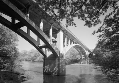
Fourche LaFave River Bridge
Fourche LaFave River Bridge
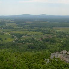
Petit Jean State Park
26.8 km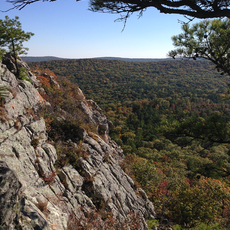
Flatside Wilderness
21.3 km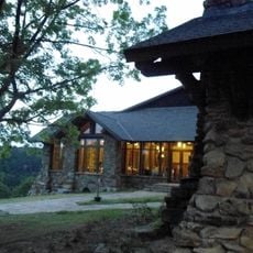
Mather Lodge
26.8 km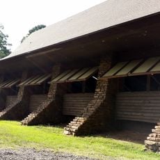
CCC architecture of Petit Jean State Park
28.9 km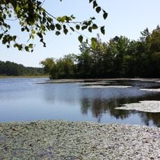
Petit Jean State Park-Lake Bailey-Roosevelt Lake Historic District
29.3 km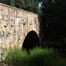
Cedar Creek Bridge
28.6 km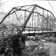
Wallace Bridge
9 km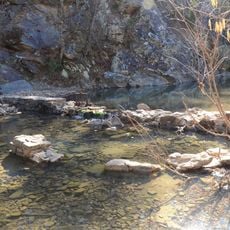
Iron Springs Recreation Area
22.5 km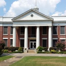
Yell County Courthouse
30.3 km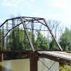
Ward's Crossing Bridge
16 km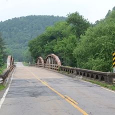
South Fourche LaFave River Bridge
9.6 km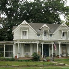
Steamboat House
30.5 km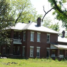
Mountain View Farm
13.4 km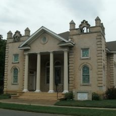
First Presbyterian Church
29.9 km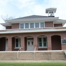
First United Methodist Church
29.9 km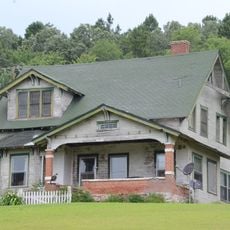
Camp House
15.4 km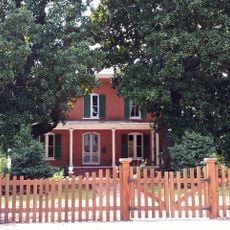
Kimball House
20.5 km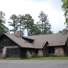
Camp Ouachita Girl Scout Camp Historic District
31.6 km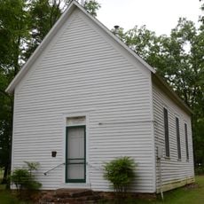
Trinity Lutheran Church
28.9 km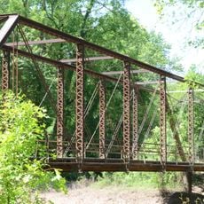
Petit Jean River Bridge
16.3 km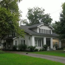
Thomas James Cotton House
29.8 km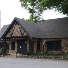
Perryville American Legion Building
32.4 km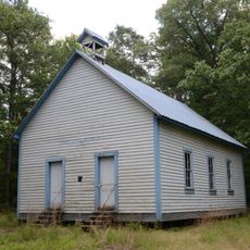
Hawks Schoolhouse
10.6 km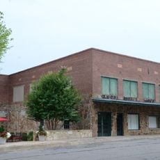
Perryville Commercial Historic District
32.5 km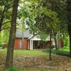
Berry House
29.6 km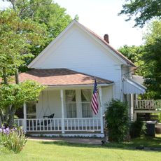
Evans-Neuhart House
13.5 km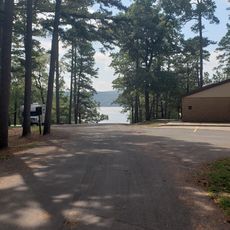
Carter Cove Beach
8 km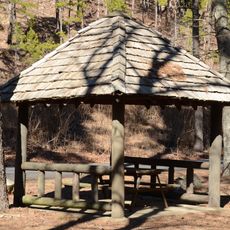
Iron Springs Shelter No. 2
22.5 kmReviews
Visited this place? Tap the stars to rate it and share your experience / photos with the community! Try now! You can cancel it anytime.
Discover hidden gems everywhere you go!
From secret cafés to breathtaking viewpoints, skip the crowded tourist spots and find places that match your style. Our app makes it easy with voice search, smart filtering, route optimization, and insider tips from travelers worldwide. Download now for the complete mobile experience.

A unique approach to discovering new places❞
— Le Figaro
All the places worth exploring❞
— France Info
A tailor-made excursion in just a few clicks❞
— 20 Minutes