Chest opened
+${chestReward.xp} XP
Explorer
NOUVEAU ×${chestReward.collectible.quantity}
tapez pour fermer
Chest locked

Open chests in the app

Around Us is built for your phone — chests unlock when you walk, explore and capture nearby places.

Enable Location

We need your location to show you interesting places around you

Discover nearby places

Find interesting locations and hidden gems around you

Precise directions

Get accurate directions and distances to places

Your location is never shared with other users. It's only used when you tap the location button.

Log in to your account

Start exploring — it's free

Trusted by 72,885 travelers worldwide

Continue with Google
Continue with Apple
or

We will send you a code to connect

By continuing, you accept our Terms and Conditions and our Privacy Policy

Check your inbox

We've sent a pincode in your inbox. Please enter the code below.

Lone Rock Point
Discussion Reviews Photo
2.1k Popularity

Lone Rock Point, Geological thrust fault site in Burlington, United States.

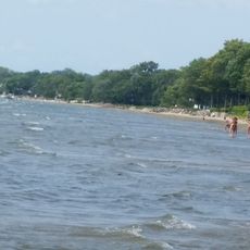
Lone Rock Point is a geological site on Lake Champlain's eastern shore where ancient Cambrian rocks sit directly above younger Ordovician rocks along the Champlain Thrust Fault. The exposed fault zone displays crushed rock fragments that reveal how immense tectonic forces displaced and compressed the layers.

The fault formed hundreds of millions of years ago when tectonic forces during the Taconic Mountain-building event thrust massive blocks of rock over one another. This ancient collision shaped the visible geological layers that visitors see today.

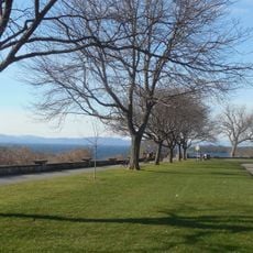
The site draws geology students and researchers who come to study the exposed fault and examine how rock layers tell the story of ancient earth movements. Visitors notice how the visible rock formations serve as an open classroom for understanding tectonic processes.

You need to obtain a property pass from the Episcopal Diocese of Vermont to access the hiking trails that lead to the fault formations. Visit during warmer months when the paths are dry and easier to navigate.

The fault zone contains a distinctive breccia layer made of crushed rock fragments squeezed between two different rock plates during the ancient collision. This layer vividly shows the immense pressure that occurred during the shift.

The community of curious travelers

AroundUs brings together thousands of curated places, local tips, and hidden gems, enriched daily by 60,000 contributors worldwide.

Start exploring
GPS coordinates
44.49031,-73.24874
Latest update
December 13, 2025 17:03
Around this place
Show the full map
Reviews
Share your experience

No review yet

Discussions
Start a discussion...

No discussion yet

« Lone Rock Point - Geological thrust fault site in Burlington, United States » is provided by Around Us (aroundus.com). Images and texts are derived from Wikimedia project under a Creative Commons license. You are allowed to copy, distribute, and modify copies of this page, under the conditions set by the license, as long as this note is clearly visible.

Discover hidden gems everywhere you go!

From secret cafés to breathtaking viewpoints, skip the crowded tourist spots and find places that match your style. Our app makes it easy with voice search, smart filtering, route optimization, and insider tips from travelers worldwide. Download now for the complete mobile experience.

Around Us App Screenshot

A unique approach to discovering new places

Le Figaro

All the places worth exploring

France Info

A tailor-made excursion in just a few clicks

20 Minutes

Around Us
Travel Guide & Maps
Download

Send to your phone

QR Code
1

Open the camera app on your mobile.

2

Point at the QR code with your camera. A notification will appear.

3

Tap the notification to open the link.