
Lyndon State Forest, State forest in Caledonia County, Vermont
Location: Lyndon
Inception: 1912
GPS coordinates: 44.49970,-71.99200
Latest update: March 20, 2025 19:37
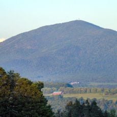
Burke Mountain
11.1 km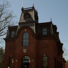
St. Johnsbury Athenaeum
9.3 km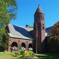
Fairbanks Museum and Planetarium
9.1 km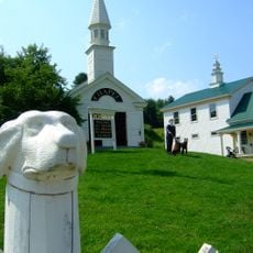
Dog Mountain
7.2 km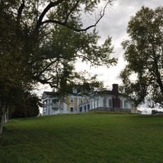
Burklyn Hall
9.7 km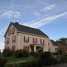
Darling Estate Historic District
9.7 km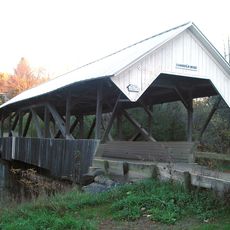
Chamberlin Mill Covered Bridge
2.3 km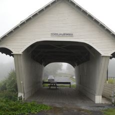
Old Schoolhouse Bridge
2.3 km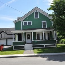
Caleb H. Marshall House
9 km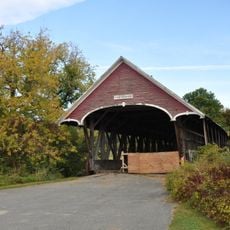
Centre Covered Bridge
5 km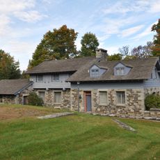
Toll House
12.6 km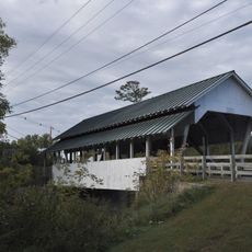
Bradley Covered Bridge
4.9 km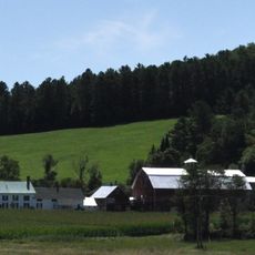
Lee Farm
9.2 km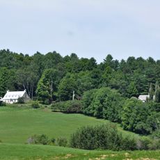
William and Agnes Gilkerson Farm
9.6 km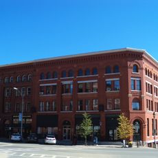
Railroad Street Historic District
9.4 km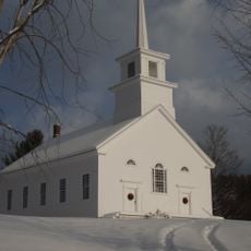
Union Meeting House
14.1 km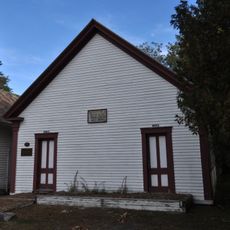
District 6 School House
4.9 km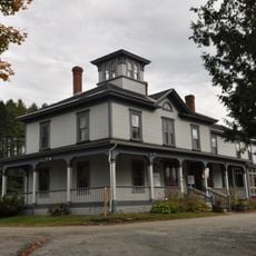
Riverside
1.5 km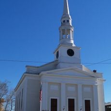
St. Johnsbury Main Street Historic District
9.3 km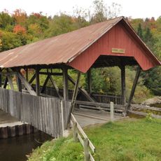
Burrington Covered Bridge
6.3 km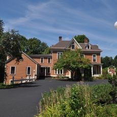
Franklin Fairbanks House
9.6 km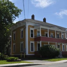
Shearer and Corser Double House
8.7 km
St. Johnsbury Historic District
9.3 km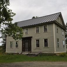
Judge David Hibbard Homestead
9.6 km
Morency Paint Shop and Apartment Building
8.9 km
Wheelock Common Historic District
12.2 km
Cote Apartment House
8.8 km
Maple Street-Clarks Avenue Historic District
8.9 kmReviews
Visited this place? Tap the stars to rate it and share your experience / photos with the community! Try now! You can cancel it anytime.
Discover hidden gems everywhere you go!
From secret cafés to breathtaking viewpoints, skip the crowded tourist spots and find places that match your style. Our app makes it easy with voice search, smart filtering, route optimization, and insider tips from travelers worldwide. Download now for the complete mobile experience.

A unique approach to discovering new places❞
— Le Figaro
All the places worth exploring❞
— France Info
A tailor-made excursion in just a few clicks❞
— 20 Minutes