
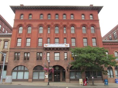
City Hall-Monument District
City Hall-Monument District, historic district in New Britain, Connecticut
Location: New Britain
Part of: Downtown New Britain
GPS coordinates: 41.66806,-72.78306
Latest update: March 8, 2025 05:32
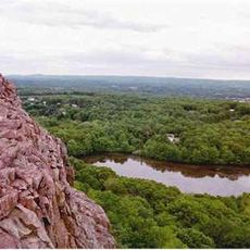
Ragged Mountain
6.5 km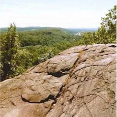
Rattlesnake Mountain
5.3 km
National Iwo Jima Memorial
3.9 km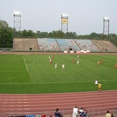
Veterans Stadium
2.4 km
Bradley Mountain
4.7 km
Farmington Mountain
5.7 km
Icabod Bradley House
5.5 km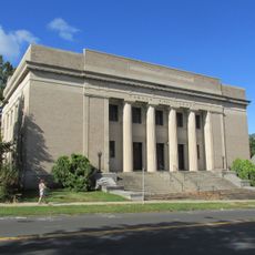
Temple B'Nai Israel
692 m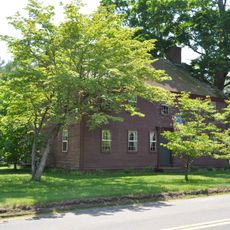
House at 1010 Shuttle Meadow Road
6.2 km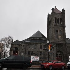
Trinity Methodist Episcopal Church
207 m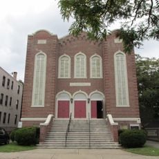
Tephereth Israel Synagogue
554 m
New Britain Museum of American Art
832 m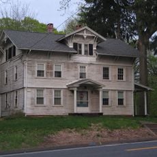
Henry Hooker House
2.7 km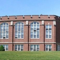
Washington School
1.2 km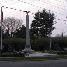
Worthington Ridge Historic District
6.3 km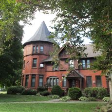
Erwin Home for Worthy and Indigent Women
1.2 km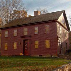
Luman Andrews House
6.4 km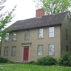
Enoch Kelsey House
5.4 km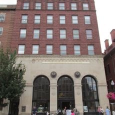
Commercial Trust Company Building
31 m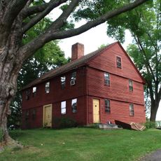
Willard Homestead
6.5 km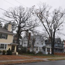
West End Historic District
1.3 km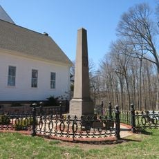
Kensington Soldier's Monument
5 km
Ebenezer Evans House
6 km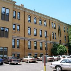
New Britain Public High School Campus
873 m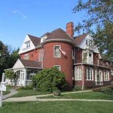
Sloper-Wesoly House
733 m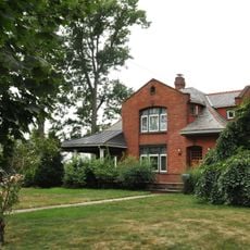
Francis H. Holmes House
2.5 km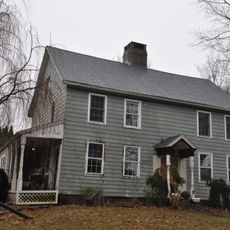
Roswell Moore II House
6.4 km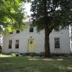
Unni Robbins II House
5.5 kmVisited this place? Tap the stars to rate it and share your experience / photos with the community! Try now! You can cancel it anytime.
Discover hidden gems everywhere you go!
From secret cafés to breathtaking viewpoints, skip the crowded tourist spots and find places that match your style. Our app makes it easy with voice search, smart filtering, route optimization, and insider tips from travelers worldwide. Download now for the complete mobile experience.

A unique approach to discovering new places❞
— Le Figaro
All the places worth exploring❞
— France Info
A tailor-made excursion in just a few clicks❞
— 20 Minutes