
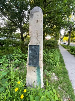
Old Limestone Shaft Historical Marker, Historical Boundary Marker in Johnson County, Iowa, United States of America
Location: Johnson County
Elevation above the sea: 214 m
GPS coordinates: 41.65670,-91.52131
Latest update: March 8, 2025 11:07
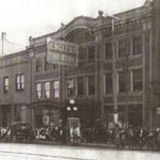
Englert Theatre
968 m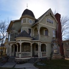
Linsay House
89 m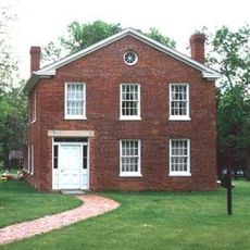
Plum Grove Historic House
1 km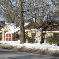
Muscatine Avenue Moffitt Cottage Historic District
505 m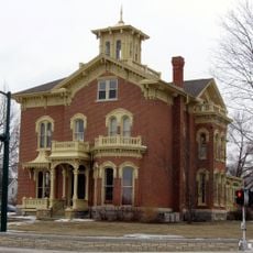
Close House
744 m
Saint Patrick's Church
914 m
Thomas C. Carson House
292 m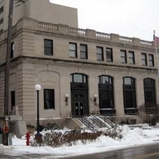
Old Post Office
921 m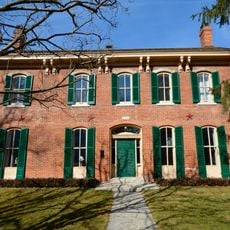
Oakes-Wood House
263 m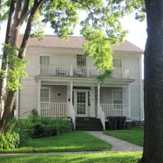
St. Mary's Rectory
784 m
Summit Apartment Building
170 m
First Unitarian Church
858 m
Clark House
859 m
Iowa City Downtown Historic District
979 m
Kirkwood House
857 m
Longfellow Historic District
480 m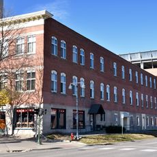
Boerner-Fry Company/Davis Hotel
863 m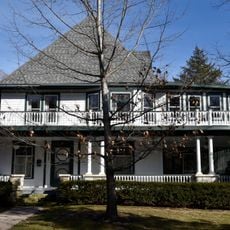
South Summit Street District
252 m
Woodlawn Historic District
515 m
College Block Building
1 km
Melrose Historic District
480 m
Jefferson Street Historic District
1 km
Paul–Helen Building
989 m
William Bostick House
1 km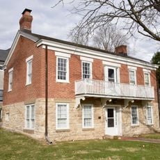
Windrem House
712 m
College Green Historic District
429 m
East College Street Historic District
289 m
Hawthorne Glove and Novelty Company–Shrader Drug Company Building
803 mReviews
Visited this place? Tap the stars to rate it and share your experience / photos with the community! Try now! You can cancel it anytime.
Discover hidden gems everywhere you go!
From secret cafés to breathtaking viewpoints, skip the crowded tourist spots and find places that match your style. Our app makes it easy with voice search, smart filtering, route optimization, and insider tips from travelers worldwide. Download now for the complete mobile experience.

A unique approach to discovering new places❞
— Le Figaro
All the places worth exploring❞
— France Info
A tailor-made excursion in just a few clicks❞
— 20 Minutes