Enable Location

We need your location to show you interesting places around you

Discover nearby places

Find interesting locations and hidden gems around you

Precise directions

Get accurate directions and distances to places

Your location is never shared with other users. It's only used when you tap the location button.

Johnson County

Log in to your account

Start exploring — it's free

Trusted by 62,834 travelers worldwide

Continue with Google
Continue with Apple
or

We will send you a code to connect

By continuing, you accept our Terms and Conditions and our Privacy Policy

Check your inbox

We've sent a pincode in your inbox. Please enter the code below.

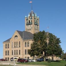
Johnson County, Administrative county in eastern Iowa, US.

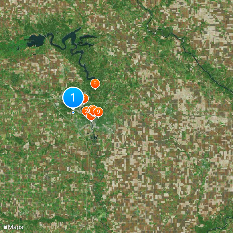
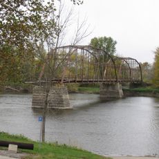
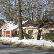
Johnson County is an administrative division in eastern Iowa that encompasses multiple towns and smaller communities spread across the region. The landscape includes both urban centers and rural areas connected by interstate highways and state routes.

The county was established in 1837 when the territorial legislature separated it from a neighboring county. In 2020, leaders renamed it to honor an important figure from Iowa's educational past.

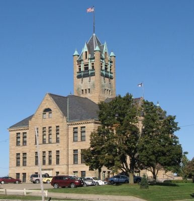
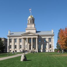
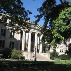
The University of Iowa has shaped how people live and work in this region for generations, drawing students and professionals from across the country and creating a youthful character throughout the county.

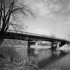
Major highways cross through the county and link its various communities together. These routes make it easy to travel between towns and reach nearby areas.

In 2020, the county was renamed to honor Lulu Merle Johnson, who broke barriers as the first Black woman to earn a doctorate in Iowa. This change reflected the region's commitment to recognizing overlooked figures in the state's past.

The community of curious travelers

AroundUs brings together thousands of curated places, local tips, and hidden gems, enriched daily by 60,000 contributors worldwide.

Start exploring
Location
Inception
December 21, 1837
Capital city
Iowa City
Shares border with
Linn County, Washington County, Muscatine County, Louisa County, Cedar County, Iowa County, Benton County
GPS coordinates
41.66667,-91.58333
Latest update
December 20, 2025 00:53
Around this place
Kinnick Stadium
United States of America

Kinnick Stadium

2.8 km
Benton Street Bridge
United States of America

Benton Street Bridge

4.1 km
Iowa Old Capitol Building
United States of America

Iowa Old Capitol Building

4 km
Coralville Lake
United States of America

Coralville Lake

7.8 km
United States of America

Edgewater Park Site

2.8 km
Pentacrest
United States of America

Pentacrest

4 km
Englert Theatre
United States of America

Englert Theatre

4.3 km
Linsay House
United States of America

Linsay House

5.3 km
Plum Grove Historic House
United States of America

Plum Grove Historic House

5.3 km
United States of America

University of Iowa Stanley Museum of Art

3.6 km
Sutliff Bridge
United States of America

Sutliff Bridge

24.9 km
Muscatine Avenue Moffitt Cottage Historic District
United States of America

Muscatine Avenue Moffitt Cottage Historic District

5.8 km
University of Iowa Museum of Natural History
United States of America

University of Iowa Museum of Natural History

4 km
Hickory Hill Park
United States of America

Hickory Hill Park

6.1 km
Close House
United States of America

Close House

4.7 km
United States of America

Iowa Memorial Union

3.8 km
Johnson County Courthouse
United States of America

Johnson County Courthouse

4.2 km
St. Mary's Catholic Church
United States of America

St. Mary's Catholic Church

20.4 km
Saint Patrick's Church
United States of America

Saint Patrick's Church

4.4 km
Thomas C. Carson House
United States of America

Thomas C. Carson House

5.1 km
Ned Ashton House
United States of America

Ned Ashton House

2.8 km
United States of America

Old State Quarry State Preserve

10.8 km
United States of America

Blue Top Ridge Golf Course

19.3 km
Secrest Octagon Barn
United States of America

Secrest Octagon Barn

18.7 km
Emma J. Harvat and Mary E. Stach House
United States of America

Emma J. Harvat and Mary E. Stach House

4.4 km
Old Post Office
United States of America

Old Post Office

4.4 km
Oakes-Wood House
United States of America

Oakes-Wood House

5.5 km
St. Mary's Rectory
United States of America

St. Mary's Rectory

4.7 km
Show the full map
Administrative divisions
« Johnson County - Administrative county in eastern Iowa, US » is provided by Around Us (aroundus.com). Images and texts are derived from Wikimedia project under a Creative Commons license. You are allowed to copy, distribute, and modify copies of this page, under the conditions set by the license, as long as this note is clearly visible.

Discover hidden gems everywhere you go!

From secret cafés to breathtaking viewpoints, skip the crowded tourist spots and find places that match your style. Our app makes it easy with voice search, smart filtering, route optimization, and insider tips from travelers worldwide. Download now for the complete mobile experience.

Around Us App Screenshot

A unique approach to discovering new places

Le Figaro

All the places worth exploring

France Info

A tailor-made excursion in just a few clicks

20 Minutes

Around Us
Travel Guide & Maps
Download

Send to your phone

QR Code
1

Open the camera app on your mobile.

2

Point at the QR code with your camera. A notification will appear.

3

Tap the notification to open the link.