Charlotte Amalie, administrative sub-district of the U.S. Virgin Islands
AroundUs brings together thousands of curated places, local tips, and hidden gems, enriched daily by 60,000 contributors worldwide. Discover all places nearby (Saint Thomas).
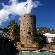
Blackbeard's Castle
2.2 km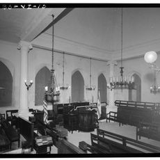
St. Thomas Synagogue
1.8 km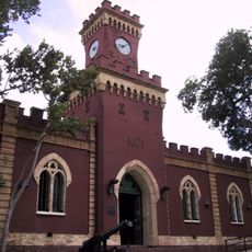
Fort Christian
2.1 km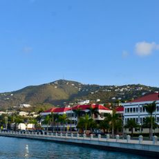
Crown Mountain
3.2 km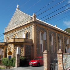
Cathedral Church of All Saints
2 km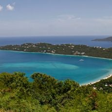
Magens Bay Arboretum
3.3 km
Lionel Roberts Park
2.4 km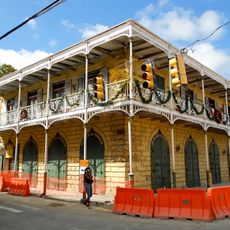
Charlotte Amalie Historic District
1.9 km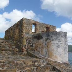
Fort Willoughby
2.5 km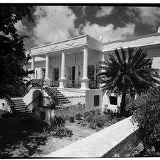
Estate Catherineberg
1.8 km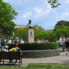
Emancipation Gardens
2 km
Nur Mosque
3.4 km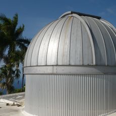
Etelman Observatory
1.6 km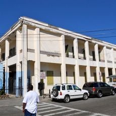
Hamburg-America Shipping Line Administrative Offices
1.9 kmMafolie Great House
2.7 km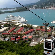
Skyride to Paradise Point
3.3 km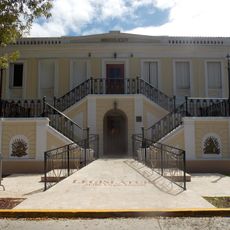
Legislature Building
2.1 km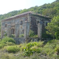
Hassel Island Historic District
1.9 km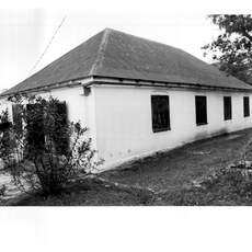
New Herrnhut Moravian Church
5 km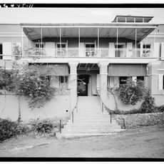
Hotel 1829
2 km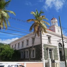
Moravian Memorial Church
2.3 km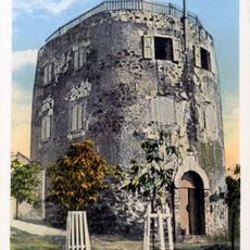
Bluebeard's Castle
2.7 km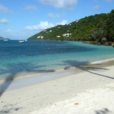
Magens Bay Beach
4 kmCommercial Hotel and Coffee House
2 km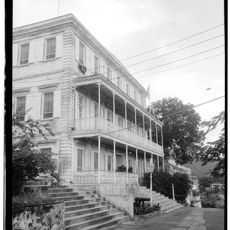
Government House
2.2 km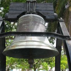
Liberty Bell
2 km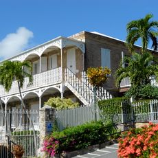
Villa Notman
2 km
Water Island
2.1 kmDiscover hidden gems everywhere you go!
From secret cafés to breathtaking viewpoints, skip the crowded tourist spots and find places that match your style. Our app makes it easy with voice search, smart filtering, route optimization, and insider tips from travelers worldwide. Download now for the complete mobile experience.

A unique approach to discovering new places❞
— Le Figaro
All the places worth exploring❞
— France Info
A tailor-made excursion in just a few clicks❞
— 20 Minutes