Enable Location

We need your location to show you interesting places around you

Discover nearby places

Find interesting locations and hidden gems around you

Precise directions

Get accurate directions and distances to places

Your location is never shared with other users. It's only used when you tap the location button.

Zagros Mountains

Log in to your account

Start exploring — it's free

Trusted by 67,950 travelers worldwide

Continue with Google
Continue with Apple
or

We will send you a code to connect

By continuing, you accept our Terms and Conditions and our Privacy Policy

Check your inbox

We've sent a pincode in your inbox. Please enter the code below.

Zagros Mountains
Discussion Reviews 1 Photos
159k Popularity

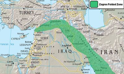
Zagros Mountains, Mountain range in western Iran and eastern Iraq.

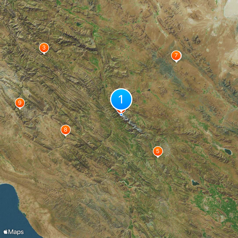
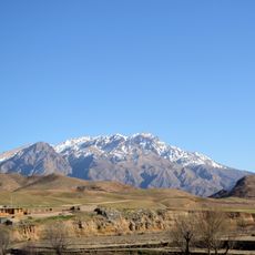
The Zagros Mountains form a long chain stretching across western Iran and eastern Iraq, resting on sedimentary layers of limestone. Several peaks rise above 4,000 meters (13,000 feet), including Mount Dena at 4,409 meters (14,465 feet), and the terrain shows deep valleys, steep slopes, and broad plateaus.

The mountain chain formed about 25 million years ago when the Eurasian and Arabian plates collided, pushing the seafloor upward. This movement continued over time, shaping the folds and layers visible along the mountain slopes today.

Several communities have lived in these mountains for centuries, moving their herds between valleys and high pastures with the changing seasons. Villages along the slopes show building styles in stone and mud that adapt to the harsh climate and match the daily needs of the people.

The best time to visit is between spring and autumn, when temperatures in the valleys and plateaus are comfortable. Visitors should bring clothing for changing weather, as elevation and terrain can shift conditions sharply within a single day.

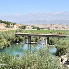
Beneath the southwestern foothills lie large petroleum deposits that have driven economic activity in the region for over a century. Rainfall between 400 and 800 millimeters falls mostly in winter and spring, feeding rivers that flow into the lowlands.

The community of curious travelers

AroundUs brings together thousands of curated places, local tips, and hidden gems, enriched daily by 60,000 contributors worldwide.

Start exploring
Elevation above the sea
4,409 m
Made from material
sedimentary rock
Part of
Alpide belt
GPS coordinates
30.94500,51.44000
Latest update
December 15, 2025 15:04
Reviews
Share your experience

No review yet

Discussions
Start a discussion...

No discussion yet

« Zagros Mountains - Mountain range in western Iran and eastern Iraq » is provided by Around Us (aroundus.com). Images and texts are derived from Wikimedia project under a Creative Commons license. You are allowed to copy, distribute, and modify copies of this page, under the conditions set by the license, as long as this note is clearly visible.

Discover hidden gems everywhere you go!

From secret cafés to breathtaking viewpoints, skip the crowded tourist spots and find places that match your style. Our app makes it easy with voice search, smart filtering, route optimization, and insider tips from travelers worldwide. Download now for the complete mobile experience.

Around Us App Screenshot

A unique approach to discovering new places

Le Figaro

All the places worth exploring

France Info

A tailor-made excursion in just a few clicks

20 Minutes

Around Us
Travel Guide & Maps
Download

Send to your phone

QR Code
1

Open the camera app on your mobile.

2

Point at the QR code with your camera. A notification will appear.

3

Tap the notification to open the link.