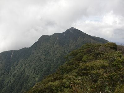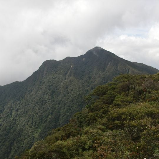
Mount Korbu, Mountain peak in Hulu Kinta, Malaysia.
Mount Korbu is the highest peak in Perak state and the second tallest mountain on Peninsular Malaysia, rising to 2,183 meters above sea level. The summit sits at the heart of forested terrain that requires multiple days to traverse.
Mount Korbu lies on the Titiwangsa Mountains, described in the sources as the southernmost section of the Tenasserim Hills. Its name was given by Sakai Orang Asli, according to R.O. Winstedt's 'Malaya and Its History', and 'Korbu' means 'kerbau', or buffalo. The summit stands at 2,183 m, four metres below Mount Tahan, and is the highest point of Perak and Kinta District.
The name Korbu comes from the Sakai Orang Asli word for "kerbau" (buffalo), according to R.O. Winstedt's "Malaya and Its History". Climbers pass Semai Orang Asli settlements near Tanjung Rambutan and along the Sungai Termin route, and the old Sungai Seno'oi trail runs via Kg Cadak and Kg Makmur. The mountain lies within the G7 group of Peninsular peaks above 2,134 m.
Permits come from the Kinta/Manjung District Forest Office, not the dam authority: send a letter at least a week ahead, fax it to 05-3651679, then pay RM10 per person by postal order to the Perak State Treasurer. Register at Tanjung Rambutan police station before starting from the police and Kinta water department barracks, 16 km from the trailhead.
The name Korbu comes from the Sakai Orang Asli word for "kerbau" (buffalo), according to R.O. Winstedt's book 'Malaya and Its History'. The summit also opens onto a wide view: Ipoh city, the Kinta Valley, Bukit Keledang, the Strait of Malacca, the Bukit Larut transmitter near Taiping, Penang island, Mount Gayong, Mount Yong Belar and Mount Brinchang in the Cameron Highlands.
The community of curious travelers
AroundUs brings together thousands of curated places, local tips, and hidden gems, enriched daily by 94,479 contributors worldwide.