Madriu-Perafita-Claror Valley, Protected glacial valley in Encamp, Andorra
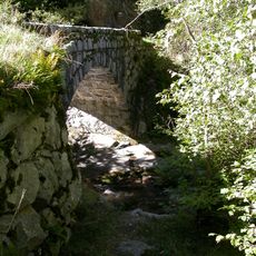
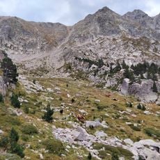
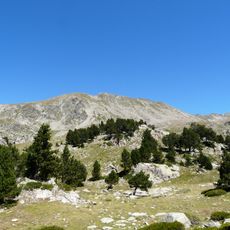
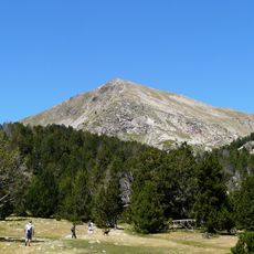
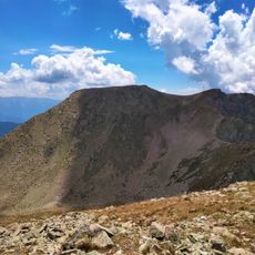
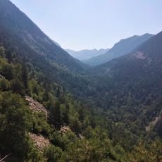
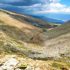
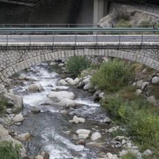
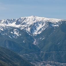
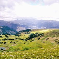
The Madriu-Perafita-Claror Valley is a large mountain valley in Andorra with steep slopes, high grasslands, and thick forest areas throughout. Mountain streams carve through the landscape, creating narrow passages where the terrain shifts between open meadows and dense woodland.
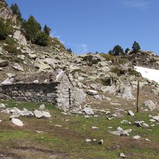
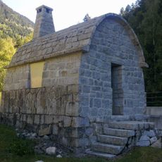
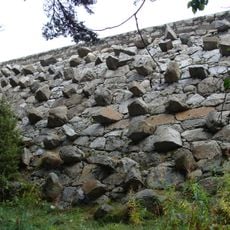
The valley has been used by people since medieval times, particularly for iron smelting operations along the Madriu River. These forges worked for hundreds of years until they closed in the late 1700s, leaving behind evidence of this old industry.
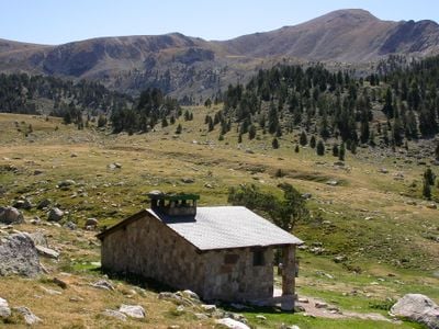
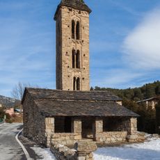
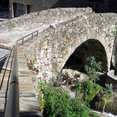
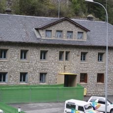
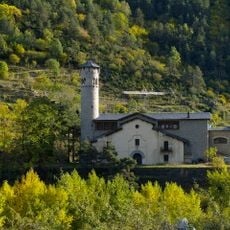
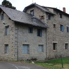
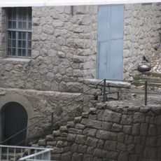
The stone houses with slate roofs in the small settlements show how mountain communities built their homes to survive harsh weather. This building style reflects the practical knowledge people developed over centuries in this high-altitude landscape.
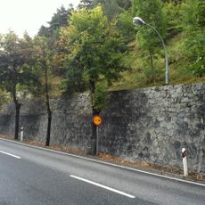
The valley can only be reached on foot through a network of hiking trails, as no roads lead into this protected area. Visitors should prepare for changeable mountain weather and bring sturdy footwear for uneven terrain and steep sections.
The valley maintains a shared land system that traces back to the 13th century, where farmers still graze livestock in the high pastures today. This ancient ownership model is rare in Europe and shows how traditional communities managed their mountain resources together.
The community of curious travelers
AroundUs brings together thousands of curated places, local tips, and hidden gems, enriched daily by 60,000 contributors worldwide.