Chincha Province, Province in Ica Department, Peru
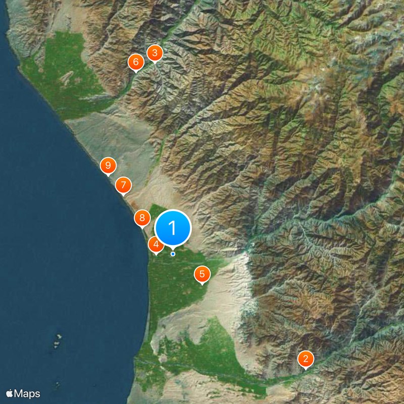
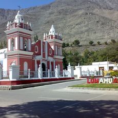
Chincha Province stretches across terrain ranging from the Pacific coast to inland regions, encompassing eleven distinct administrative districts. The landscape transitions between coastal areas and interior zones where different geographic features and land uses come together.
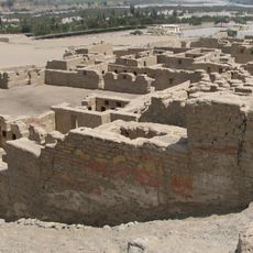
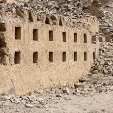
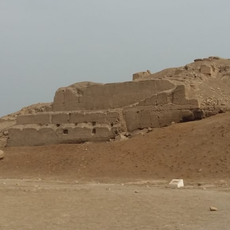
The region developed into a major agricultural center during colonial times, shaped by extensive cotton and sugarcane plantations. This farming foundation established the economic patterns that influenced the province's growth.
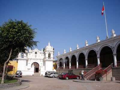
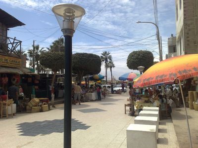
The districts of Chincha maintain strong Afro-Peruvian traditions that shape daily life and community identity through music, dance, and local celebrations throughout the year. These cultural roots remain visible in how people gather and celebrate together.
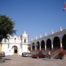
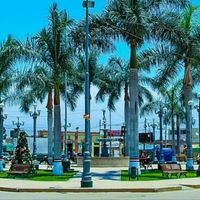
The provincial capital Chincha Alta sits on the Pan-American Highway, offering direct connection to Lima and regional markets. This road serves as the main route for traveling between the various districts and exploring different areas.
Different districts show striking differences in population distribution, with some areas densely settled and others barely inhabited. These variations reveal how settlement patterns differ greatly across the province.
The community of curious travelers
AroundUs brings together thousands of curated places, local tips, and hidden gems, enriched daily by 60,000 contributors worldwide.