Ica Department, Administrative region in southern Peru
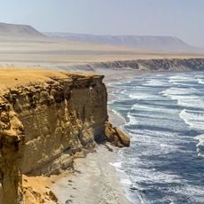
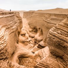
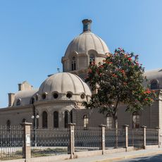
Ica Department is a first-level administrative division in southern Peru, stretching from the Pacific coastline eastward toward the Andean foothills. Sandy deserts alternate with green river valleys, where vineyards and cotton fields grow between barren hills.
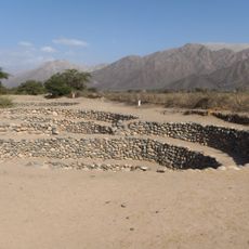
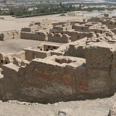
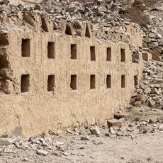
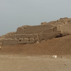
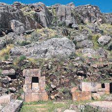
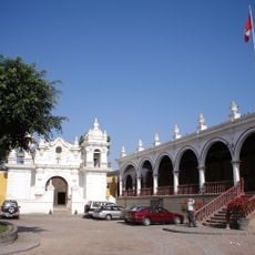
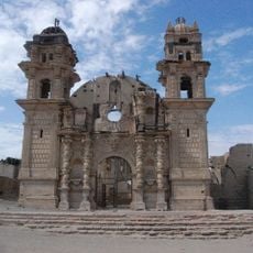
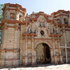
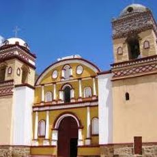
The Paracas culture inhabited this territory from around 800 BCE, creating complex textiles before the Nazca civilization followed between 200 BCE and 600 CE. Spanish colonizers arrived in the 16th century and transformed the region into agricultural holdings with wine production.
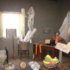
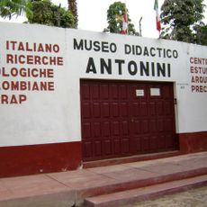
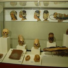
Ancient burial sites dot the dry hills, where wrapped mummies and woven fabrics from pre-Columbian times still emerge from the sand after centuries underground. Local artisans continue traditional weaving and pottery techniques passed down through generations, creating patterns seen in museum collections.
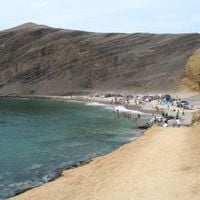
The Pan-American Highway runs through the entire region, connecting it with Lima to the north and Chile to the south, while buses operate regularly along this route. Desert conditions prevail year-round with little rain and strong sun, so protection and plenty of water are important.
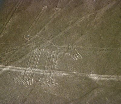
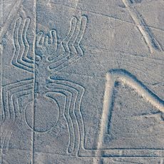
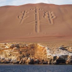
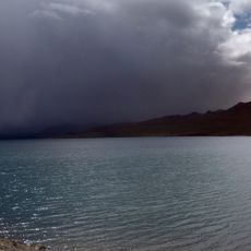
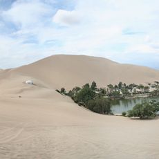
A lagoon called Huacachina sits amid high sand dunes near Ica city, forming one of the few natural water spots in this dry landscape. Geoglyphs cover the pampa plains south of the capital, where giant lines and animal shapes were scratched into the ground and remain fully visible only from the air.
The community of curious travelers
AroundUs brings together thousands of curated places, local tips, and hidden gems, enriched daily by 60,000 contributors worldwide.