40th parallel north, Circle of latitude, Earth.
The 40th parallel north is an invisible line running horizontally around the planet, positioned forty degrees north of the equator. This geographic marker crosses landmasses and oceans, connecting locations such as Ankara, Beijing, Denver, and Lisbon.
Cartographers used this latitude as a reference point when surveying and creating maps for centuries, especially during the era of great exploration. Later, it marked certain boundary segments between territories in North America during westward expansion.
The parallel connects diverse regions and societies, crossing through Mediterranean coastal areas, Asian steppes, American prairies, and Japanese islands.
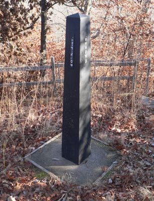
This latitude cannot be seen directly, but GPS devices and maps display it when traveling along the line. Visitors often notice changes in climate and vegetation as they pass through this geographic zone.
Several of the oldest cities in human history sit at this latitude, including ancient settlements in the Mediterranean and Central Asia. The sunlight at this point allows many crops to grow that were central to early civilizations.
The community of curious travelers
AroundUs brings together thousands of curated places, local tips, and hidden gems, enriched daily by 60,000 contributors worldwide.