
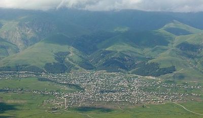
Margahovit, village in Lori Province of Armenia
Location: Lori Region
Elevation above the sea: 1,750 m
GPS coordinates: 40.73806,44.68750
Latest update: March 7, 2025 14:05

Haghartsin Monastery
18.5 km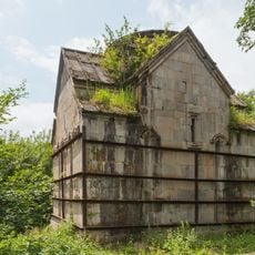
Jukhtak Monastery
10 km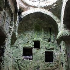
Matosavank
9.9 km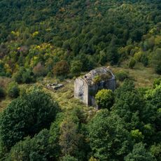
Tejharuyk Monastery
16.1 km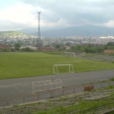
Lori Stadium
17.6 km
Thezhler
8.2 km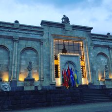
The Geological Museum and Art Gallery of Dilijan
15.1 km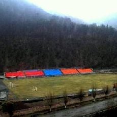
Dilijan City Stadium
14.2 km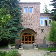
Stepan Zoryan's House Museum
18.4 km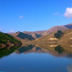
Marmarik Reservoir
18.3 km
Mimino
15 km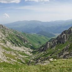
Artavaz
12.3 km
Vanadzor Fine Arts Museum
18 km
Мост Заманлу (Замарлу)
18.1 km
Jukhtak Monastery
14.8 km
Lori Regional Library
14.6 km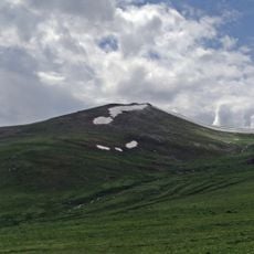
Ampasar
7.3 km
Vanadzor Botanical Garden
18.1 km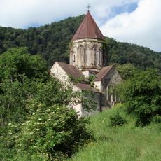
St. Astvatsatsin Church
18.6 km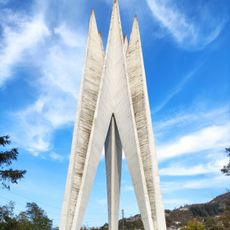
Monument of 50 years of Soviet Armenia
15 km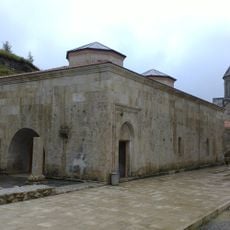
Haghartsin Refectory
18.5 km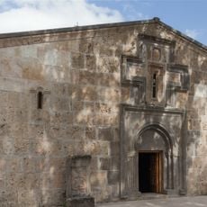
Church of St. Gregory the Illuminator
18.6 km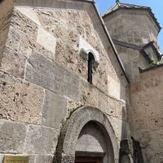
St. Kathoghike Church
18.6 km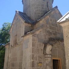
St. Stephanos Church
18.6 km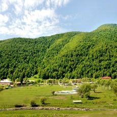
Zepyur Football Training Camp
16.4 km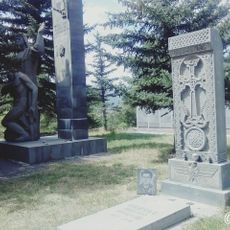
World War II memorial in Meghradzor
15.6 km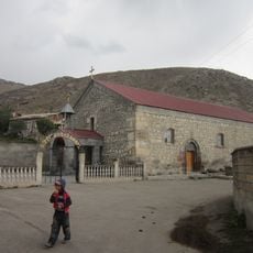
Saint Holy Mother of God church in Meghradzor
14.8 km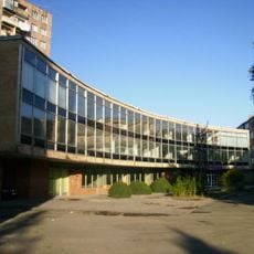
Պատկերասրահի շենքը
17.9 kmVisited this place? Tap the stars to rate it and share your experience / photos with the community! Try now! You can cancel it anytime.
Discover hidden gems everywhere you go!
From secret cafés to breathtaking viewpoints, skip the crowded tourist spots and find places that match your style. Our app makes it easy with voice search, smart filtering, route optimization, and insider tips from travelers worldwide. Download now for the complete mobile experience.

A unique approach to discovering new places❞
— Le Figaro
All the places worth exploring❞
— France Info
A tailor-made excursion in just a few clicks❞
— 20 Minutes