
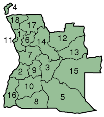
Kuvelai, municipality of Angola
Location: Cunene Province
Elevation above the sea: 1,231 m
GPS coordinates: -15.66667,15.80000
Latest update: April 3, 2025 07:24

Etosha National Park
350.6 km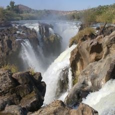
Epupa Falls
310.8 km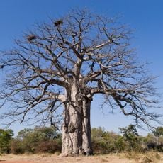
Iona National Park
387 km
Ombalantu Baobab
222.9 km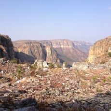
Tundavala Gap
276.4 km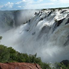
Ruacana Falls
255.8 km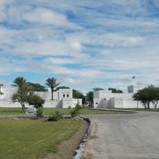
Namutoni
370.1 km
Mupa National Park
36.2 km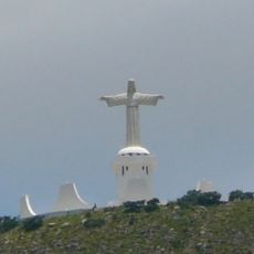
Cristo Rei, Lubango
258.7 km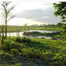
Bicuari National Park
114.5 km
Cine-Teatro Monumental
430 km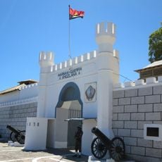
Saint Ferdinand Fort
395.7 km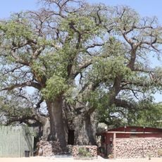
Okahao Baobab
259.9 km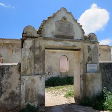
Fort Saint Peter
434.3 km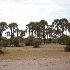
Omhedi Cultural Landscape
204.2 km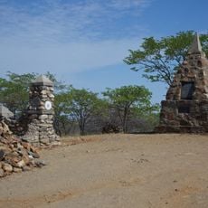
Dorslandtrek-Monument
298.4 km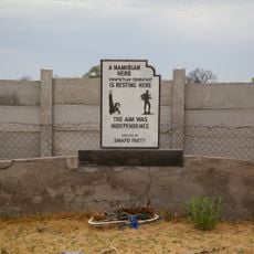
Monument of the Unknown PLAN Soldiers at Outapi
222.5 km
Saint-Joseph Cathedral in Lubango
260.9 km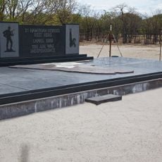
Monument of the Unknown PLAN Soldiers at Ondeshifiilwa
192.9 km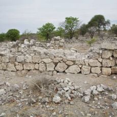
Dorsland Trekker Cottage
341.9 km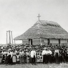
Nakambale House, Church and Cemetery
252.1 km
Namibe Reserve
364.5 km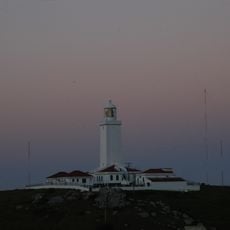
Cabo de Santa Marta Lighthouse
414.4 km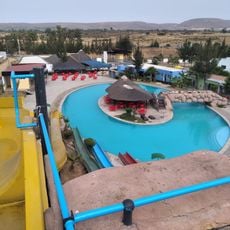
Huíla Park - Parque Aquático
248.1 km
Cine Tômbwa
423.7 km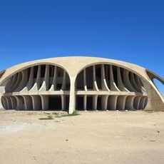
Cine Estúdio
396.1 km
Cine Ruacaná
323.2 km
Town Hall of Benguela
430.3 kmReviews
Visited this place? Tap the stars to rate it and share your experience / photos with the community! Try now! You can cancel it anytime.
Discover hidden gems everywhere you go!
From secret cafés to breathtaking viewpoints, skip the crowded tourist spots and find places that match your style. Our app makes it easy with voice search, smart filtering, route optimization, and insider tips from travelers worldwide. Download now for the complete mobile experience.

A unique approach to discovering new places❞
— Le Figaro
All the places worth exploring❞
— France Info
A tailor-made excursion in just a few clicks❞
— 20 Minutes