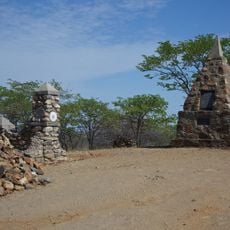
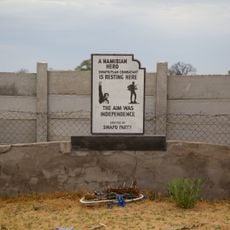
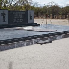
Bicuari National Park, National park in Huíla Province, Angola.
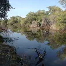
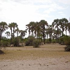
Bicuari National Park lies on the Huíla Plateau about 120 km southeast of Lubango, a stretch of sandy hills covered in shrub thicket. The Cunene River, one of the region's few perennial rivers, borders it on the east. Its vegetation is Angolan miombo and mopane woodland, with seasonally wet dambo grasslands in places.
The area began as a hunting reserve in 1938 before becoming a national park in 1964. The subsequent civil war from 1975 to 2002 caused severe decline in wildlife populations.
The park lies at the northern end of the Angolan mopane woodlands ecoregion, where mopane trees are important to both the animals and the people of the region. The park administrator has linked the return of elephant herds to the municipalities of Quipungo, Matala and Gambos with animals recognising their habitat and reproducing inside the park.
The main access point is Lubango city to the northwest, where you should arrange transportation and lodging before visiting. Limited facilities in the area mean advance planning is important for a comfortable visit.
Bicuari marks the northern limit of the Angolan mopane woodlands ecoregion, where mopane trees give way to miombo woodland on the plateau. The park was reportedly used as an artillery practice range during the civil war, which together with poaching and human encroachment reduced its wildlife. Since 2013 elephants have returned to the municipalities of Quipungo, Matala and Gambos.
The community of curious travelers
AroundUs brings together thousands of curated places, local tips, and hidden gems, enriched daily by 93,789 contributors worldwide.